Name: Period: Plate Tectonics SECTION 17.1 Drifting Continents
advertisement
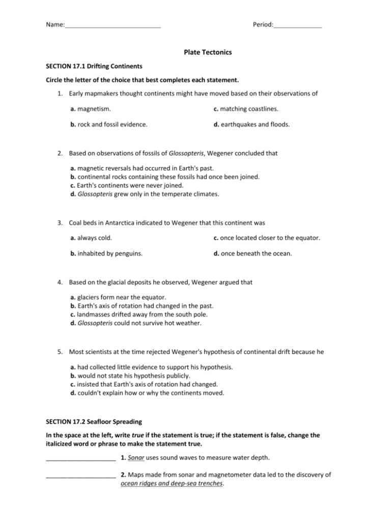
Name: Period: Plate Tectonics SECTION 17.1 Drifting Continents Circle the letter of the choice that best completes each statement. 1. Early mapmakers thought continents might have moved based on their observations of a. magnetism. c. matching coastlines. b. rock and fossil evidence. d. earthquakes and floods. 2. Based on observations of fossils of Glossopteris, Wegener concluded that a. magnetic reversals had occurred in Earth's past. b. continental rocks containing these fossils had once been joined. c. Earth's continents were never joined. d. Glossopteris grew only in the temperate climates. 3. Coal beds in Antarctica indicated to Wegener that this continent was a. always cold. c. once located closer to the equator. b. inhabited by penguins. d. once beneath the ocean. 4. Based on the glacial deposits he observed, Wegener argued that a. glaciers form near the equator. b. Earth's axis of rotation had changed in the past. c. landmasses drifted away from the south pole. d. Glossopteris could not survive hot weather. 5. Most scientists at the time rejected Wegener's hypothesis of continental drift because he a. had collected little evidence to support his hypothesis. b. would not state his hypothesis publicly. c. insisted that Earth's axis of rotation had changed. d. couldn't explain how or why the continents moved. SECTION 17.2 Seafloor Spreading In the space at the left, write true if the statement is true; if the statement is false, change the italicized word or phrase to make the statement true. ____________________ 1. Sonar uses sound waves to measure water depth. ____________________ 2. Maps made from sonar and magnetometer data led to the discovery of ocean ridges and deep-sea trenches. ____________________ 3. The deepest trench, Marianas Trench, is in the Pacific Ocean. ____________________ 4. Rock samples taken near ocean ridges are older than rock samples taken near deep-sea trenches. ____________________ 5. The thickness of ocean-floor sediments decreases with distance from an ocean ridge. ____________________ 6. The oldest ocean floor rocks are about 3.8 billion years old. ____________________ 7. The study of the magnetic record preserved in Earth's rocks is called paleomagnetism. ____________________ 8. An isochron is a change in Earth's magnetic field. ____________________ 9. The magnetic patterns on either side of a deep-sea trench are mirror images of each other. ____________________ 10. As new seafloor is carried away from an ocean ridge, it heats up, expands, and becomes less dense than the material beneath it. ____________________ 11. The Mid-Oceanic ridge is formed on a convergent boundary. The statements below describe the steps involved in the process of seafloor spreading. Number these steps in the order in which they occur. ________ 12. Magma fills the gap that is created. ________ 13. Magma hardens to form new ocean crust. ________ 14. Magma is forced upward toward the crust. Use each of the terms below just once to complete the passage. isochron magnetic field normal polarity older reversed polarity younger Earth's (15) _________________ has changed over time. A field with the same orientation as today's field is said to have (16) _________________. A field that is opposite the present field has (17) _________________. Magnetometers have been used to measure the ocean floor's magnetic field. Magnetic data of the ocean floor has been used to generate (18) _________________ maps, which have shown that the ocean floor is (19) _________________ near ocean ridges and (20) _________________ near deep-sea trenches. For each item in Column A, write the letter of the matching item in Column B. Column A ________ ________ ________ ________ ________ Column B 21. Device that can detect small changes in magnetic fields a. isochron 22. Minerals containing this act like small compass needles and record the orientation of Earth's magnetic field at the time of their formation b. iron 23. Was constructed from data gathered from continental basalt flows c. geomagnetic time scale 24. This type of line connects points on a map that have the same age d. new ocean crust 25. Each cycle of spreading and magma intrusion along an ocean ridge results in the formation of this e. magnetometer SECTION 17.3 Theory of Plate Tectonics Circle the letter of the choice that best completes the statement or answers the question. 26. Tectonic plates interact at places called plate a. reversals. c. regions. b. boundaries. d. subductions. 27. Places where tectonic plates move apart are called a. convergent boundaries. c. subduction zones. b. transform boundaries. d. divergent boundaries. 28. Where are most divergent boundaries found? a. on the seafloor c. along coastlines b. on continents d. at subduction zones 29. The Mid-Atlantic Ridge is an example of a a. divergent boundary. c. subduction zone. b. convergent boundary. d. transform boundary. 30. Places where tectonic plates come together are called a. convergent boundaries. c. transform boundaries. b. divergent boundaries. d. rift valleys. 31. Convergent boundaries are classified according to the a. types of fossils found at the boundaries. c. compass direction of movement of the plates. b. rate at which the plates collide. d. type of crust involved. 32. At which tectonic plate boundary do plates slide horizontally past each other? a. transform boundary c. continental-continental boundary b. divergent boundary d. oceanic-oceanic boundary 33. Which of the following is NOT associated with transform boundaries? a. deformed and fractured crust c. long faults b. shallow earthquakes d. volcanoes Answer the following questions. 34. Explain the process of convection. 35. Explain how ancient glacial deposits in Africa, India, Australia, and South America support the idea of continental drift. 36. Summarize how rocks, fossils, and climate provided evidence of continental drift. 37. Explain how ocean-floor rocks and sediments provided evidence of seafloor spreading. 38. Describe how plate tectonics results in the development of Earth’s major geologic features. 39. How do ridge push and slab pull differ? 40. Draw a diagram comparing convection in a pot of water with convection currents in Earth’s mantle. Relate the process of convection to plate movement.


