DYNAMIC_PLANET_QUIZ_FEB_18TH_2012
advertisement
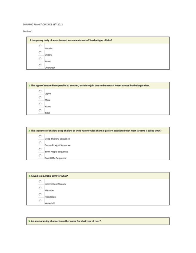
DYNAMIC PLANET QUIZ FEB 18TH 2012 Station 1 . A temporary body of water formed in a meander cut-off is what type of lake? Hoodoo Oxbow Yazoo Overwash 2. This type of stream flows parallel to another, unable to join due to the natural levees caused by the larger river. Ogive Mere Yazoo Tidal 3. The sequence of shallow-deep-shallow or wide-narrow-wide channel pattern associated with most streams is called what? Deep-Shallow Sequence Curve-Straight Sequence Bowl-Ripple Sequence Pool-Riffle Sequence 4. A wadi is an Arabic term for what? Intermittent Stream Meander Floodplain Waterfall 5. An anastomosing channel is another name for what type of river? Intermittent Straight Braided Meandering 6. Due to its shape, the Mississippi delta is known as what type of delta? Tidal Pluvial Estuarine Birds Foot 7. During the last ice age there were great rivers flowing beneath the ice caps. As the ice melted, these landforms were left on the land surface where the rivers once flowed. Dykes Moulins Eskers Kaolins 8. Over time, a meandering channel migrates, both downstream and from side-to-side. This process is known as what? Meander Refraction Pneumatolysis Lateral Accretion Stretching 9. When a river floods, it deposits fine sediments on the floodplain. These sediments are called what? Sinters Lateral Accretions Overbank deposits Turbidity Layers 10. One of the choices below is a structure used to monitor the flow of a river or stream. Dam Hydrograph Tor Weir STATION 2: 1. What is the longest river in Africa? ____________________________ 2. What is the longest river in South America? ____________________________ 3. What continent has no rivers? ___________________________________ 4. What is the name of the beginning of a river? _______________________________ 5. What is the name of a river or stream that flows into a larger river? _______________________________ 6. What is the name of a stagnant lake that forms alongside a river after the river changes course? _______________________________ 7. What is the name of the end of a river, where it empties into a large body of water? _______________________________ 8. River deltas usually have what shape? _______________________________ 9. What is the name of the area where a river meets the sea or ocean? _______________________________ 10. What is the name of the natural cycle in which water travels from the earth to the atmosphere and back again? _______________________________ STATION 3: 1. What is the name of the point where a river starts? Select an answ er Source 0 2. What is the name of the point where a river ends? 0 Select an answ er Mouth 3. What is the name of an area of highland surrounding a river basin? Watershed 4. Select an answ er 0 What is the name of the point where two rivers meet? Select an answ er Confluence 0 5. In the natural environment, water flows in a ________? Select an answ er Channel 0 6. The main human cause of flooding in Bangladesh is ______ Deforestation 7. 0 How can flooding in Bangladesh be reduced? All of the above 8. 9. Select an answ er 0 Any moisture falling from the atmosphere is known as what? Precipitation Select an answ er Select an answ er 0 When trees and buildings stop rain from reaching the ground this is known what? Interception Select an answ er 0 10. When water returns to the atmosphere from lakes and rivers this is called? STATION 4 IDENTIFY THESE BELOW PICTURES AND LABEL THEM ……………. Select an answ er 1. 2. 3. STATION 5: 1. Backward rotation of a mass of earth material when mobilized is typical of slides slumps rock fall creep 2. Another term that describes chemical weathering is disintegration decomposition rotting fragmentation 3. Curved tree trunks, fractured retaining walls, curved roots are typical features of slides slumps rock fall creep 4. Talus is a deposit associated with slides slumps rock fall creep 5. Physical weathering is typical of warm and wet environments results in new mineral products being formed increases surface area all the above 6. Solifluction is a mass movement process in the rain forest the desert the tundra the steppe 7. _______ erosion occurs when water is confined to small channels. rain splash sheet rill gully 8. Sheet erosion occurs as channeled flow in some cases is nearly imperceptible occurs when the infiltration capacity of the soil exceeds the rainfall intensity all the above 9. Karst landscapes develop over _________ bedrock sandstone limestone granite basalt 10. Conditions favorable for mudflows include unconsolidated surface materials steep slopes abundant but intermittent precipitation sparse cover of vegetation all the above STATION 6: Map Reading Activity: Topography Geography Pages 1. Color the elevations on the topographic map as follows. Red: 50m and higher, Orange: 40-50m, Yellow: 30-40m, Light green: 20-30m, Dark green: 10-20m, Purple: 0-10m. 2. Approximately how tall is Able Hill? ___________________________ 3. Approximately how tall is Baker Hill? ___________________________ 4. Which mountain is taller, and by about how much? 5. How many meters of elevation are there between contour lines on the topographic map? 6. Which mountain has steeper slopes? 7. Are the contour lines closer together on Able Hill or Baker Hill? ___________________________ ___________________________ ___________________________ ___________________________ SECOND PART OF STATION 6: Map Reading Activity: Topography #2 Geography Pages 1. Color the elevations on the topographic map as follows. Red: 50m and higher, Orange: 40-50m, Yellow: 30-40m, Light green: 20-30m, Dark green: 10-20m, Purple: 0-10m. 2. Finish the mountain diagram below the topographic map, completing Oak Hill and drawing Ash Hill with proper elevations. 3. Approximately how tall is Ash Hill? ___________________________ 4. Approximately how tall is Oak Hill? ___________________________ 5. Which mountain is taller? ___________________________ 6. How many meters of elevation are there between contour lines on the topographic map? 7. Are the contour lines closer together on Ash Hill or Oak Hill? 8. Which mountain has steeper slopes? STATION 7 Porosity is: Need a Hint? the percentage of a rock's volume that is open space. A) the capacity of a rock to transmit fluid. B) the ability of a sediment to retard water. C) none of the above. D) ___________________________ ___________________________ 2 4 2 Permeability is: Need a Hint? The percentage of a rock's volume that is openings. A) the capacity of a rock to transmit fluids. B) the ability of a sediment to retard water. C) none of the above. D) 3 4 3 The near-surface zone where all pores are filled with water is called: Need a Hint? the saturated zone. A) the vadose zone. B) the water table. C) the aquifer. D) 4 4 4 An aquifer is: Need a Hint? a body of saturated rock or sediment through which water can move easily. A) a body of rock that retards flow of ground water. B) a body of rock that is impermeable. C) a body of rock containing water. D) 5 4 5 Which rock would most likely form an aquifer? Need a Hint? shale. A) granite. B) siltsone. C) sandstone. D) 6 4 6 Why would the rock type above make a good aquifer? Need a Hint? It has abudant porosity. A) It is often quite permeable B) It has abudant porosity and is often quite permeable. C) It is strong, so wells drilled into it don't collapse. D) 7 4 7 Which rock type below is likely to possess the highest porosity? sandstone. A) conglomerate. B) siltsone. C) shale. D) 8 4 8 Which rock type below is likely to possess the highest permeability? shale. A) sandstone. B) siltsone. C) granite. D) 9 4 9 Which of the following determines how quickly groundwater flows? Need a Hint? elevation. A) permeability. B) water pressure. C) all of these are important determinants of groundwater flow. D) 10 4 10 Groundwater flows: always downhill. A) from high elevation to low elevation. B) from areas of high permeability to areas of low permeability. C) from areas of high hydraulic head to areas of low hydraulic head. D) 11 4 11 The decline in the level of the water table around a pumping well is known as: the porosity parameter. A) the permeability gradient. B) the cone of depression. C) the sphere of influence. D) 12 4 12 Prolonged withdrawal of water from an aquifer: may deplete the aquifer. A) can cause subsidence of the land surface. B) can alter the porosity or permeability of the aquifer. C) all of these. D) 13 4 13 The largest reservoir of water on Earth is: Need a Hint? the ocean. A) polar ice caps. B) groundwater. C) water vapor in the atmosphere. D) 14 4 14 The top of the water saturated zone is known as: Need a Hint? the aquitard. A) the aquifer. B) the hydraulic head. C) the water table. D) 15 4 15 Ground water is: Need a Hint? precipitation that accumulates underground. A) water from magmatic sources that accumulates underground. B) water that has always been underground. C) water the leaks into the ground from lakes, rivers, and reservoirs. D) 16 4 16 An artesian well is one: Need a Hint? where a cone of depression develops around the well when pumped. A) located in the city of Artesia, California. B) that flows to the surface without pumping. C) that is developed in an aquitard. D) 17 4 17 Geysers and hot springs: Need a Hint? are caused by groundwater being geothermally heated. A) are "Volcanoes of water". B) are common throughout the world. C) are always at very high temperatures. D) 18 4 18 Caves and cavern systems are formed by: Need a Hint? evacuation of magma chambers during volcanic eruptions. A) water moving through aquifers. B) removal of water from aquifers. C) groundwater dissolving limestone and dolomite. D) 19 4 19 What proportion of Earth's water resources occurs as ground water? Need a Hint? less than 1%. A) 10% B) 25% C) 33% D) 20 4 20 Gaining streams are those where: Need a Hint? water from the vadose zone flows into the stream. A) water is lost from the stream to the vadose zone. B) water from the saturated zone flows into the stream. C) water is lost from the stream to the saturated zone. D)

