Year 4- Geographical background for section A Site 1: Stream of the
advertisement
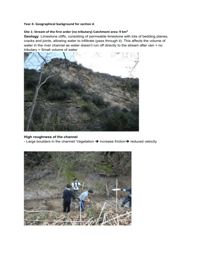
Year 4- Geographical background for section A Site 1: Stream of the first order (no tributary) Catchment area: 9 km² Geology: Limestone cliffs, consisting of permeable limestone with lots of bedding planes, cracks and joints, allowing water to infiltrate (pass through it). This affects the volume of water in the river channel as water doesn’t run off directly to the stream after rain + no tributary = Small volume of water High roughness of the channel - Large boulders in the channel/ Vegetation increase friction reduced velocity Site 2: Stream of the second order (a few tributaries) Catchment area: 77 km² Geology: The banks of the river and the sides of the valley are made of alluvium, which is a material deposited by rivers. This is coarse sediment, gravel and clay that are permeable, affecting the volume of water in the river channel, which decreases rapidly as water infiltrates the surface and goes to the aquifer underground. Human activity Impact of agriculture on the discharge of the river: people abstract water from the river for irrigation, decreasing its discharge. Roughness: Boulders and vegetation friction affects velocity Site 3: Stream of the third order (many tributaries) Catchment area (km²): 84 Geology: River channel made of coarse sediment, gravel and clay, that are permeable, affecting the volume of water in the river channel, which decreases rapidly as water infiltrates the surface and goes to the aquifer underground. Human activity Impact of agriculture on the volume of water in the river channel: people abstract water from the river for irrigation. Before the bridge: Increased roughness due to vegetation (Eutrophication). The channel was widened 6 years ago, increasing friction. After the bridge: Smaller channel than before the bridge, not affected by human impact. Boulders in the river channel. Vegetation on the banks.

