Rock Correlation Lab: Cayuga Lake Basin Geology
advertisement

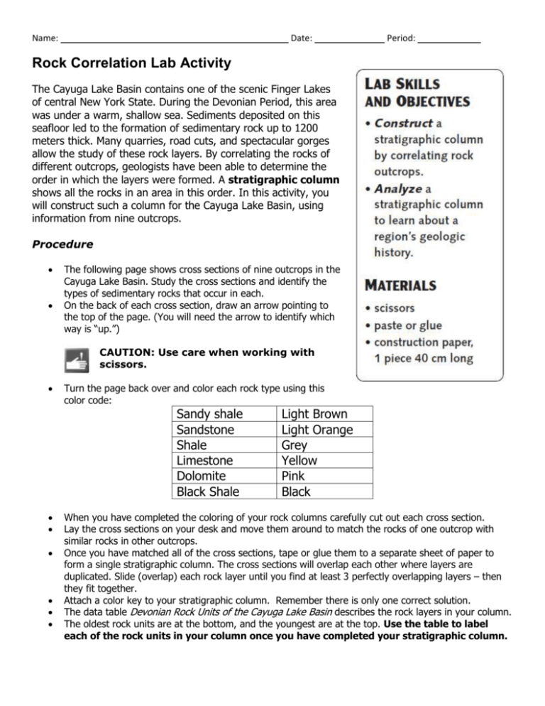
Name: Date: Period: Rock Correlation Lab Activity The Cayuga Lake Basin contains one of the scenic Finger Lakes of central New York State. During the Devonian Period, this area was under a warm, shallow sea. Sediments deposited on this seafloor led to the formation of sedimentary rock up to 1200 meters thick. Many quarries, road cuts, and spectacular gorges allow the study of these rock layers. By correlating the rocks of different outcrops, geologists have been able to determine the order in which the layers were formed. A stratigraphic column shows all the rocks in an area in this order. In this activity, you will construct such a column for the Cayuga Lake Basin, using information from nine outcrops. Procedure The following page shows cross sections of nine outcrops in the Cayuga Lake Basin. Study the cross sections and identify the types of sedimentary rocks that occur in each. On the back of each cross section, draw an arrow pointing to the top of the page. (You will need the arrow to identify which way is “up.”) CAUTION: Use care when working with scissors. Turn the page back over and color each rock type using this color code: Sandy shale Sandstone Shale Limestone Dolomite Black Shale Light Brown Light Orange Grey Yellow Pink Black When you have completed the coloring of your rock columns carefully cut out each cross section. Lay the cross sections on your desk and move them around to match the rocks of one outcrop with similar rocks in other outcrops. Once you have matched all of the cross sections, tape or glue them to a separate sheet of paper to form a single stratigraphic column. The cross sections will overlap each other where layers are duplicated. Slide (overlap) each rock layer until you find at least 3 perfectly overlapping layers – then they fit together. Attach a color key to your stratigraphic column. Remember there is only one correct solution. The data table Devonian Rock Units of the Cayuga Lake Basin describes the rock layers in your column. The oldest rock units are at the bottom, and the youngest are at the top. Use the table to label each of the rock units in your column once you have completed your stratigraphic column. Analysis and Conclusions 1. Which rock units are comprised entirely of limestone? 2. Which rock units are comprised entirely of shale? 3. Which rock units are comprised of shale with limestone at the top? 4. One of the rock units in this stratigraphic column is thought to have originally been beach sand dating from the Middle Devonian. Which rock unit is most likely to have originated as a beach? Why (how would we know)? 5. Which is deposited closest to the shore of a sediment collecting basin: Sandstone, siltstone, or clay? Explain. 6. The Tully limestone is a prominent rock layer of the Cayuga Lake Basin. It stands out as a visible ridge of rock between the Moscow below it and the Geneseo formation above it. What could cause this difference (the ridge formation) in the appearance of the rock layers? 7. The Onondaga contains a few thin layers of volcanic ash. Why is volcanic ash useful for correlating layers of sedimentary rock? (see your text if you don’t remember or can’t figure it out) 8. The Onondaga contains an abundance of coral fossils, along with crinoids, brachiopods, and trilobites. Why are fossils of ferns, rushes, and primitive conifers (pines) unlikely to be found in these rocks? 9. Lime obtained from limestone is an important ingredient in the manufacture of cement. Would the Cayuga Lake Basin be a good or poor location for a cement-making plant? Why?


