GEOLINKS Degree Confluence Project http://www.confluence.org
advertisement
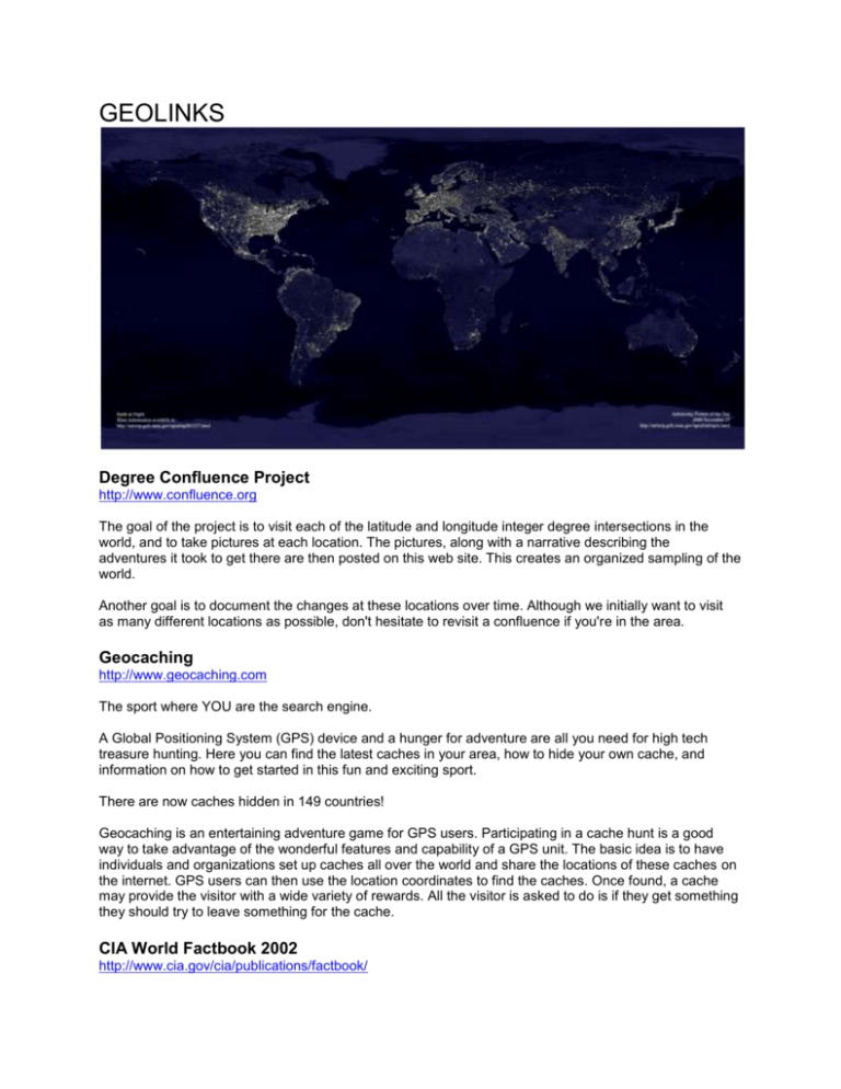
GEOLINKS Degree Confluence Project http://www.confluence.org The goal of the project is to visit each of the latitude and longitude integer degree intersections in the world, and to take pictures at each location. The pictures, along with a narrative describing the adventures it took to get there are then posted on this web site. This creates an organized sampling of the world. Another goal is to document the changes at these locations over time. Although we initially want to visit as many different locations as possible, don't hesitate to revisit a confluence if you're in the area. Geocaching http://www.geocaching.com The sport where YOU are the search engine. A Global Positioning System (GPS) device and a hunger for adventure are all you need for high tech treasure hunting. Here you can find the latest caches in your area, how to hide your own cache, and information on how to get started in this fun and exciting sport. There are now caches hidden in 149 countries! Geocaching is an entertaining adventure game for GPS users. Participating in a cache hunt is a good way to take advantage of the wonderful features and capability of a GPS unit. The basic idea is to have individuals and organizations set up caches all over the world and share the locations of these caches on the internet. GPS users can then use the location coordinates to find the caches. Once found, a cache may provide the visitor with a wide variety of rewards. All the visitor is asked to do is if they get something they should try to leave something for the cache. CIA World Factbook 2002 http://www.cia.gov/cia/publications/factbook/ The World Factbook is published annually by the Central Intelligence Agency (CIA) and provides geographic information on all countries of the world. Earth and Moon Viewer http://www.fourmilab.ch/earthview You can view either a map of the Earth showing the day and night regions at this moment, or view the Earth from the Sun, the Moon, the night side of the Earth, above any location on the planet specified by latitude, longitude and altitude, from a satellite in Earth orbit, or above various cities around the globe. A Collection of Earth Imagery From NASA NASA – Visible Earth: The Blue Marble http://visibleearth.nasa.gov/cgi-bin/viewrecord?11605 NASA – Visible Earth: Earth's City Lights http://visibleearth.nasa.gov/cgi-bin/viewrecord?5826 NASA – Earth Observatory http://earthobservatory.nasa.gov/ Bright Lights, Big City http://earthobservatory.nasa.gov/Study/Lights A three part series on our changing landscapes: Part 1: Bright Lights, Big City Part 2: Reaping What We Sow Part 3: Urbanization's Aftermath Mapping and Geography TopoZone http://www.topozone.com The TopoZone is the Web's center for recreational and professional topographic map users. We've worked with the USGS to create the Web's first interactive topo map of the entire United States. National Atlas of the US http://nationalatlas.gov National Atlas of the United States® promotes greater national geographic awareness. It delivers easy to use, map-like views of America's natural and sociocultural landscapes. The new National Atlas includes products and services designed to stimulate children and adults to visualize and understand complex relationships between environments, places, and people. It contributes to our knowledge of the environmental, resource, demographic, economic, social, political, and historical dimensions of American life. Terraserver http://www.terraserver.com Terraserver.com is the world-wide source of the finest satellite imagery and aerial photography for people of all walks of life. Terraserver.com provides unequaled, current, resource imagery in both black and white and color for students, landowners, homeowners, travelers, vacationers, as well as an array of professional architects, engineers, appraisers, and realtors. for professionals and beginners, terraserver.com Will Absolutely Become "Your Window To The World." MapQuest http://www.mapquest.com MapQuest.com, Inc. provides easy-to-read and print maps, directions and destination information to millions of online, voice and wireless users. Miscellaneous Geographical Resources University of California, Berkeley Geo-Images Project http://WWW-GeoImages.Berkeley.EDU/GeoImages.html The Geo-Images Project attempts to make images (mostly photographs) that are useful in teaching geography more widely available using computers and the internet. 360 Geographics http://www.360geographics.com Welcome to 360Geographics. This website contains hundreds of panoramas from across the United States and Canada. Click on a region and a state or province for a listing of panoramas. World Time Zone Map http://www.worldtimezone.com What time is it? Anywhere… Keeping track of the time in foreign countries is a mouse click away with this world map. About.com - subject: geography http://geography.about.com What you need to know about geography National Geographic Society http:///www.nationalgeographic.com
