D-PHASE: Visualisation of atmospheric model products
advertisement
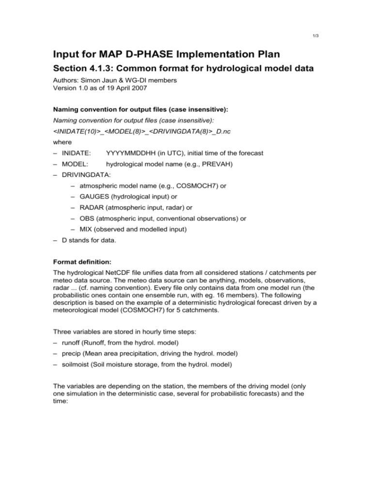
1/3 Input for MAP D-PHASE Implementation Plan Section 4.1.3: Common format for hydrological model data Authors: Simon Jaun & WG-DI members Version 1.0 as of 19 April 2007 Naming convention for output files (case insensitive): Naming convention for output files (case insensitive): <INIDATE(10)>_<MODEL(8)>_<DRIVINGDATA(8)>_D.nc where – INIDATE: YYYYMMDDHH (in UTC), initial time of the forecast – MODEL: hydrological model name (e.g., PREVAH) – DRIVINGDATA: – atmospheric model name (e.g., COSMOCH7) or – GAUGES (hydrological input) or – RADAR (atmospheric input, radar) or – OBS (atmospheric input, conventional observations) or – MIX (observed and modelled input) – D stands for data. Format definition: The hydrological NetCDF file unifies data from all considered stations / catchments per meteo data source. The meteo data source can be anything, models, observations, radar ... (cf. naming convention). Every file only contains data from one model run (the probabilistic ones contain one ensemble run, with eg. 16 members). The following description is based on the example of a deterministic hydrological forecast driven by a meteorological model (COSMOCH7) for 5 catchments. Three variables are stored in hourly time steps: – runoff (Runoff, from the hydrol. model) – precip (Mean area precipitation, driving the hydrol. model) – soilmoist (Soil moisture storage, from the hydrol. model) The variables are depending on the station, the members of the driving model (only one simulation in the deterministic case, several for probabilistic forecasts) and the time: 2/3 dimensions: char_leng = 100 ; (only used as helper-dimension for catchment descriptions) station = 5 ; (number of stations / catchments) simulation = 1 ; deterministic) (number of ensemble members, here only 1 -> time = UNLIMITED ; // (72 currently) (corresponds to the number of time steps your specific simulation has) The variable definitions for time are fairly self-explanatory (“float time”, the units can be adjusted to your needs). The members (member_names) can be additionally weighted (member_weight: -1 for deterministic runs, 1 for unweighted ensembles). The following variables are descriptive attributes for each station / catchment: – Station names – River names – Unique station number – Station coordinates, latitude (WGS84) – Station coordinates, longitude (WGS84) – Station height, above sea level – Catchment area, without upstream catchments – Total catchment area, including upstream catchments – Glaciation of the catchment, without upstream catchments – Total glaciation of the catchment, including upstream catchments – Max. soil moisture storage of the catchment, without upstream catchments – Max. soil moisture storage of the catchment, including upstream catchments Each of the descriptive station attributes generally also has a unit identifier (with exception of the name attributes, cf. to the complete example file definition below). The global attributes of the file finally show some general information, as the involved institutions, the name of the hydrological model, etc. (cf. complete example file definition). To check out the provided NetCDF example file (cross.dkrz.de:/path/to/file.nc), use the following commands: ncdump -c file.nc (shows variables and attributes) ncdump -v runoff file.nc (shows runoff data) ncdump -v station_names file.nc (shows names of considered stations) download: http://www.unidata.ucar.edu/software/netcdf/binaries.html howto: http://badc.nerc.ac.uk/help/formats/netcdf/nc_utilities.html 3/3 Example files: DetHydro: 2007041800_prevah_cosmoch2_d.nc ProbHydro: 2007041800_prevah_cleps_d.nc
