Preliminary Plat Storm water and Erosion Control Checklist
advertisement
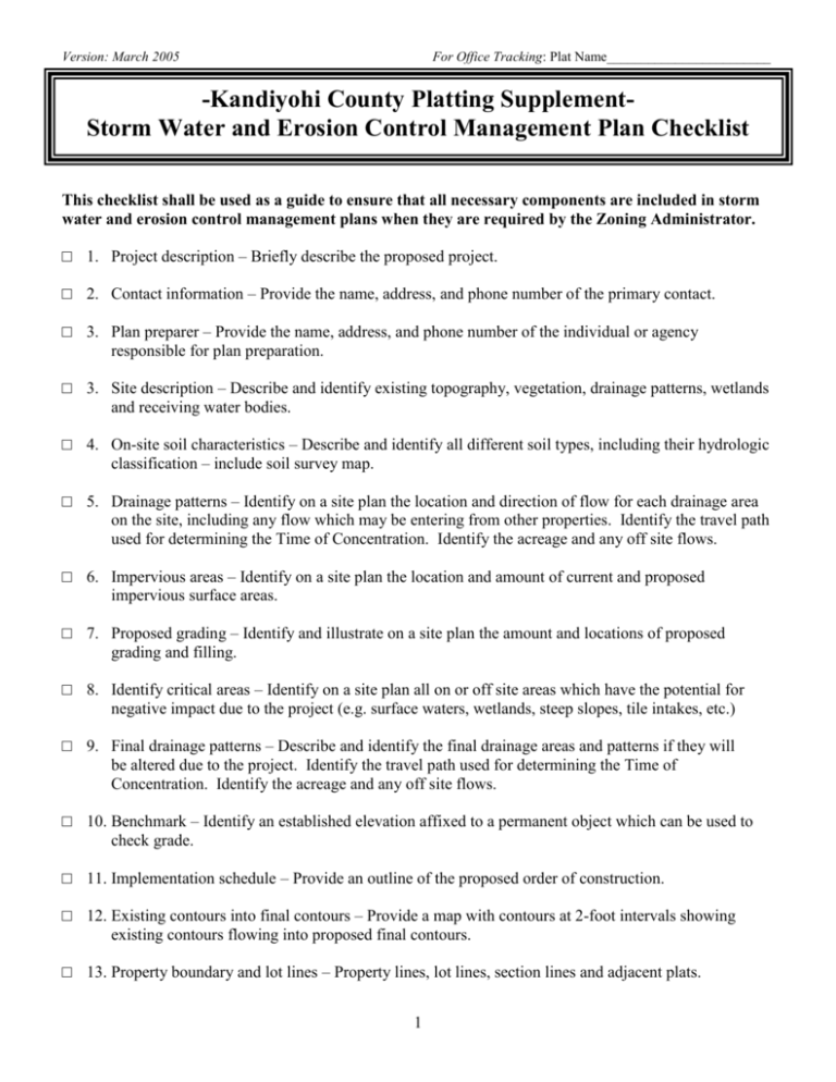
Version: March 2005 For Office Tracking: Plat Name________________________ -Kandiyohi County Platting SupplementStorm Water and Erosion Control Management Plan Checklist This checklist shall be used as a guide to ensure that all necessary components are included in storm water and erosion control management plans when they are required by the Zoning Administrator. □ 1. Project description – Briefly describe the proposed project. □ 2. Contact information – Provide the name, address, and phone number of the primary contact. □ 3. Plan preparer – Provide the name, address, and phone number of the individual or agency responsible for plan preparation. □ 3. Site description – Describe and identify existing topography, vegetation, drainage patterns, wetlands and receiving water bodies. □ 4. On-site soil characteristics – Describe and identify all different soil types, including their hydrologic classification – include soil survey map. □ 5. Drainage patterns – Identify on a site plan the location and direction of flow for each drainage area on the site, including any flow which may be entering from other properties. Identify the travel path used for determining the Time of Concentration. Identify the acreage and any off site flows. □ 6. Impervious areas – Identify on a site plan the location and amount of current and proposed impervious surface areas. □ 7. Proposed grading – Identify and illustrate on a site plan the amount and locations of proposed grading and filling. □ 8. Identify critical areas – Identify on a site plan all on or off site areas which have the potential for negative impact due to the project (e.g. surface waters, wetlands, steep slopes, tile intakes, etc.) □ 9. Final drainage patterns – Describe and identify the final drainage areas and patterns if they will be altered due to the project. Identify the travel path used for determining the Time of Concentration. Identify the acreage and any off site flows. □ 10. Benchmark – Identify an established elevation affixed to a permanent object which can be used to check grade. □ 11. Implementation schedule – Provide an outline of the proposed order of construction. □ 12. Existing contours into final contours – Provide a map with contours at 2-foot intervals showing existing contours flowing into proposed final contours. □ 13. Property boundary and lot lines – Property lines, lot lines, section lines and adjacent plats. 1 □ 14. Elevation and grade – Street and ditch grades, pipe inverts and wetland, stream or lake OHWL. □ 15. Limits of disturbed areas – Areas which must be disturbed to accommodate the proposed development. □ 16. Critical erosion areas – Identify areas with potentially serious erosion problems. □ 17. Adjacent areas – Describe neighboring areas which may be affected by land disturbance. □ 18. Location of BMPs – Illustrate the location of proposed erosion and sediment control practices. □ 19. Utility – Show locations of storm, sanitary, and water lines in the area of proposed development. □ 20. Sediment pond – Temporary pond used to collect sediment during construction. □ 21. Detention pond – Pond use to control the rate of runoff to match existing runoff conditions. □ 22. Temporary erosion control plan – Indicate how erosion on site will be temporarily controlled until permanent erosion control can be implemented (diversions, dams, seeding, mulching, erosion control blankets, etc.). □ 23. Permanent erosion control plan – Indicate how the site will be permanently stabilized from erosion (seeding rate, mulching rates, sodding, etc.). □ 24. Drainage calculations – Comparison of existing and proposed site pervious and impervious acreages, Cn factors, and estimated runoff for 10 yr, and 100yr rainfall events based on SCS TR 55 methods for each drainage area. Reports preferred in HydroCAD. □ 25. Pond calculations – Estimated inflow and outflow, permanent and temporary storage volumes, outlet design and elevation, downstream stabilization, and emergency spillway. □ 26. Storm water conveyance systems – Identify on a survey where conveyance systems will be located. Include clearly marked dimensions, cross sections, and outlet elevations. □ 27. Erosion control maintenance plan – Describe the maintenance efforts which will be use to maintain the erosion and sediment control practices and structures. □ 28. Storm water control structure maintenance plan – Describe how the necessary storm water control control or management structures will be maintained over time. Include specifics about who will be responsible for maintenance. 2


