Wafforn_GSA 2014_Mount Polley
advertisement
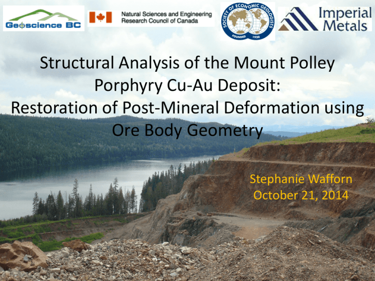
Structural Analysis of the Mount Polley Porphyry Cu-Au Deposit: Restoration of Post-Mineral Deformation using Ore Body Geometry Stephanie Wafforn October 21, 2014 Mount Polley Deposit • Located in the accreted island arc Quesnel Terrane in the Canadian Cordillera • Silica-undersaturated alkalic porphyry Cu-Au deposit • Breccia hosted, multiple ore zones Tosdal et al., 2008 Geology of the Nicola Group • 5.0 – 6.5 km sequence of Carian-Norian submarine alkali basalts and limestone lenses • Open syncline plunging NW 30° • Thrust faults Modified from Geoscience BC Map 2007-1 Mount Polley Geology Mount Polley Geology Motivation: Understand the nature of postmineral deformation at Mount Polley by integrating new field mapping and the use of ore body geometry as a strain marker to resolve the relative sequence of faulting, folding, and tilting. Methods • Bench mapping and float mapping • Constructed cross sections using drill core data to evaluate ore body geometry • 3 new apatite fission track ages Age Relationships • Unconformity overlying the Northeast Zone • Quartz latite ignimbrite interbedded with the conglomerate dated at 196.7 ± 1.3 Ma (Logan et al. 2007) Age Relationships Cont. Central Zone • Reverse faults are older than strike-slip faults • Augite porphyry dikes are youngest dikes Northeast Zone • Augite porphyry dikes are cut by normal faults Faulting Polley Fault • Reverse Fault • Minimum 500m dip slip separation East Cariboo Fault • Parallel to the Polley Fault • Unknown magnitude of slip Faulting North Springer Fault • 230°/80° NW • slickenlines trend and plunge 235°→5° • Sinistral displacement of 180 m ± 20 m Faulting Green Giant Fault • <1 m wide fault zone containing pink and green fault gouge • Albite + actinolite alteration found at surface in Leak Zone (1100m) and at depth in Wight Pit (650m - 400m) • Dip-slip separation - 450 m to 700 m Jackson (2008) Folding and Tilting Folding • Regional open syncline plunging to the NW • Folding occurred following deposition of the conglomerates and augite porphyry dikes Tilting • Conglomerate beds are tilted 30-35° NW • Timing of the tilting is unknown – Maybe related to reverse faulting and folding or to normal faulting? Apatite Fission Track Ages • Indicates slow cooling during the Paleocene to Eocene • Short fission tracks indicative of time spent in the partial annealing zone Sample Location Easting Northing Elevation (m) FT Age (Ma±1σ) Mean Track Length (µm±1σ) WB-07-240 Quarry Zone 592240 5826217 900 65.8 +12.1 -10.2 13.16 ± 1.83 WB-05-212 Wight Pit 592448 5825389 900 59.1 +11.23 -9.45 13.44 ± 2.09 SE-09-81 Southeast Zone 593489 582113 900 45.9 +40.3 -21.5 14.38 ± 1.49 Central Zone Restoration Northeast Zone Restoration Summary of Structural Events Regional Implications • Emergence of the island arc offshore of the North American continent • Accretion in the Middle Jurassic • Relatively non-deforming in the hinterland of the orogenic fold and thrust belt • Extension and exhumation in the Paleocene to Eocene
