Connecticut River Gateway Commission
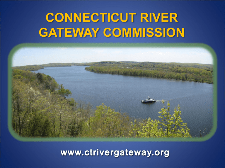
CONNECTICUT RIVER
GATEWAY COMMISSION
HR 145
FEDERAL NATIONAL RECREATION AREA
January, 1971
“Acute” need in NE for recreation opportunities
U.S . Dept. of Interior/ National Park Service
CT River National Recreation Area
Three “Units”:
Coos Unit (NH and VT)
Mount Holyoke Unit (Mass)
Gateway Unit (Haddam to I-95)
Preservation of scenic character , town charm , and provision for
“controlled public use”
• Gateway Unit “Conservation Zone”
• “Minimum standards”, established by
U. S. Secretary of Interior , must be included in local Zoning Regulations
• States “encouraged” to transfer state-owned land to the Federal government
• Federal Government may acquire up to 5,000 acres privately owned lands “without owner’s
consent” to meet purpose of the Act
REACTION TO THE
CONNECTICUT RIVER NATIONAL
RECREATION PARK PROPOSAL
• Residents in NH, VT, MA and CT each objected to Federal plan
• Cannot open lower valley area to a National Park without destroying the “priceless, natural beauty” to which Senators
Ribicoff and Kennedy refer
• Quiet river communities cannot handle the challenges that
hordes of park visitors would “throw upon us”
LOCAL REACTION:
Formation of the Gateway Advisory Committee
• To review and comment upon Federal proposals
• Committee pressed for two main elements:
• Preservation of resources and present “way of life”
• Strong LOCAL voice in determining boundaries, standards and policies for park
• Committee finally rejected Federal plan and prepared an alternative plan:
• State legislation sponsored by Senator Peter Cashman proposed:
Public Act No. 74-103
An Act Concerning the Connecticut River Gateway Zone
Predecessor GATEWAY COMMITTEE and the GATEWAY COMMISSION
• Old Saybrook, Old Lyme, Lyme, Essex, Deep River, Chester, Haddam and
East Haddam
• 21 members
• Uniform zoning standards to be adopted into local town Zoning Regulations
• Gateway Conservation Zone
• Recommendation for areas where the DEP should purchase easements and development rights
• Gateway Committee would become the Gateway COMMISSION if:
5 of 8 member towns vote at town meeting to join the conservation compact.
All 8 towns voted at individual Town Meetings to join .
• July 23, 1974: First Meeting of the Connecticut River Gateway Commission
LEGISLATIVE FINDING
“...the lower Connecticut River and the towns abutting the river possess unique scenic , ecological , scientific and historic value contributing to public enjoyment, inspiration and scientific study, that it is in the public interest ........ to preserve such values and to prevent deterioration of the natural and traditional riverway scene for the enjoyment of present and future generations of
Connecticut citizens ....”
Section 25-102a CGS
GATEWAY MISSION
“...to preserve the aesthetic and ecological natural beauty of the lower
Connecticut
River valley for present and future generations....”
“NATURAL and TRADITIONAL”
The “ natural and traditional riverway scene ”, as historically interpreted by the GW Commission, is that which existed at the time passing of the enabling legislation in 1973. At that time, large homes carved into the treed hillsides were largely absent.
GATEWAY TOOLS
o Land Acquisition o Minimum Zoning Standard o Regulatory “Veto” Power o Variance Review Authority o Special Exception Reviews for
Structures in excess of 4,000 Square Feet
Tool #1:
LAND ACQUISITION
• Connecticut River Gateway Conservation Fund o Lawsuit over visually obtrusive Northeast Utilities power line towers,
East Haddam to Haddam o GW chosen in 1982 to receive a $1,000,000 settlement to be used for
“conservation and preservation projects” o Fund used for land acquisition and other conservation-related purposes
• Since 1973 : o Over $1,000,000 spent in partnership with other conservation groups
(TNC, DEP, local land trusts and conservation commissions) o Over 1,000 acres preserved o Preservation in the form of conservation easements, acquisition of development rights and, to a limited extent, in simple fee o GW is the “middle man”; GW acquires and then transfers to the State of CT
Tool #2:
MINIMUM ZONING STANDARDS
Regulate uses of property consistent with the GW mission
Promote protection and development consistent with GW mission according to: o Uses o Frontage o Building coverage o Setbacks from the river and associated wetlands o Design and building height maximums o Tree cutting
GW Standards last revised and adopted in 2004
Tool #3:
“VETO” POWER
" No adoption, amendment or repeal of a local zoning, subdivision or planning regulation with respect to property within the conservation zone within [a member] town shall be effective which has not received the approval of the Connecticut River Gateway
Commission .”
Tool #4:
VARIANCE REVIEW AUTHORITY
VARIANCES of local regulations for properties in
Conservation Zone must be referred to the GW
Commission for comment
GW Commission will oppose , not oppose or not oppose if certain conditions are applied
GW Commission has automatic legal standing in any case where variances of GW standards are involved
Tool #5:
SPECIAL EXCEPTION REVIEWS for Structures > 4,000 SF
Goal : To minimize the visual “bulk” of development as viewed from the river and to minimize tree removal
Zoning Commission conducts Special Exception
Review using Gateway Standards
GW Provides: Courtesy review by Staff with report of findings submitted to P&Z at Gateway’s cost
CHALLENGES LEADING TO THE
NECESSITY FOR NEW STANDARDS
o Site platforming and height measurement from
“existing natural grade” o Clear cutting and removal of visually-buffering trees and other vegetation o Riparian buffers and protection of water quality
Site
Platforming
..... vs. height measured from
“ existing natural grade ”
MINIMIZING VISUAL INTRUSION
.. and use of
“Timber harvesting”, e.g. commercial tree cutting
Residential tree removal
Cases of “clear cutting” for view enhancement
TREE
CUTTING
VISUAL BUFFERING OF TREES
In any review of development performed by the Gateway
Commission or their staff, recommendations are often made regarding the retention of “ visually buffering ” trees, the planting of new visually
“softening” vegetation, and enhancement of existing riparian buffers.
RIPARIAN BUFFERS
Erosion Prevention Stormwater Infiltration
Wildlife Habitat
50 ft RIPARIAN BUFFER and
100 ft STRUCTURE SETBACK
CONNECTICUT RIVER GATEWAY COMMISSION
40 years of partnership with member towns in the protection of the “natural and traditional riverway scene” of the lower Connecticut River.....
www.ctrivergateway.org

