Flood Modeling Software Review: Belgium, Netherlands, UK
advertisement
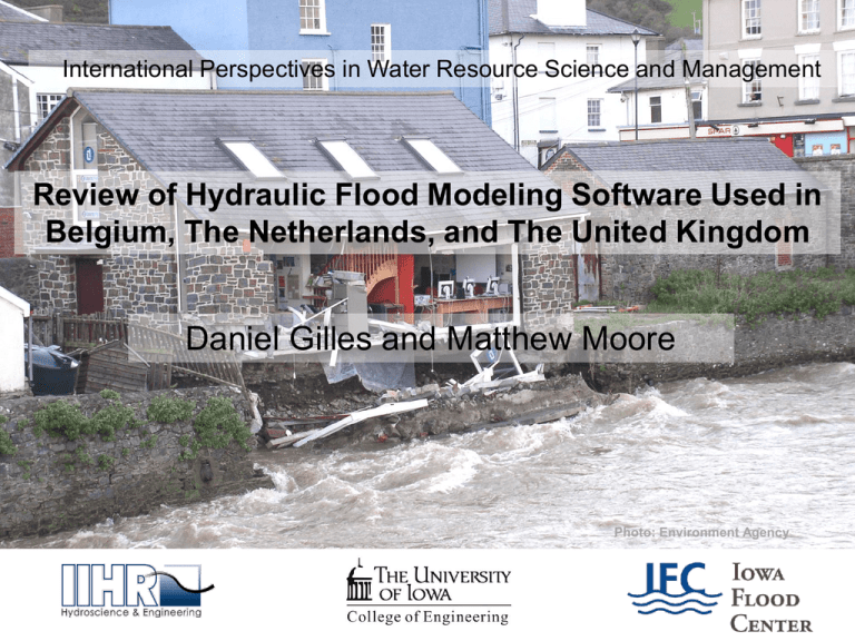
International Perspectives in Water Resource Science and Management Review of Hydraulic Flood Modeling Software Used in Belgium, The Netherlands, and The United Kingdom Daniel Gilles and Matthew Moore Photo: Environment Agency Belgium: Flanders Hydraulics Research • Division of Public Works of the Flemish Government • Manages waterways, maintains sensor network and operates countrywide Flood Forecasting System • Utilizes the MIKE FLOOD WATCH software to release real-time flood forecasting and warning • River stages are modeled using MIKE 11 and Coupled 1D/2D MIKE Flood Models, status exported to ArcGIS Interface The Netherlands: Deltares • Dutch –based research institute • Developer of many software packages: Delft3D, SOBEK, RIBASIM, Delft-FEWS… • Delft-FEWS is meant to act as a shell to manage external data and exchange data between models • Currently compatible with HEC-RAS, ISIS, MIKE 11, SOBEK… • Can be used in stand alone environment, or as a J2EE (JAVA 2) compliant client-server application • Developed Environment Agency (UK) National Flood Forecasting System using Delft-FEWS United Kingdom: Environment Agency • Executive Non-departmental Public Body responsible to the Secretary of State for Environment • Maintain sensor network (750 rain gauges, 1500 river level/flow sensors, 100 coastal gauges) (Iowa has ~156) • Operate the National Flood Forecasting System (NFFS) developed from Delft-FEWS, cost to develop system and new models ~ ($2M) United Kingdom: Environment Agency • Variety of Modeling and Techniques for forecasting floods • Upstream/downstream river level correlation • Rainfall to river level correlation (not accurate, used for farthest upstream gauges) • Rainfall-runoff modeling • Routing modeling • 1D Hydrodynamic modeling (ISIS or Mike 11) Conclusions • Forecast Centres rely on simple hydraulic models , 1D models being the most detailed used in Real-Time Forecasting • Inundation mapping products are not available online, warnings are based entirely on river stage at gauge locations • Development of a wrapper for the various models is a challenge, but may be changing with OpenMI compatible software

