figures for this chapter (powerpoint)
advertisement
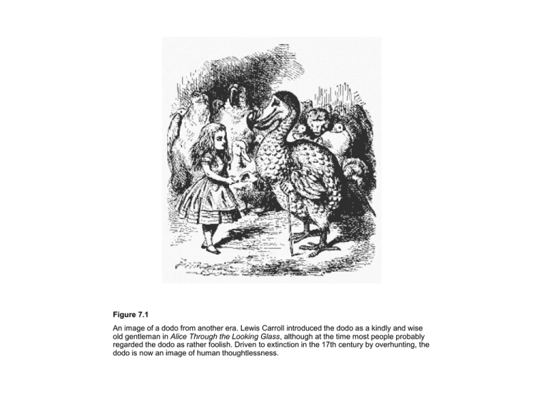
Figure 7.1 An image of a dodo from another era. Lewis Carroll introduced the dodo as a kindly and wise old gentleman in Alice Through the Looking Glass, although at the time most people probably regarded the dodo as rather foolish. Driven to extinction in the 17th century by overhunting, the dodo is now an image of human thoughtlessness. Figure 7.2 Mass extinctions through the past 600 myr include the enormous end-Permian event 251 Ma, which killed two or three times as many families, genera and species (50% of families and up to 96% of species) as the “intermediate” events. These were global in extent, and involved losses of 20% of families and 75–85% of species. Some of the minor mass extinctions were perhaps global in extent, causing losses of 10% of families and up to 50% of species, but many may have been regional in extent, or limited taxonomically or ecologically. Figure 7.3 (a) The classic collector curve showing the sigmoid (or logistic) shape of the curve of cumulative new species plotted against effort (number of specimens collected/number of days spent looking/number of investigators), with a rapid rise and then a tailing off to an asymptote. (b) Rarefaction curve that shows the number of species likely to be identified from samples of a particular size. (b, based on Hammer & Harper 2005.) Figure 7.4 Patterns of extinction of foraminifera in a classic KT section spanning about 1.5 myr. A species loss of 53% occurred in two steps close to the KT boundary and iridium anomaly. Dating is based on magnetostratigraphy, and the KT boundary falls in the C29R (reversed) zone. Planktonic zones (P0, P1a, P1b) are indicated; sediment types are mudstones (darker grey) and limestones (pale grey); meter scale bar shows height above and below a particular extinction level, 0. (Based on Keller et al. 1993.) Figure 7.5 Gaps and missing data can make gradual extinction events seem sudden (a) or sudden events seem gradual (b). In both diagrams the vertical lines represent different species. (a) The real pattern of fossil species distribution is shown on the left, and if there is a large or small hiatus, or gap, at the KT boundary (middle diagram), a gradual loss of species might seem artificially sudden (right-hand diagram). (b) It is likely that the very last fossils of a species will not be found, and a sudden extinction might look gradual; this can only be detected by intense additional collecting in the rocks that include the supposed last fossils (shaded gray). Figure 7.6 Periodic extinctions of marine animal families over the past 250 myr. The extinction rate is plotted as percent extinction per million years. A periodic signal may be detected in a time series like this either by eye, or preferably by the use of time series analysis. There are a variety of mathematical techniques generally termed spectral analysis for decomposing a time series into underlying repeated signals. The techniques are outlined in chapter 7 of Hammer and Harper (2006), and a practical example that repeats the classic Raup and Sepkoski (1984) analysis is given at http://www.blackwellpublishing.com/paleobiology/. (Based on the analysis by Raup & Sepkoski 1984.) Figure 7.7 The end-Permian mass extinction in China. (a) The pattern of extinction of 333 species of marine animals through 90 m of sediments spanning the PT boundary in the Meishan section, showing radiometric ages and carbon isotopes. Three extinction levels, A, B and C are identified. Vertical lines are recorded stratigraphic ranges of marine species in the sections. (b, c) Block diagrams showing typical species in China at the very end of the Permian (b), and immediately after the crisis (c). (a, based on Jin et al. 2000; b, c, drafted by John Sibbick.) Figure 7.8 The possible chain of events following the eruption of the Siberian Traps, 251 Ma. Volcanism pumps carbon dioxide (CO2) into the atmosphere and this causes global warming. Global warming leads to reduced circulation and reduced upwelling in the oceans, which produces anoxia, productivity decline and extinction in the sea. Gas hydrates may have released methane (CH4) which produced further global warming in a “runaway greenhouse” scenario (shaded gray). (Courtesy of Paul Wignall.) Figure 7.9 The iridium (Ir) spike and fern spike, as recorded in continental sediments in York Canyon, New Mexico. The Ir spike, measured in parts per trillion (ppt), an enhancement of 10,000 times normal background levels, is generally interpreted as evidence for a massive extraterrestrial impact. The fern spike indicates sudden loss of the angiosperm flora, and replacement by ferns. (Based on Orth et al. 1981.) Figure 7.10 The KT impact site identified. Location of the Chicxulub Crater on the Yucatán peninsula, Central America, and sites of tempestite deposits around the coastline of the proto-Caribbean (open circles). Continental KT deposits are indicated by triangles. Figure 7.11 Evidence for a KT impact in the Caribbean. (a) Shocked quartz from a KT boundary clay. (b) A glassy spherule from the KT boundary section at Mimbral, northeast Mexico, evidence of fallout of volcanic melts from the Chicxulub Crater (about 1.5 mm in diameter). (Courtesy of Philippe Claeys.) Figure 7.12 Disaster taxa after the end-Permian mass extinction: the brachiopod Lingula (a), and the bivalves Claraia (b), Eumorphotis (c), Unionites (d) and Promyalina (e). These were some of the few species to survive the end-Permian crisis, and they dominated the black anoxic seabed mudstones for many thousands of years after the event. Figure 7.13 The rate of historic extinctions of species for which information exists, counted in 50-year bins. Note the rapid rise in numbers of extinctions in the period 1900–1950; the apparent drop in the period 1950–2000 is artificial because complete counts have not been made for that 50-year period yet.


