trodd_multifaceted_remote_sensin
advertisement
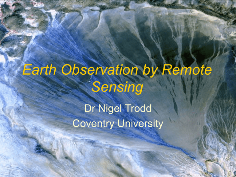
Earth Observation by Remote Sensing Dr Nigel Trodd Coventry University Aim… to understand the role of remote sensing in Earth observation & objectives… by identifying & exemplifying characteristics of remote sensing evaluating strengths & weaknesses using case studies of applied remote sensing What is remote sensing? …the acquisition of physical data of an object without touch or contact (Lintz & Simonett 1976) What is Earth observation by remote sensing? …the science and technology to derive information about the Earth’s land, sea, ice & atmosphere using electromagnetic radiation reflected or emitted from an object or phenomena Earth observation by remote sensing Unique selling point: 1 Area of coverage Unique selling point: 2 Area of coverage Repetition of measurement Unique selling point: 3 Area of coverage Repetition of measurement Imaging the inaccessible Unique selling point: 4 Area of coverage Repetition of measurement Imaging the inaccessible Viewing the invisible Unique selling point: 5 3D Unique selling point: 5 Area of coverage Repetition of measurement Imaging the inaccessible Viewing the invisible Digitalselling point: Unique Digital 6 Where in the world? Same country, which city? Remote sensing: a unique perspective Area of coverage Repetition of measurement Imaging the inaccessible Viewing the invisible 3D Digital multiscale multitemporal multi… multispectral multidimensional multipurpose Case study: Yangtze delta ENVISAT MERIS 2005 Case study: Yangtze delta Natural fluctuations Landsat MSS 1979 Landsat TM 1993 Agricultural expansion Industrial development Case study: Mozambique Inundation of coastal floodplain 99/00 and 00/01 associated with ENSO events SRTM DEM Mozambique Validating theories of biogeomorphology Case study: Grand Canyon Conclusion Earth observation by remote sensing is a multifaceted technique Case studies demonstrate that remote sensing is an attractive tool to characterise terrain and quantify geomorphic processes & landscape dynamics


