AFATDS Inst Rehearsal
advertisement
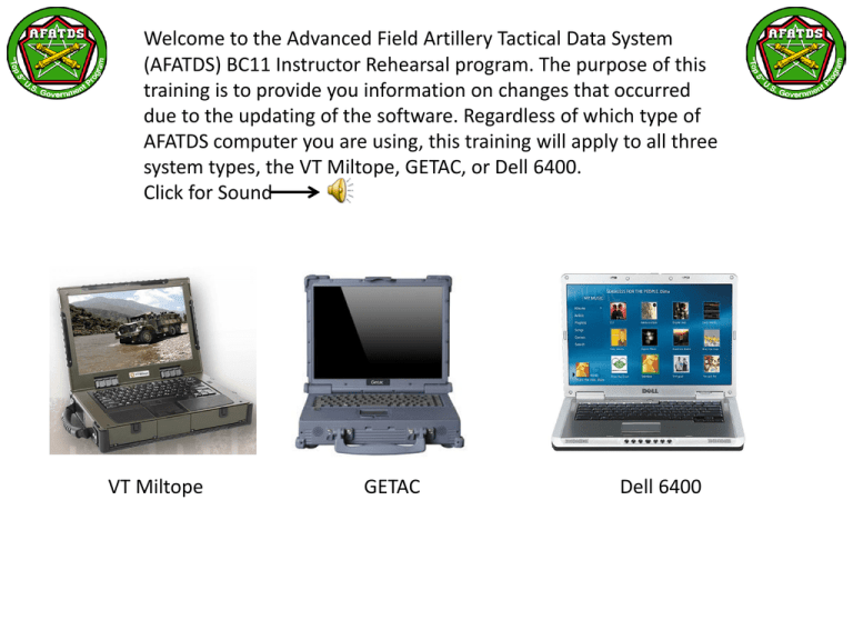
Welcome to the Advanced Field Artillery Tactical Data System (AFATDS) BC11 Instructor Rehearsal program. The purpose of this training is to provide you information on changes that occurred due to the updating of the software. Regardless of which type of AFATDS computer you are using, this training will apply to all three system types, the VT Miltope, GETAC, or Dell 6400. Click for Sound VT Miltope GETAC Dell 6400 INTRODUCTION TO AFATDS REHEARSAL PROGRAM The first step in this training is to view the changes that occurred to the Unit Workspace due to software changes. We will go over each area and discuss those changes that will affect the current training used in the AFATDS Operator Course. We will discuss those areas in the Unit Workspace that were changed and how it will affect how you teach the AFATDS Operator Course. Let me introduce you to my assistant, EARL. He will help guide you through this training. START AFATDS Before we begin this training, start the AFATDS software program. When the system map appears on the AFATDS, display the Current map tab. When the Current map is displayed, open the Unit Workspace and scroll down to GN1 1A 3-82FA 2BCT 1CD and open the “tree” to display all the primary areas, Basic, General, Detail, Description, and Ammunition. The first area that had major changes is the Unit Workspace. There are a number of changes that occurred by adding a new area called Description and changes on how we enter ammunition data for each weapon system. Using the database that we provided to you, open the Unit Workspace and edit GN1 1A 3-82FA 2BCT 1CD. Click for Sound Click for Exam We will examine the different windows associated with units. We will discuss the changes using GN1 1A 3-82FA 2BCT 1CD. In this window the only change is how the altitude is displayed using HAE Altitude and a Vertical Datum of Click for Exam MSL EGM96. Click for Sound Mean Sea Level (MSL), which was once assumed to be a fairly uniform value across the Earth’s surface, turns out to vary considerably from region to region. AFATDS now includes what modern GPS receivers have been using to measure elevation data in relation to Height Above Ellipsoid (HAE). Click for Sound Click for Exam Mean Sea Level (MSL) Height Above Ellipsoid (HAE). The Description area is new to AFATDS Vista, it displays the status of four (4) different areas for the unit displayed. The window displays comprehensive summary or roll up information for the 4 separate categories by unit. The color-coded table cells provide a quick cue to the main unit's overall status and each subordinate unit's status. The below window is displaying Ammo Summary status. Click for Sound Click for Exam The Description area is new to AFATDS Vista, it displays the status for four (4) different areas for the unit displayed. The below window is displaying POL Summary. Click for sound Click for Exam The Description area is new to AFATDS Vista, it displays the status for four (4) different areas for the unit displayed. The below window is displaying Equipment Summary. Click for sound Click for Exam The Description area is new to AFATDS Vista, it displays the status for four (4) different areas for the unit displayed. The below window is displaying Weapon Summary. Click for sound Click for Exam Unit Inventory under Ammunition will allow the operator to input and display ALL Munitions on Hand, all stored ammunition in Ammunition Supply Points (ASP) Munitions stored on the Ground or on vehicles (Wheels), and re-supply requests and how much ammunition is authorized. Click for sound Click for Exam Review 1. Unit Workspace has changed with new software. 2. Description and Ammunition windows have changed 3. Altitude display has changed 4. Information on other changes will be included in additional modules. Module One Assessment What is the biggest change in the Unit Workspace caused by the software Change to BC11? 1. 2. 3. 4. Communications Description Geometry Maps What is the addition for altitude display in AFATDS using BC11 software? 1. 2. 3. 4. Mean Sea Level altitude Height Above Ellipsoid altitude Using WGS84 Datum Using North America 1927 Datum the assessment, Next altitude in AFATDS? aWhen Whatfinished was thewith primary change forselect displaying That’s Correct! Click to return to the Assessment or select the “forward” button Conclusion This slide show presented changes that have occurred to the Unit Workspace in AFATDS. The additional modules in this Instructor Trainer Course will provide information on other areas that the new software has changed and will require actions on your part to make changes to the AFATDS Program of Instruction. Questions or Recommendations can be addressed to: Ronald.wilcox@us.army,mil Click HERE to exit this module.
