What`s it all about? - an introductory tutorial (MS power point)
advertisement
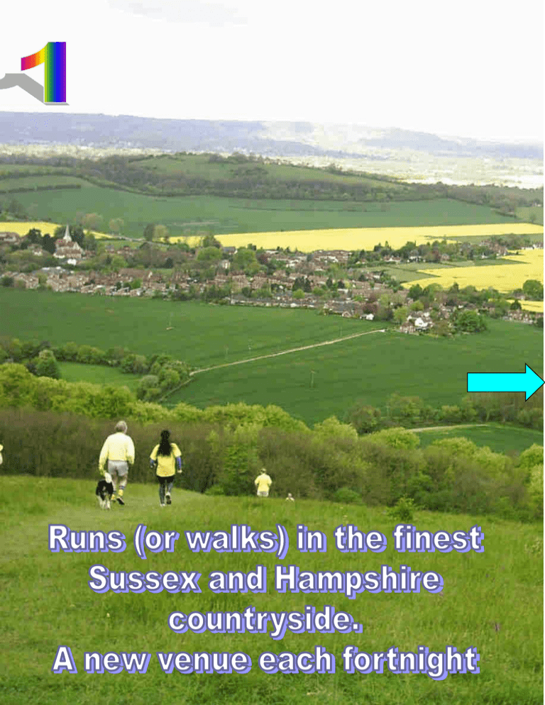
Half way round we usually stop so everyone can catch up and we have our photo taken. The next slide shows a typical track for a hound that has recorded his track using GPS. The above photo was taken near Slinden Woods one of hundreds of venues we have visited over the years - see the following slide for a Google map of them. If you look closely at this GPS track you can see where this runner has gone up some false trails. This course was about 6km from check to check however if you run up the false trails one can run typically run much further. We are very lucky living in such a wonderful area for recreation. These locations on a Google Earth show where we have laid Hash trails. We are indebted to those who started the Chichester Hash back in 1988: Phil Spooner & Sue Spooner, Roger & Miriam Freeman, Robin Low and othes. To find out more and when and where the next run is visit: www.chihhh.org.uk
