NEMO Presentation Oct 12 2014
advertisement
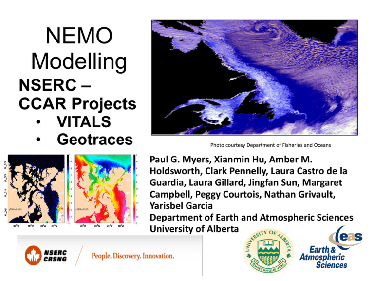
NEMO Modelling NSERC – CCAR Projects • • VITALS Geotraces Photo courtesy Department of Fisheries and Oceans Paul G. Myers, Xianmin Hu, Amber M. Holdsworth, Clark Pennelly, Laura Castro de la Guardia, Laura Gillard, Jingfan Sun, Margaret Campbell, Peggy Courtois, Nathan Grivault, Yarisbel Garcia Department of Earth and Atmospheric Sciences University of Alberta Model Configuration ANHA12 Model : NEMO 3.4 LIM2 + EVP Resolution : 1/12 degree Mesh : 1632 x 2400 50 levels LS : ~ 5 km CAA : ~ 4 km km ANHA: Arctic and Northern Hemisphere Atlantic Experiment Setup Initialization: 3D T, S, U and V (GLORYS1v1, Sea Ice Jan02) Atmospheric forcing (CGRF, hourly): T2, Q2, U10, V10 Precipitation Radiation (SW & LW) Snow: CORE2 (IA) Runoff: Dai and Trenberth climatology OBC: U, V, T and S (GLORYS1v1) NO temperature & salinity restoring Jan 2002 – 2008 -- > 2010 CGRF: CMC GDPS reforecasts GDPS: Global Deterministic Prediction System CMC: Canadian Meteorological Centre GLORYS: GLobal Ocean ReanalYses and Simulations Labrador Sea in ANHA12 Sea Ice Concentr ation Sea Ice Thickness Mixed Layer Depth Velocity magnitude averaged over top 55 m Also: animations (2003-2008) at http://knossos.eas.ualberta.ca/myers/NEMO.html CAA in ANHA12 Sea Ice Concentration Sea Ice Thickness Also: animations (2003-2008) at http://knossos.eas.ualberta.ca/myers/NEMO.html West Lancaster Sound Fluxes GLORYS 2v3 vs GLORYS1v1 (volume flux through Bering Strait and Lancaster Sound) NEMO Updates Compute snow fall from total precipitation based on 2-m air temperature Fixed a discontinuity “line” in wind stress field Update runoff with a new interpolation approach CICE with NEMO3.4 (workable but not tested for long simulation) NEMO Updates compute snow fall from total precipitation based on 2-m air temperature fixed a discontinuity “line” in wind stress field update runoff with a new interpolation approach CICE with NEMO3.4 (workable but not tested for long simulation) RUNOFF Update Dai and Trenberth 1o x 1o gridded data Distribute gridded runoff into “coast-buffer-zones” volume conserved salinity changes in top 50m MLD changes Planned RUNs solid line: finished runs dash/dotted: planned simulation/re-run with updated data orange text: finished or expected finish time time schedule for simulation with CGRF after 2010 is still not known Sea Ice Model Comparison Select Ice Thickness Validation Accumulated Winter Thermodynamic & Dynamic Ice Thickness Change unit: m AGRIF: Adaptive Grid Refinement In Fortran1 ANHA4: ¼° resolution (parent) A X:724 AGRIF 1/12° Y:874 Y:290 X:240 AGRIF 1/12° Y:544 Y:180 0.25 0.20 0.15 0.10 0.05 0.00 X:814 X:270 Ice velocity [m/s] Transformation (1:3 Horiz. ratio) 1/12° AGRIF Grid Boxes Ice Thickness [m] AGRIF 1/12° Control Grid Box 1/4° 1/4° •High resolution nest: better resolving skill •Simulation runs alongside parent •AGRIF forced by separate set of data •AGRIF boundaries supplied by parent •Computational expense: 2-4 X B 5 4 3 2 1 0 1Debreu, Laurent, Christophe Vouland, and Eric Blayo. "AGRIF: Adaptive grid refinement in Fortran." Computers & Geosciences 34.1 (2008): 8-13. 4/7/2015 Effect of enhanced melt from Greenland Ice sheet? Warming of our climate is melting Greenland glaciers Sea level rise 17 Greenland ice sheet mass loss trend 20032008 Deep convection in the Labrador Sea (237km3/yr) Increase freshwater input in Baffin Bay Experiments 1 to 9: Exp. 1 Control run Hydrography? Circulation? Exchanges? Feedbacks? Exp. 2- 9 enhance melt from west Greenland, between 158- 1580 km3/yr Fury and Hecla Strait Freshwater Pathways into the North Atlantic from the Canadian Arctic Archipelago and the Greenland Ice Sheet ANHA 1/12⁰ Configuration • Understand pathways of freshwater into the North Atlantic Ocean • Fluxes through Fury and Hecla Strait • Relative role compared to other gateways through the Canadian Arctic Archipelago. • Pathways for the freshwater discharged from major tidewater glaciers around Greenland • Function of time and glacier location • Pathways of Irminger Water to coastal Greenland Holloway and Proshutinsky 2007 All questions will be examined by using output from a suite of ocean general circulation models (NEMO) at 1/4 ⁰ and 1/12⁰, as well as Lagrangian particle tracking tool for trajectory analysis Probabilities from forward trajectories, run at 1/4 ⁰ resolution, initiated at Helheim Glacier Laura C. Gillard and Paul G. Myers Department of Earth and Atmospheric Sciences University of Alberta
