Presentation 2
advertisement
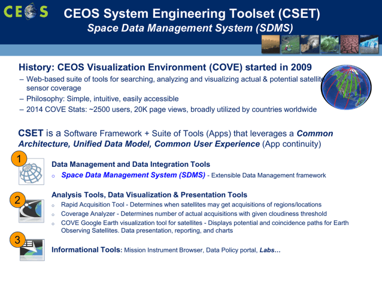
CEOS System Engineering Toolset (CSET) Space Data Management System (SDMS) History: CEOS Visualization Environment (COVE) started in 2009 – Web-based suite of tools for searching, analyzing and visualizing actual & potential satellite sensor coverage – Philosophy: Simple, intuitive, easily accessible – 2014 COVE Stats: ~2500 users, 20K page views, broadly utilized by countries worldwide CSET is a Software Framework + Suite of Tools (Apps) that leverages a Common Architecture, Unified Data Model, Common User Experience (App continuity) 1 2 Data Management and Data Integration Tools o Space Data Management System (SDMS) - Extensible Data Management framework Analysis Tools, Data Visualization & Presentation Tools o o o Rapid Acquisition Tool - Determines when satellites may get acquisitions of regions/locations Coverage Analyzer - Determines number of actual acquisitions with given cloudiness threshold COVE Google Earth visualization tool for satellites - Displays potential and coincidence paths for Earth Observing Satellites. Data presentation, reporting, and charts 3 Informational Tools: Mission Instrument Browser, Data Policy portal, Labs… CSET Application Portal www.ceos-tools.org Live in late November 2014 Analysis & Visualization Apps Data Management (SDMS) Apps Space Data Management System (SDMS) SDMS is a flexible Data Integration & Data Management Framework – Key is the ability to quickly create applications (e.g., country/organization specific applications): – Common Architecture & Data model, Security model, Project Model – Search & Data Discovery Capability o o Can pull in and search archives by metadata, criteria Search the entire federated database – Analysis & Tool Execution Capability o o o o Tool Integration framework (Java/JS based tool wrapping) Existing and custom tools to analyze data, e.g.: GDAL, Google Earth Engine, Open Foris Flexibility to work with different workflows/use-cases (mix-and-match) GIS Tools Community – Data Visualization and Presentation Capability – Big Data Framework (Hadoop – Local Big Data Cluster) • Working toward model for low bandwidth connections – Data housed, fetched, and processed remotely – Tiered solution for different bandwidth levels • SDMS is not the cure all… Capabilities SDMS Framework Columbia GFOI FAO SDMS Interface Project (Analysis) … Data … Tools … Output 1 Global SDMS Data & Tools 2 3 Context specific Work Area User-specific SDMS Data & Tools (Analysis Case) 4 Search & Filter SDMS Tool Execution (Script Editor) 1 3 Global SDMS Data & Tools Script Editor 2 User-specific Data & Tools >> Initializing… 4 Execution Console SDMS Tool Execution (Terminal Interface) 1 Global SDMS Data & Tools 2 3 User-specific Data & Tools Terminal Interface GFOI SDMS Prototype SDMS Integration - Google Earth Engine Google Earth Engine Demonstrator: – GEE is powerful satellite data acquisition and processing system – SDMS has JavaScript wrappers to the GEE API (small subset) o Allows heavy-lifting to be done at Google data centers o Can download result subsets at user specified bounds and resolutions – Benefits of integration: o Data: Provides additional source of data (SDMS Unified Data Model) o Tools: Additional processing capabilities o Workflow: Can be a source of data that is then processed by other tools – Current demonstrator prototype o Allows fetching of Landsat 7,8 band TIF files and combined thumbnail data o Focus is on cloud cover removal SDMS Status • • • • CSET / SDMS development has been ongoing over the last year Our initial release is a prototype/demonstrator (Amazon servers) Alpha release to a small user group in December 2014 Looking for feedback, hoping CEOS SEO tools continue to be of use to the broader community • SDMS Live Demonstration 1. SDMS Interface Prototype – Concept of Operations 2. Google Earth Engine Prototype – L8 Cloud removal 3. GFOI Prototype - Kenya POC: Brian Killough, Ph.D. brian.d.killough@nasa.gov Brian Williams, Ph.D b.williams@ama-inc.com Sanjay Gowda, Ph.D. gowda@ama-inc.com Data Services Prototypes ... Kenya Demo SEO is developing an online version of a generic data services tool for future testing. A demo of this tool is being worked with FAO to test processing and product development for one Kenya scene. DEMO Details Location: Kenya (Mt. Kenya National Park) Dataset: Landsat 7, (Path-168, Row-60) Step #1: LEDAPS Processing - TOA reflectance, cloud screening (ACCA), Atmospheric Correction to SR Step #2: BRDF Correction - Use MODIS data? Step #3: Cloud/Shadow Removal - Tag pixels with a value or color for statistics and viewing Step #4: SLC Gap Removal - Tag pixels with a value or color for statistics and viewing Step #5: Forest Classifier (unsupervised, or MODIS Vegetation Continuous Fields (VCF), or Random Forest) Final Product: Forest Map with Statistics (Clouds, SLC Gaps, Forest, Non-Forest) 10
