Presentation - Copernicus.org
advertisement
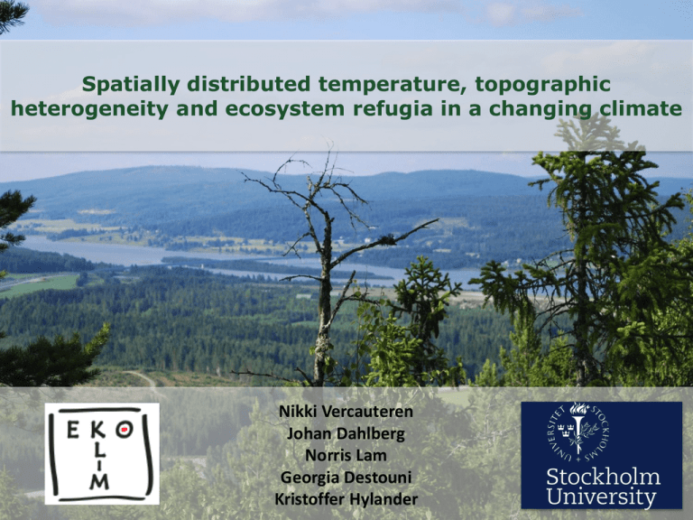
Spatially distributed temperature, topographic heterogeneity and ecosystem refugia in a changing climate Nikki Vercauteren Johan Dahlberg Norris Lam Georgia Destouni Kristoffer Hylander Context • Ecological refugia: small scale temperature heterogeneity can lead to the presence of refugia for species • Topography (North slope or south slopes, shading…) controls the local temperature to a large extent Can we use topographic information to downscale climatic temperature series? Climate change effect on plants Bryophytes Vascular plants South and north facing slopes Plant refugia in a changing climate A. Warmer climate B. Warmer climate Northern species Southern species Location of new refugia? The role of existing refugia? Solar radiation tool • ArcGIS solar radiation tool used to calculate insolation on daily, weekly or monthly periods. (hemispherical viewshed algorithm developed by Rich et al. (1990, 1994), Fu and Rich (2000, 2002), see ArcGIS desktop help) • Accounts for the effect of elevation, surface orientation, sun-earth geometry, sky obstruction caused by neighbor topography and atmospheric conditions. Source: ArcGIS desktop help Methodology • Compute solar radiation, parameters used: monthly atmospheric transmissivity and diffuse proportions estimated from cloud cover data (SMHI) • Transmissivity: t = 0.7 pclear sky + 0.5 ppartly cloudy + 0.3 pcloudy Diffuse proportion = 0.2 pclear sky + 0.45 ppartly cloudy + 0.7 pcloudy • Temperature = f (solar radiation, lapse rate, time lag) • Are other parameters important? Distance to the sea? Source: Huang et al. 2008, Physical Geography Field studies in Sweden Moss transplants Temperature measurements iButton sensors, ground and near air temperature Inventories Site location and DEM Umeå Stockholm 3000 km2 Temperature sensors (64) ★ Flat Monthly insolation Insolation [WH/m2] Temperature measurements [C] Flat Altitude of the sensors is between 7 m and 400 m a.s.l. Effect of the sea is dominant Diurnal temperature variations June, diurnal variation of air temperature Average daily insolation [WH/m2] Diurnal temperature variations June, diurnal variation of ground temperature Average daily insolation [WH/m2] Examples of averaged diurnal temperature Sea shore Inland Averaged diurnal variations of temperature during the month of june at 2 sites. Factors controlling temperature variations 50% correlation between the daily insolation and the air temperature diurnal variation (ground: 27%) 58% correlation between the distance to the sea and the air temperature diurnal variation (ground: 10%) Temperature response • Both insolation and distance to the sea control the response of local temperature variations. • On long time scale, the presence of the sea regulates the coastal temperature leading to warmer spring temperatures by the coast. • On daily timescales, the presence of the sea dampens the diurnal temperature variations. Future work • Gathering several months of temperature data, we will look at the time delay between maximal insolation and maximal temperature (monthly scale) • How is this time delay dependent on the distance to the sea? • Modeling the combined response of local temperature to the insolation and to the distance to the sea can help downscale large scale temperature series, but also maybe diurnal temperature maxima. Protected areas Thank you Questions? Contact: Nikki.vercauteren@natgeo.su.se

