the presentation
advertisement
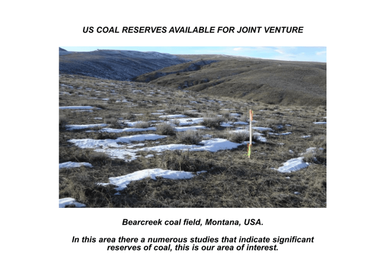
US COAL RESERVES AVAILABLE FOR JOINT VENTURE Bearcreek coal field, Montana, USA. In this area there a numerous studies that indicate significant reserves of coal, this is our area of interest. USGS MAP OF THE BIG HORN BASIN A PROVEN RESOURCE FOR COAL 2 USGS MAP BIG HORN BASIN COAL FORMATIONS IN MONTANA AND WYOMING, USA 3 LOCATION OF BEARCREEK COAL FIELD CARBON COUNTY, MONTANA 4 History of the Bearcreek Coal Field First discovered in 1866. Northern portion was commercially mined around 1900 with the arrival of the Yellowstone Park Railway. Underground coal mining peaked in the early 1920s at more than one million tons per year, when Bearcreek coal powered railroad locomotives, and heated homes throughout Montana. Approximately forty million tons were produced during this period. Production gradually diminished with the development of diesel-powered locomotives, and use of natural gas for residential heating. Following a brief revival of coal production during World War II, most of the mines in the area such as the Smith mine (pictured at right) were closed by the early 1950’s. In the early 1980’s, approximately 35,000 tons were produced before operations were discontinued. No additional production has occurred since that time. The Smith Mine circa 1920 No significant production has occurred since mining was discontinued in the 1940’s. Large areas of the Bearcreek coal field remain undeveloped; there is an estimated 389,000,000 tons in place. 5 DESCRIPTION OF THE COAL BEDS FOUND IN THE FORT UNION FORMATION There are seven different coal seams that run throughout Bearcreek ranging in thickness from 4 to 12 feet, and consistent with the findings as reported by the USGS. The Bearcreek field contains an estimated 22 million plus strippable tons, and over 389 million tons that can be produced using underground mining methods. 6 Bearcreek is very isolated. There are no houses, forests, wildlife issues or cultural artifact issues preventing future development of this coal field. 7 TRANSPORTATION The Bearcreek coal field has access to the BNSF railway in nearby Bridger, Montana, located 19 miles from the coal. The former rail spur linking the coal to Bridger was disassembled in the 1940’s. The rail bed still exists and potentially could be utilized to connect the coal to the main line in Bridger. Alternative transportation methods include trucking, slurry pipeline, and overland conveyor system. 8 ON SITE DEVELOPMENT The Bearcreek opportunity has excellent potential to provide long term energy supplies for a future power plant, coal to liquids or gasification facilities. Conditions in Bearcreek are favorable for development; there are no problem issues involving wildlife species, forests, cultural artifacts, or other such obstacles preventing development. Carbon County is one of the poorest counties in the state of Montana. Local officials have expressed support for development and the jobs and tax revenues a mining and/or processing facility would bring to the area. Future development of Bearcreek will require a mining permit. The process to receive a permit is estimated to require 12 to 18 months. 9 The Bearcreek coal field is a rare acquisition opportunity given its size, location, and favorable development conditions. 10 beartoothmtncoal.com Contact: Victoria Blackburn info@beartoothmtncoal.com 928-684-2737 928-231-4932 702-756-6014 Facsimile: 877-363-0754 11 THANK YOU 12

