Thorney Island

Access Opportunities on the Defence Estate
Thorney Island
West Sussex
Circular walk, following the foreshore around Thorney Island, part of an Area of Outstanding Natural Beauty and an important area for ornithology.
Distance: 7 miles (11.2km)
Duration: 4-5 hours
Grade:
OS map sheet(s)
OS Landranger Sheet 197 (1:50,000)
OS Explorer Sheet 120 (1:25,000)
Starting Grid Reference: GR 766 051
Site description / history
Thorney Island was first used by the Royal Air Force in
1935 and was a fighter station and base for Coastal
Command during the Second World War. In 1984, it was taken over by the Army and it is now the home base for an Army. bridges, past some boatyards. From here, continue along the seawall southwards, crossing a fixed wooden bridge down towards the Great Deep. The path is fairly narrow in places and progress is slower along this section when the terrain is muddy.
The path then crosses a sluice that allows the Great
Deep to overflow into the harbour (GR 766 036).
Just across the sluice is the Eastern Security gate into the Camp B . This gate is remotely controlled by the guardroom via an intercom and CCTV. You must give your name and address before access can be allowed.
Once on the Camp perimeter path, continue to walk southwards around Stanbury Point, past St Nicholas’
Church and Thorney Island Sailing Club C (GR 770
024).
However, to call Thorney Island an island, is now rather an anachronism, for it has been joined to the mainland for some 125 years after the reclamation of
72 hectares of tidal mudflats in 1870. The island area comprises a mixture of open grassland (displaying a colourful variety of meadow plants in season), scrub and reed beds. This variety of habitat, in conjunction with the surrounding wetlands, makes Thorney Island one of the best MOD sites for ornithology, with species including brent geese, oystercatchers, lapwings, curlews, skylarks and shelduck.
Walk description
Public access to the island is strictly limited to the footpath that runs around the foreshore (the Sussex
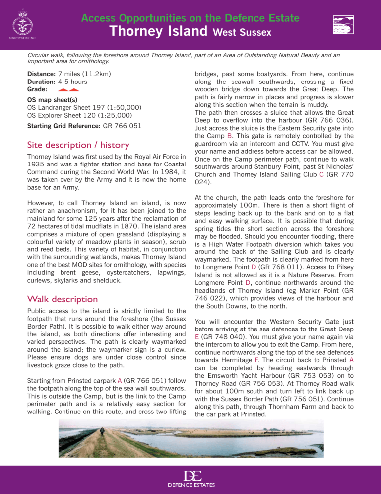
Border Path). It is possible to walk either way around the island, as both directions offer interesting and varied perspectives. The path is clearly waymarked around the island; the waymarker sign is a curlew.
Please ensure dogs are under close control since livestock graze close to the path.
Starting from Prinsted carpark A (GR 766 051) follow the footpath along the top of the sea wall southwards.
This is outside the Camp, but is the link to the Camp perimeter path and is a relatively easy section for walking. Continue on this route, and cross two lifting
At the church, the path leads onto the foreshore for approximately 100m. There is then a short flight of steps leading back up to the bank and on to a flat and easy walking surface. It is possible that during spring tides the short section across the foreshore may be flooded. Should you encounter flooding, there is a High Water Footpath diversion which takes you around the back of the Sailing Club and is clearly waymarked. The footpath is clearly marked from here to Longmere Point D (GR 768 011). Access to Pilsey
Island is not allowed as it is a Nature Reserve. From
Longmere Point D , continue northwards around the headlands of Thorney Island (eg Marker Point (GR
746 022), which provides views of the harbour and the South Downs, to the north.
You will encounter the Western Security Gate just before arriving at the sea defences to the Great Deep
E (GR 748 040). You must give your name again via the intercom to allow you to exit the Camp. From here, continue northwards along the top of the sea defences towards Hermitage F . The circuit back to Prinsted A can be completed by heading eastwards through the Emsworth Yacht Harbour (GR 753 053) on to
Thorney Road (GR 756 053). At Thorney Road walk for about 100m south and turn left to link back up with the Sussex Border Path (GR 756 051). Continue along this path, through Thornham Farm and back to the car park at Prinsted.
Access Opportunities on the Defence Estate
Thorney Island
West Sussex
Circular walk, following the foreshore around Thorney Island, part of an Area of Outstanding Natural Beauty and an important area for ornithology.
How to get there
For information on local public transport, call Traveline on 0870 608 2608 (local call rate) or www.traveline.
org.uk
Local facilities
There are car parking facilities at Prinsted A , suitable for approximately 15 cars.
Points of interest Useful contact details
• Thorney Island is part of the Chichester Harbour
Site of Special Scientific Interest and forms part of Chichester and Langstone Harbours
Special Protection Area/Ramsar Site. It includes
2,800 hectares of intertidal mudflats which are internationally recognised for their importance for wildlife. Thorney Island is a designated
Special Protection Area.
For information on access to Thorney Island Camp call 01243 388269. For further information on walks in the area contact Chichester Harbour Conservancy
01243 512301.
• 12th Century Church of St Nicholas (C). (Public access is not permitted).
•
Bird watching points, to look across to Pilsey
Island and Pilsey Sands, an RSPB managed
Local Nature Reserve.
• The island derives its name from the Hawthorn bushes found on the island.
Restrictions / access times
• Access is available at all times, you must follow the coast path.
• There are access gates (East, B, and West, E) which are remotely controlled by the guardroom via an intercom. Access to the footpath is monitored at all times.
• Due to the path running predominantly around the foreshore of the island, there may be occasions when the path is not accessible, in particular during high tides and high winds.
• Please consult the Camp before setting out to check if the footpath is accessible at all points on the circuit.
Crown Copyright


