British Geological Survey
advertisement

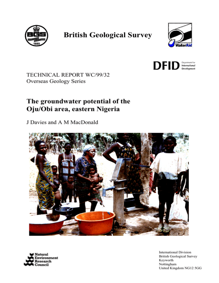
British Geological Survey TECHNICAL REPORT WC/99/32 Overseas Geology Series The groundwater potential of the Oju/Obi area, eastern Nigeria J Davies and A M MacDonald International Division British Geological Survey Keyworth Nottingham United Kingdom NG12 5GG Plate 1. Children bathing in a pond in the Upper reaches of the River Obi. Plate 2. A woman collecting water from a stream seepage near Odubwo. Plate 4. Taking water from a large dugout in a shallow valley at Adum East. Plate 3. A pond seepage used for drinking water and bathing near Adum West. Plate 5. A dried up traditional shallow well. Plate 6. A working borehole constructed during the project at Odubwo. 5 8 20' Alluvium Eze-Aku Shale Fm Thick Laterite Asu River Fm 8 15' % % % % 7 05' % % % % %%% %% %% % % % %%% %% %% %% % % % % % % % % % %% % % % Major Road % % % %% % % % 9 % % %%% % % % % % % %% % % % % % % % % %% % % %% % % % %% % %% % % % % % % % % % %% % % % % % % 8 40' % % %% % % % %% % %% % % %%%% %% % % % % %%% % % %% %% % %% % % 6 45' % % % % % % % % % % % % % % % %% %% % % % % % % % % %% % 8 35' % % %% %% % % % Minor Road % % % % % % % % % % % % % % % % % %% % % % Village % % % % % % %%% % % % % %% % % % % % %%% % % % % % % % % % % % aeromagnetic anomalies (possible dolerite intrusions) % % % % Igneous Intrusions Awgu Shale Fm Makurdi Sandstone Fm % % Agbani Sandstone Fm % %%% % % %%%% % % 6 55' % % % % Asu River Fm 8 25' % %% % % % 7 00' % % %% % Metamorphosed %% % % % % % % %% % % % % % % % % % % % %% % % % %%% % %% % % %% %%% % % %% % %% % % % % % % % % % % % % % % % % % Figure 5. % Simplified groundwater development map for Oju and Obi (taken from 10 MacDonald and Davies 1998b). 0 N 10 20 Kilometers Plate 7. EM34 equipment used on the project. Plate 8. EM34 being used in the vertical orientation by BERWASSA staff. Plate 9. The magnetometer in use in Obi. Plate 10. Basic equipment required for a resistivity sounding. Plate 11. Electrodes being watered to ensure good contact with the ground for a resistivity survey. 12 Plate12. Project drilling rig at BGS18 Plate 13. Drilling support vehicle and compressor. Plate 14. Drag bit used for soft overburden Plate 15. Down the hole hammer used for hard rocks Plate 16. Measuring the yield during drilling. Plate 17. Chip samples from drilling collected and displayed in a core box for easy analysis. 17 Plate 18. A bailer test being carried out at Edumoga. Plate 19. Measuring water levels during a test at Ugbodum. Plate 21. A whale pump test at Ochingini. Plate 20. Recording the recovery rate after pumping has stopped. Plate 22. Simple raingauge used by schools in Oju/Obi. 19 Plate 23. A series of photographs showing the Obi River at various stages of the year: (1) after heavy rainfall; (2) at the end of the rains; and (3) towards the end of the dry season. 27 Plate 24. Weathered interbedded slatey shales and pyroclastic rocks of the Metamorphosed Asu River Formation in the Wokum Hills. Plate 25. Metamorphosed Asu River Formation from BGS20 at Oyinyi Iyechi. Note the fracture filled with calcite. 33 Plate 26. Convoluted and folded Asu River Formation in a stream bed near Odubwo. Plate 27. Water bearing fracture from BGS2a at 16 m depth. Note that the fracture is filled with calcite. 38 Plate 28. Alternations of hard sandstone, limestone and shale within the Lower Eze Aku Formation at the Konshisha River. Plate 29. Fossil burrows forming on the base of hard sandstone layers at Edumoga. Plate 30. Core sample from BGS16, showing moderately soft mudstone and muddy sandstone. 44 Plate 31. Cross bedding in weathered Makurdi Sandstone Formation. Plate 32. Thickest unit in the Makurdi Sandstone Formation exposed in a road cutting at Adum East. Plate 33. Very hard silcrete layer often found in the near surface weathered zone of the Makurdi Sandstone Formation. 49 Plate 34. Weathering and fracture at 16 m depth in the Makurdi Sandstone Formation (BGS7). Plate 35. Alternations of sandstone and shale in the Makurdi Sandstone Formation (BGS12). Plate 36. Shelly limestone layer from the Makurdi Sandstone Formation (BGS36). 50 Plate 37. Vertical fracture in a limestone bed within the Upper Eze Aku Formation. Plate 38. Medium grained sandstone within the Upper Eze Aku Formation at BGS4. Plate 39. Silty dark grey mudstones and fine grained sandstone in the Upper Eze Aku formation at BGS4. 55 Plate 40. Weathered Awgu Shale Formation from hand dug well, note the gypsum crystals. Plate 41. Base of weathered zone in the Awgu Shale formation showing development of red iron oxides and gypsum within carbonaceous mudstone. Plate 42. Nonweathered Awgu Shale Formation from BGS31 - soft and highly carbonaceous mudstone. 59 Plate 43. Very weathered Agbani Sandstone Fromation, alternating with shales; from stream bank near Echuri. Plate 44. Weathered Agbani Sandstone Formation from hand dug well in Echuri. Plate 45. Non weathered muddy fine grained Agbani Sandstone Formation from Ugbodum (BGS40) 64 Plate 46. Weathered dolerite exposed in a river bed. Plate 47. A thin dolerite sill near Adum west. Plate 48. Dolerite core from BGS35 at Adum West. Note the white veins of zeolite associated with fracturing. 69 74 Plate 49. Nodular laterite developed over swelling clays (illite/smectite) and kaolinite clays for the Lower Eze Aku Formation. Plate 50. Sandy, nodular laterite developed on the Makurdi Sandstone Formation. Plate 51. Ancient hard ferrecrete, overlying mottled kaolinite rich layer developed on the Lower EzeAku Formation. Plate 52. Amina from Obi WASU using the GPS to locate a village. Plate 53. Aja from Oju WASU examining a rock sample as part of the “triangulation” procedure. Plate 54. Obi WASU staff using the groundwater development map. 86


