Sharing Your Map: Export to a pdf or jpg File
advertisement

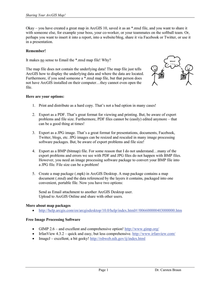
Sharing Your ArcGIS Map! Okay – you have created a great map in ArcGIS 10, saved it as an *.mxd file, and you want to share it with someone else, for example your boss, your co-worker, or your teammates on the softball team. Or, perhaps you want to insert it into a report, into a website/blog, share it via Facebook or Twitter, or use it in a presentation. Remember! It makes no sense to Email the *.mxd map file! Why? The map file does not contain the underlying data! The map file just tells ArcGIS how to display the underlying data and where the data are located. Furthermore, if you send someone a *.mxd map file, but that person does not have ArcGIS installed on their computer…they cannot even open the file. Here are your options: 1. Print and distribute as a hard copy. That’s not a bad option in many cases! 2. Export as a PDF. That’s great format for viewing and printing. But, be aware of export problems and file size. Furthermore, PDF files cannot be (easily) edited anymore – that can be a good thing at times! 3. Export as a JPG image. That’s a great format for presentations, documents, Facebook, Twitter, blogs, etc. JPG images can be resized and rescaled in many image processing software packages. But, be aware of export problems and file size! 4. Export as a BMP (bitmap) file. For some reason that I do not understand…many of the export problems and errors we see with PDF and JPG files do not happen with BMP files. However, you need an image processing software package to convert your BMP file into a JPG file. File size can be a problem! 5. Create a map package (.mpk) in ArcGIS Desktop. A map package contains a map document (.mxd) and the data referenced by the layers it contains, packaged into one convenient, portable file. Now you have two options: Send as Email attachment to another ArcGIS Desktop user. Upload to ArcGIS Online and share with other users. More about map packages • http://help.arcgis.com/en/arcgisdesktop/10.0/help/index.html#//006600000403000000.htm Free Image Processing Software • • • GIMP 2.6 – and excellent and comprehensive option! http://www.gimp.org/ IrfanView 4.3.2 – quick and easy, but less comprehensive. http://www.irfanview.com/ ImageJ – excellent, a bit geeky! http://rsbweb.nih.gov/ij/index.html Page 1 Dr. Carsten Braun Sharing Your ArcGIS Map! Exporting a Map in ArcGIS Export you map! ArcGIS allows you to export your map into many different file formats. The three most convenient ones are a) PDF and b) JPG and c) BMP. • • • PDF files are great for viewing and printing – and everyone these days has Adobe Acrobat Reader installed on their computers. JPG files are even better: you can look at them, but also easily insert them in MS Word documents, MS PowerPoint presentations, or websites. BMP files can be helpful if you are experiencing export problems with the PDF or JPG export. Here’s how you export: 1. Select File – Export Map…to open the map export window. 2. Specify the save location. Always export your map to the appropriate weekly folder or project folder. 3. Specify the file name. Recommendation: all lower case, no blanks, letters and numbers only. 4. Select the Save as type Here you have 10 choices. The three most useful file types are PDF, JPG, and BMP. Depending on your choice, different options are available. For JPG Files • General Tab: Set Resolution = 150 dpi to give you a good balance between file size and print quality. Remember, the higher the resolution, the better the print quality and the larger the resultant file. Use 300 dpi or 600 dpi if you need high-quality prints. Do not check the Write World File checkbox. • Format Tab: Keep the default selections. For PDF Files • General Tab: Set Resolution = 150 dpi or higher for the reasons explained above. • Format Tab: Keep the default selections. • Advanced Tab: Keep the default selections. • Pages Tab: Keep the default selections For BMP Files • General Tab: Set Resolution = 150 dpi or higher for the reasons explained above. • Format Tab: Keep the default selections. 5. Click the Save button. Always open your exported map and make sure that nothing got distorted or omitted during the map export. That can be a problem, especially when exporting as a PDF. Page 2 Dr. Carsten Braun Sharing Your ArcGIS Map! Screenshot of the Export Map window in ArcGIS Creating a Map Package in ArcGIS Map packages (.mpk) make it easy to share complete map documents with others. A map package contains a map document (.mxd) and the data referenced by the layers it contains, packaged into one convenient, portable file. Map packages can be used for easy sharing of maps between colleagues in a work group, across departments in an organization, or with any other ArcGIS users via ArcGIS online. Map packages have other uses, too, such as the ability to create an archive of a particular map that contains a snapshot of the current state of the data used in the map. Before packaging a map, be sure to enter descriptive information about it in the Map Document Properties dialog box. This information is built into the package and is accessible to others when you upload your map package into ArcGIS online. You can access this dialog box by clicking File > Map Document Properties on the main menu. You can save your map package as a file to your disk or directly to your ArcGIS Online account. Click Validate to analyze your map for any errors or issues. You must validate before you can save it to disk or share it to ArcGIS online. If any issues are discovered, a Prepare window will appear with a list of issues. Right-click on each Prepare message to get more information, read help for the error, and to click on suggested fixes Page 3 Dr. Carsten Braun Sharing Your ArcGIS Map! Other Options There are more good ways to share your maps and data which we will explore this semester, for example: • • Zip Archives: Create a zip archive containing your map and your data files. Google Earth: Export your map layers as kml/kmz files for viewing in Google Earth. Additional Information Map Printing • http://help.arcgis.com/en/arcgisdesktop/10.0/help/index.html#/About_map_printing/00sm 00000003000000/ Exporting Your Map • http://help.arcgis.com/en/arcgisdesktop/10.0/help/index.html#/Exporting_your_map/00s m00000004000000/ Exporting to PDF • http://help.arcgis.com/en/arcgisdesktop/10.0/help/index.html#/Exporting_to_PDF/00sm0 0000007000000/ Map Packages • http://help.arcgis.com/en/arcgisdesktop/10.0/help/index.html#//006600000403000000.ht m KML Export • http://help.arcgis.com/en/arcgisdesktop/10.0/help/index.html#/An_overview_of_the_To_ KML_toolset/00120000002n000000/ • http://help.arcgis.com/en/arcgisonline/help/index.html#//010q00000066000000 • http://help.arcgis.com/en/arcgisdesktop/10.0/help/index.html#/A_quick_tour_of_exportin g_data/003n00000037000000/ Page 4 Dr. Carsten Braun


