يجولورديهلا دصرلا تاطحم ةكبش Hydrological Monitoring Stations Network World Water Forum
advertisement
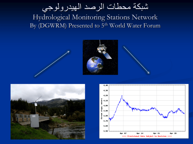
شبكة محطات الرصد الهيدرولوجي Hydrological Monitoring Stations Network By (DGWRM) Presented to 5th World Water Forum Hydrological Monitoring Station Network in Iraq "Abstract" By Dr. Alaa H. AL-Shami The control and intelligent use of water play a predominant role in operating, scheduling and managing water supply system particularly in arid and semi arid regions where the amount and timing of precipitation are not adequate to meet the water requirement for agriculture, electric power generation and human consumptions. River monitoring station and hydrological observation in Iraq have come to a complete stop in most regions in many cases since more than 10 years. Where gauge readings have continued, the state of measuring equipment is in adequate if it is not disappeared by looting and the station need urgent rehabilitation. Hydrological monitoring is of particular importance in Iraq as it provides planning data and the information required for operational water resources management. The application include water allocation water control operation, the optimization of reservoir operation irrigation and drought contingency planning as well as water availability fore casting. Iraq has a very complex system of dams barrages, regulators, pump station canal and irrigation system that require specific flow to operate and manage properly. It is estimated that nearly 105 hydrological stations are required for proper water control system and reservoir operation. An cooperation between the Italian Ministry for the Environment and Territory and Hydrological Engineering Center (HEC) U.S.A with Ministry of water resource to supply most of the station as a grant for measuring water level, water quality and discharges, for the most site. The project is under progress and shortly will be completed. Objective of Data Collection The objective of the proposed hydrological observation network is to provide accurate data for: Water resources assessment ( in one of the most important head water areas in the Middle East). Monitoring of inflow from Turkey , Iran , and Syria and can be shared between the riparian countries. Monitoring trends caused by climate and land use changes. Water resources management , sustainable and equitable water use. Watershed management. Drought mitigation planning. Design of irrigation dam, hydropower projects. Water availability and flood forecasting. Historical data can be the bases of for negotiations between the riparian countries. The system measuring the following parameters : 1. 2. 3. 4. 5. Water level. Discharge measurement of the rivers . Sediment measurement . Water quality measurement . Chemical water measurement (PH , DO, EC, TEMP, etc…). 6. Measurement the ground water elevation. 7. Snow measurement . Data users and data needs Renovation of Gauging Stations “Partner Agencies” Iraq Ministry of Water Resources (MoWR) G.D. for Water Resources Management CRIM ( Center for Rehabilitation of Iraqi Marshlands ) G.D. for Dams and Reservoirs operation G.D. for operation and Maintenance of Irrigation projects USACE – HEC (Hydrological Engineering Center) USGS IMET ARDI USAID (Untied State of Geological Survey) (Italian Ministry for Environment and Territory) (Agriculture-food Research and Development initiative) (Unite States Agency for International Development) محطات الرصد القديمة Sarai Baghdad station المحطات الهيدرولوجية Hydrological Stations مخطط توضيحي لمحطة القياس Typical station LSH Level sensor LSH Level sensor Watertemperature temperature probe WTWT Water probe EC EC Electric conductivity probe Electric conductivity probe PH PH probe PH DO PH Dissolved probe oxygen probe DO Dissolved oxygen probe المحطة المركزية Master Station Data transmitting before master station is working Data transmitting after master station is working األسئلة والمناقشة Questions and Discussion
