GRAIL’s In Town GPS Adventure!
Name of Team or Individual: ___________________
Description: Get outside with your GPS receiver with
activities focused on geography, science, and
mathematics, while thinking about coordinate systems,
landscapes, land use, and other topics.
Activity: Turn on your GPS receiver and go outside.
1) How many satellites has your GPS receiver lock on to
when it says “ready to navigate?” _______.
2) What does the outer circle symbolize on the satellite
view screen? ____________________.
3) Mark a waypoint at your current location. What is the
latitude at your location? _________________. What is
the longitude?____________________.
4) Where is 0 degrees latitude?_________________.
5) Where is 0 degrees longitude? ________________.
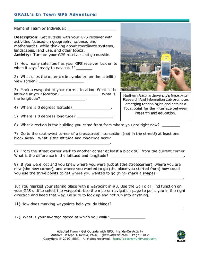
Northern Arizona University’s Geospatial
Research And Information Lab promotes
emerging technologies and acts as a
focal point for the interface between
research and education.
6) What direction is the building you came from from where you are right now? ________.
7) Go to the southwest corner of a crossstreet intersection (not in the street!) at least one
block away. What is the latitude and longitude here?
__________________________________________.
8) From the street corner walk to another corner at least a block 90° from the current corner.
What is the difference in the latitued and longitude? ________________________________.
9) If you were lost and you knew where you were just at (the streetcorner), where you are
now (the new corner), and where you wanted to go (the place you started from) how could
you use the three points to get where you wanted to go (hint- make a shape)?
__________________________________________________________________________.
10) You marked your staring place with a waypoint in #3. Use the Go To or Find function on
your GPS unit to select the waypoint. Use the map or navigation page to point you in the right
direction and head that way. Be sure to look up and not run into anything.
11) How does marking waypoints help you do things?
__________________________________________________________________________.
12) What is your average speed at which you walk? _______________.
Adapted From - Get Outside with GPS: Hands-On Activity
Author: Joseph J. Kerski, Ph.D. – jkerski@esri.com - Page 1 of 2
Copyright © 2010, ESRI. All rights reserved. http://edcommunity.esri.com
13) What is the maximum speed at which you can run? ______________.
14) Change to the map screen and zoom in as far as you can. Make sure the tracking
feature is on. Draw the first letter of your (& your team members’) first name by tracing it on
the ground as you walk, noting the letter’s shape on your GPS screen. What letter(s) did you
draw? ______. What are the challenges of drawing this letter accurately?
___________________________________________________________________________
__________________________________________________________________________.
15) Mark a waypoint and change the latitude of this waypoint to 51.5° (51° 28’) north and
change the longitude to 0 Degrees East. This is the approximate location of the Royal
Observatory in Greenwich, England. Save the point and use the Go To function. How far is it
to the Royal Observatory from where you are now? Include the units:
___________________________.
16) If you were to walk at your average walking speed all the way to the Royal Observatory,
how long would it take you to get there? Show your work:____________________________
__________________________________________________________________________.
17) Examine the following data and fill in the blanks:
100 km
= 1 degree of latitude
10 km
= .1 degree
1 km
= _________ degree
1000 m
= .01 degree (because 1 km = 1000 m)
100 m
= .001 degree
10 m
= _________ degree
1m
= .00001 degree
18) Verify as you walk due north or south that for every meter you walk, the latitude
numbers increase or decrease by .00001. Is this true? Circle your answer: Yes | No.
19) If geometry tells us that it is 360 degrees around the Earth, and 1 degree is 100 km
distance, what is the distance (the circumference) all the way around the Earth? Show your
work: ____________________________________________________________________.
20) At the average walking speed noted above, how long would it take you to walk around
the Earth? Show your work ____________________________________________________
__________________________________________________________________________.
21) At your top running speed noted above, how long would it take you to run around the
Earth? Show your work: ______________________________________________________
__________________________________________________________________________.
22) If you could run all the way around the Earth, at what date would you be back here at
the starting point? Show your work: ____________________________________________
__________________________________________________________________________.
Adapted From - Get Outside with GPS: Hands-On Activity
Author: Joseph J. Kerski, Ph.D. – jkerski@esri.com - Page 2 of 2
Copyright © 2010, ESRI. All rights reserved. http://edcommunity.esri.com

