Information in Radio Waves
advertisement
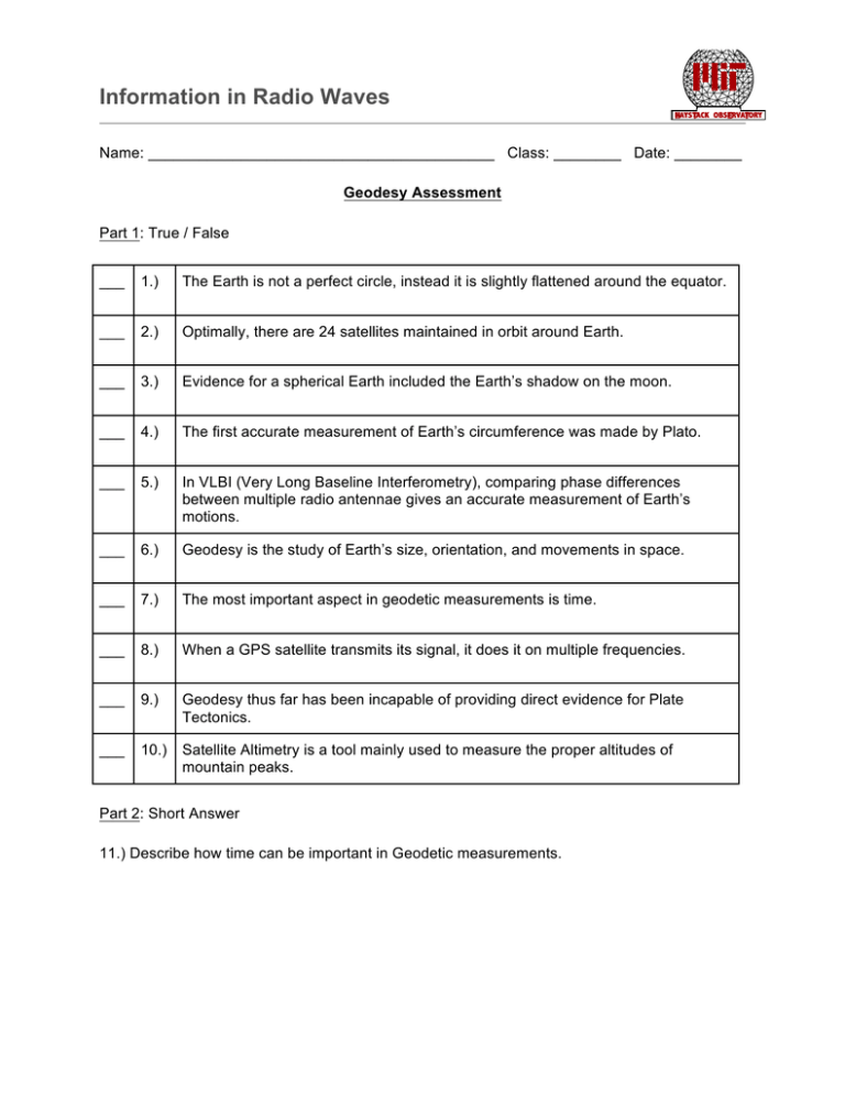
Information in Radio Waves Name: _________________________________________ Class: ________ Date: ________ Geodesy Assessment Part 1: True / False ___ 1.) The Earth is not a perfect circle, instead it is slightly flattened around the equator. ___ 2.) Optimally, there are 24 satellites maintained in orbit around Earth. ___ 3.) Evidence for a spherical Earth included the Earth’s shadow on the moon. ___ 4.) The first accurate measurement of Earth’s circumference was made by Plato. ___ 5.) In VLBI (Very Long Baseline Interferometry), comparing phase differences between multiple radio antennae gives an accurate measurement of Earth’s motions. ___ 6.) Geodesy is the study of Earth’s size, orientation, and movements in space. ___ 7.) The most important aspect in geodetic measurements is time. ___ 8.) When a GPS satellite transmits its signal, it does it on multiple frequencies. ___ 9.) Geodesy thus far has been incapable of providing direct evidence for Plate Tectonics. ___ 10.) Satellite Altimetry is a tool mainly used to measure the proper altitudes of mountain peaks. Part 2: Short Answer 11.) Describe how time can be important in Geodetic measurements. Information in Radio Waves 12.) What types of information is encoded into a GPS satellite’s signal? 13.) VLBI (Very Long Baseline Interferometry) is primarily used for radio astronomy. How can it be used for Geodesy? 14.) How was it first determined that the Earth was not a perfect sphere? 15.) Briefly describe at least two types of measurements that can be made using GPS satellites. Part 3: Inquiry 1.) Describe in detail how you can measure the size (circumference, radius, etc.) using the sun. Think of Eratosthenes methods. 2.) Discuss how our view of the Earth changed over time. How well do we know our planet’s shape and orientation now?
