World Food Programme / Country Comparison Created By: Julia Swallow
advertisement
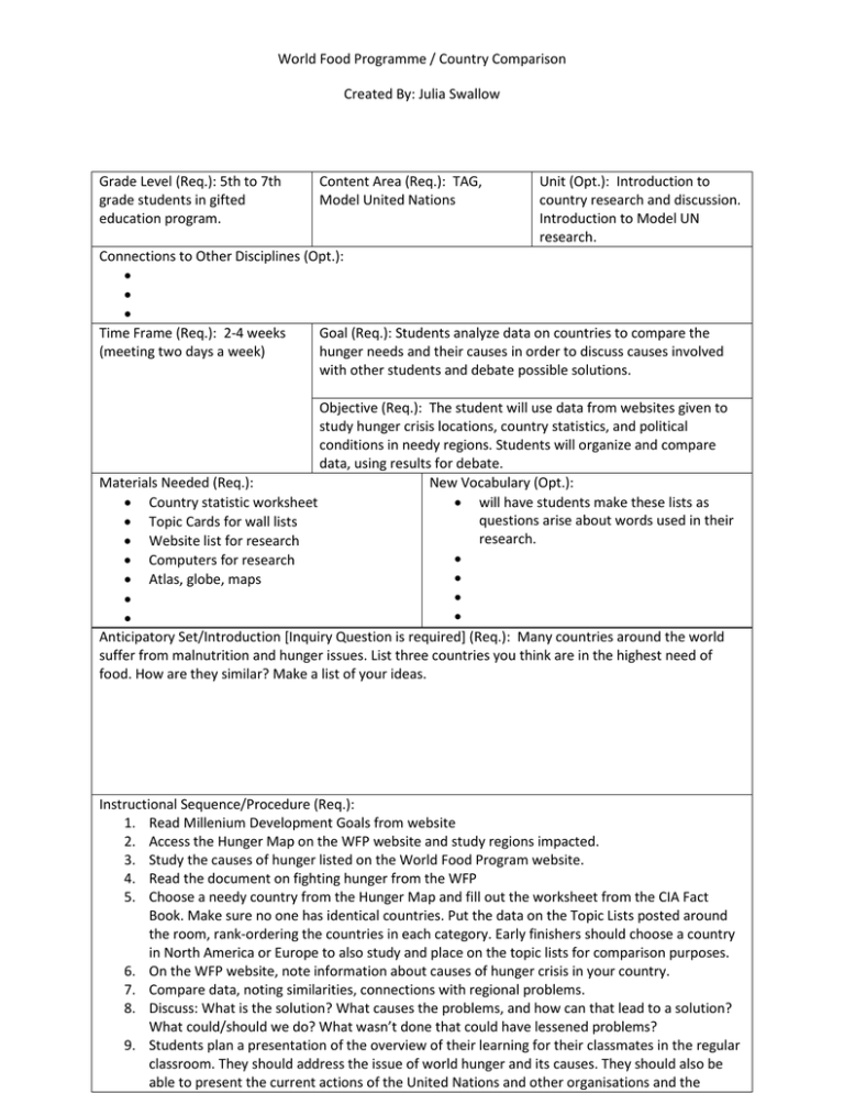
World Food Programme / Country Comparison Created By: Julia Swallow Grade Level (Req.): 5th to 7th grade students in gifted education program. Content Area (Req.): TAG, Model United Nations Unit (Opt.): Introduction to country research and discussion. Introduction to Model UN research. Connections to Other Disciplines (Opt.): • • • Time Frame (Req.): 2-4 weeks Goal (Req.): Students analyze data on countries to compare the (meeting two days a week) hunger needs and their causes in order to discuss causes involved with other students and debate possible solutions. Objective (Req.): The student will use data from websites given to study hunger crisis locations, country statistics, and political conditions in needy regions. Students will organize and compare data, using results for debate. Materials Needed (Req.): New Vocabulary (Opt.): • Country statistic worksheet • will have students make these lists as questions arise about words used in their • Topic Cards for wall lists research. • Website list for research • • Computers for research • • Atlas, globe, maps • • • • Anticipatory Set/Introduction [Inquiry Question is required] (Req.): Many countries around the world suffer from malnutrition and hunger issues. List three countries you think are in the highest need of food. How are they similar? Make a list of your ideas. Instructional Sequence/Procedure (Req.): 1. Read Millenium Development Goals from website 2. Access the Hunger Map on the WFP website and study regions impacted. 3. Study the causes of hunger listed on the World Food Program website. 4. Read the document on fighting hunger from the WFP 5. Choose a needy country from the Hunger Map and fill out the worksheet from the CIA Fact Book. Make sure no one has identical countries. Put the data on the Topic Lists posted around the room, rank-ordering the countries in each category. Early finishers should choose a country in North America or Europe to also study and place on the topic lists for comparison purposes. 6. On the WFP website, note information about causes of hunger crisis in your country. 7. Compare data, noting similarities, connections with regional problems. 8. Discuss: What is the solution? What causes the problems, and how can that lead to a solution? What could/should we do? What wasn’t done that could have lessened problems? 9. Students plan a presentation of the overview of their learning for their classmates in the regular classroom. They should address the issue of world hunger and its causes. They should also be able to present the current actions of the United Nations and other organisations and the ongoing problems that continue to affect hunger eradication. 10. 11. 12. 13. 14. 15. 16. 17. 18. 19. 20. Formative Evaluation (Req.): 1. Why are some regions suffering from malnutrition and hunger? 2. What are some of the reasons that people in those regions suffer from hunger? Explain. Assessment (Req.): 1. Students use data found on CIA website to compare countries. 2. Answer: How do the following contribute to the hunger crisis in a region of the world: climate change, politicial situations, war, human migrations due to drought or war-time situations, unstable governments, poverty, disease or epidemics? From this list, pick three or four relevant ideas. Give examples from our discussion and study of hunger and explain how they play a part in the region you chose. 3. Students work together to plan a presentation for their classmates covering the big ideas of their learning. (My students do not receive grades for their learning in TAG programming.) Iowa Core Curriculum Standards Used (Req.): • Geography, grade 6-8: Understand the use of geographic tools to locate and analyze information about people, places. and environments. • Geography, grade 6-8: Understand how geographic and human characteristics create culture and define regions • Geography, grade 6-8: ** Understand how human factors and the distribution of resources affect the development of society and the movement of populations. • Geography, grade 6-8: ** Understand how physical processes and human actions modify the environment and how the environment affects humans. • • • • • ** are the major concepts of this unit of study • Common Core Curriculum Standards Used (Opt.): • • • • • NGS Standards Used (Req.): • The physical and human characteristics of places • The characteristics and spatial distribution of ecosystems on Earth’s surface • The characteristics, distribution, and migration of human populations on Earth’s surface • • • • • • • The patterns and networks of economic interdependence on Earth’s surface How forces of cooperation and conflict among people influence the division and control of Earth’s surface How human actions modify the physical environment How physical systems affect human systems The changes that occur in the meaning, use, and importance of resources Apply geography to interpret the present and plan for the future Five Themes of Geography Used (Req.): School District Standards and Benchmarks (Opt.): • Location • • Place • • Movement (to a small degree) • • Region • Human-environment interaction 21st Century Universal Constructs (Opt.): Student uses technology to locate in interpret information. Students use technology to present findings in regular classroom. Other Disciplinary Standards (Opt.): • • • • • Other Essential Information (Opt.): Other Resources (Opt.): • • • • Website Lists for MUN Hunger project Millenium Development Goal #1 http://www.wfp.org/hunger/millenium-development-goals Hunger map http://documents.wfp.org/hunger/map Hunger Causes http://wfp.org/hunger/causes Fighting Hunger Worldwide Document http://documents.wfp.org/stellent/groups/public/documents/communications/wf p215812.pdf CIA World Fact Book https://www.cia.gov/library/publications/the-world-factbook/index.html Name___________________________________ Country_______________________________________ Continent________________________ Geographic Coordinates ___________________________ Area in square miles ________________________________________ Coastline ________________________ Climate (list all) 1. 2. 3. 4. 5. Land Use – Arable land ______________________ sq. miles. Renewable water ______________________________________ Population Age 0-14 ___________ 15-65 ___________ 65 + ___________ Median age _________ Birthrate _________/1000 Urban population ____________________ Infant mortality _________/1000 Life expectancy _________ yrs. Education Literacy total ________ School life expectancy _________ yrs. GDP (per capita) _________________ Most common occupation _______________________ % of population below the poverty line _____________% Transnational issues – what regional problem affect this country? What are problems with (or caused by) neighboring countries?
