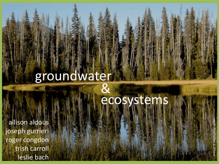
groundwater & ecosystems allison aldous
advertisement
groundwater & ecosystems upper deschutes: a aldous allison aldous joseph gurrieri roger congdon trish carroll leslie bach rivers wetlands mckenzie river: l bach sharon’s fen: l olson lakes springs wallowa lake: l bach mckenzie spring: d gusey blind blindelmid: elmid: m tomlinson m tomlinson darlingtonia: a hesterman lr sucker: t blake or spotted frog groundwater pumping irrigation municipal supply industry Statewide assessment of GDEs and threats Methods Guide for including groundwater in conservation plans Ecological Water Requirements (EWRs) “Intrinsic water requirements of ecological attributes of groundwater-dependent ecosystems” quantity (timing, volume) late season baseflow in streams perennial water supply in wetlands quality oligotrophic water supply cool water • TNC/USFS partnership • Develop and implement ecological water requirements (EWRs) • Pilot study in groundwater-dependent wetlands (fens) in the Fremont-Winema National Forest Ecological Water Requirements (EWRs) for fens Sustained groundwater discharge Water table close to land surface Plant & animal communities adapted to: • prolonged saturation • organic peat soils • frequent anoxic conditions • low nutrient availability Frequent sustained anoxia Peat accretion or maintenance Fens of the Fremont-Winema National Forest Fens of the Fremont-Winema Management context Ecological Water Requirements: Approach Premise: fen species and ecosystem processes respond most closely to the hydroperiod Measure plant & soil water table thresholds Maximum pumping rate that does not exceed water table threshold Model groundwater flow into the wetlands vary the pumping rate determine water table drawdown Johnson site set up measure along each transect: 1. depth to water table 2. head at 1m, 1.5m 3. plant species composition 4. peat depth Shallow hydrology, Johnson Fen, 2009-2010 water table piezometer at 1m piezometer at 1.5m Water table thresholds for indicator species 5 1. Obligate wetland plant 2. Widely distributed: found at all sites 3. Common: occurs in >10 plots/site depth to WT (cm) 0 -5 -10 Mean depth to WT Min depth to WT Max depth to WT -15 -20 Ecological Water Requirements: Approach Premise: wetland plants respond most closely to the hydroperiod (position of the water table) Measure plant & soil water table thresholds Maximum pumping rate that does not exceed water table threshold Model groundwater flow into the wetlands vary the pumping rate determine water table drawdown peat drawdown (20cm max) affected radius pumice water piped to trough Drilled well NW 32 groundwater dates 28-42 years likely recharge ~10km SE 31 Spring box J9 J1 Water table Vegetation plot wells Pumice J8 J7 Relative Elevation, meters 30 29 Peat 28 27 Discharge from bedrock Bedrock 26 0 20 40 60 Distance, meters 80 100 120 Hydrogeologic model • • • • • numerical superposition model (Modflow) 3 layers (peat, clay, pumice) 75 day pumping during dry season no recharge or ET applied boundary 1.5km from pumping well – outside edge is no-flow Conclusions 1. Plant WT threshold 15-20cm a. methods to set thresholds for peat accretion? 2. Pumping has no or limited effect on drawdown 3. Ecological Water Requirements – next steps a. b. c. d. more complex scenarios thresholds have potential to be exceeded field test in more sites methods for peat depths

