Place Matters: Geospatial Tools for Marine Science, Conservation, and Management in the Pacific
advertisement

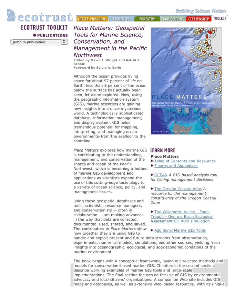
Jump to publication: Place Matters: Geospatial Tools for Marine Science, Conservation, and Management in the Pacific Northwest Edited by Dawn J. Wright and Astrid J. Scholz Foreword by Sylvia A. Earle Although the ocean provides living space for about 97 percent of life on Earth, less than 5 percent of the ocean below the surface has actually been seen, let alone explored. Now, using the geographic information system (GIS), marine scientists are gaining new insights into a once-mysterious world. A technologically sophisticated database, information-management, and display system, GIS holds tremendous potential for mapping, interpreting, and managing ocean environments-from the seafloor to the shoreline. Place Matters explores how marine GIS is contributing to the understanding, Place Matters management, and conservation of the Table of Contents and Resources shores and ocean of the Pacific Figures and Appendices Northwest, which is becoming a hotbed of marine GIS development and OCEAN A GIS-based analysis tool applications as scientists expand the for fishing management decisions use of this cutting-edge technology to a variety of ocean science, policy, and The Oregon Coastal Atlas A management issues. resource for the management constituency of the Oregon Coastal Using these geospatial databases and Zone tools, scientists, resource managers, and conservationists — often in The Willamette Valley - Puget collaboration — are making advances Trough - Georgia Basin Ecological in the way that data are collected, Assessment CD ROM simulation documented, used, shared, and saved. The contributors to Place Matters show Additional Marine GIS Tools how together they are using GIS to handle and exploit present and future data streams from observatories, experiments, numerical models, simulations, and other sources, yielding fresh insights into oceanographic, ecological, and socioeconomic conditions of the marine environment. The book begins with a conceptual framework, laying out selected methods and models for conservation-based marine GIS. Chapters in the second section describe working examples of marine GIS tools and large-scale implementations. The final section focuses on the use of GIS by environmental advocacy and local citizens’ organizations. A companion Web site includes GIS maps and databases, as well as extensive Web-based resources. With its unique focus on the use of GIS to solve marine conservation problems, Place Matters offers an important new resource for all who study and work to protect the world’s oceans. Details: Place Matters: Geospatial Tools for Marine Science, Conservation, and Management in the Pacific Northwest 7 x 10 inches. 272 pages and full-color maps. ISBN 0-87071-057-5. ©2005 Oregon State University Press, $29.95 + shipping Purchase YOU ARE HERE: Ecotrust.org >> Toolkit >> Publications >> Place Matters Ecotrust | Jean Vollum Natural Capital Center | Suite 200 | 721 NW Ninth Avenue | Portland, OR 97209 TEL 503.227.6225 | FAX 503.222.1517 | info@ecotrust.org | feedback


