Todd Wilson Mecklenburg County GIS Manager
advertisement
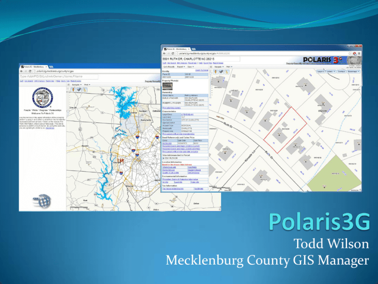
Todd Wilson Mecklenburg County GIS Manager Polaris 3G Overview 1. Third Generation Web Application 2. Property Maps Pre-tiled to improve draw speed and access 3. Same mapping features as the old Polaris System 4. New features include: a) Aerial Imagery Library (2009-2013) b) Google Street View Integration c) Bird’s Eye View Oblique Maps d) Links to more external apps such as Geoportal, Quality of Life Dashboard, 3D Floodzone, and Register of Deeds online documents (Old and New System). 5. Compatible with PC Desktop, Laptop, Tablet and Smartphone devices Demonstration Map Navigation Map Navigation Demo Map Display Map Display Demo Map Searches Map Search Demo Google StreetView and Bird’s Eye Google StreetView and Bird’s Eye Printing and Measure Tool Printing and Measure Tool Access to Recorded Deeds and Plats Access to Recorded Deeds and Plats Reports and More Information 1. Adjoining Owner’s Report for Surveyor’s Information 2. Property Information Summary Report 3. Links to Assessor’s Property Report, Tax Bill, GeoPortal, 3D Floodzone Application, and Quality of Life Dashboard applications. Reports and More Information POLARIS 3G IS SMARTPHONE FRIENDLY WITH IPHONES AND DROID PHONE DEVICES POLARIS 3G REFORMATS ITSELF TO THE DEVICE YOU MUST GOOGLE FOR POLARIS 3G ON YOUR PHONE TO LOCATE THE APP AND BOOKMARK IT ON YOUR PHONE Todd Wilson Mecklenburg County GIS Manager
