State of New Jersey
advertisement
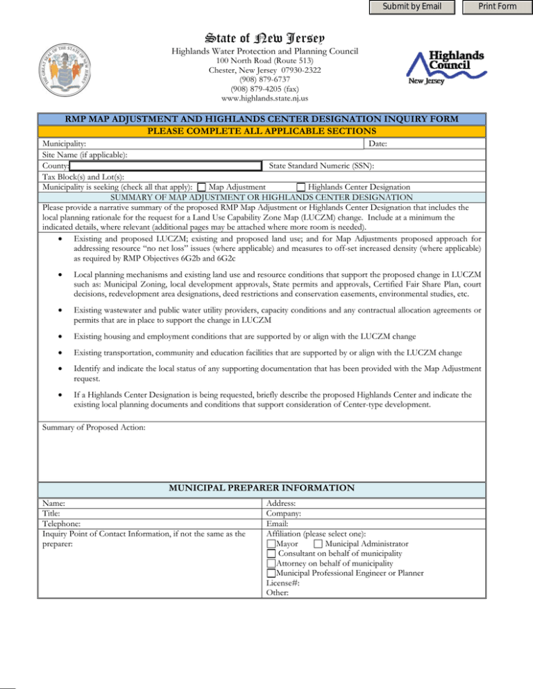
Submit by Email Print Form State of New Jersey Highlands Water Protection and Planning Council 100 North Road (Route 513) Chester, New Jersey 07930-2322 (908) 879-6737 (908) 879-4205 (fax) www.highlands.state.nj.us RMP MAP ADJUSTMENT AND HIGHLANDS CENTER DESIGNATION INQUIRY FORM PLEASE COMPLETE ALL APPLICABLE SECTIONS Municipality: Date: Site Name (if applicable): County: State Standard Numeric (SSN): Tax Block(s) and Lot(s): Municipality is seeking (check all that apply): Map Adjustment Highlands Center Designation SUMMARY OF MAP ADJUSTMENT OR HIGHLANDS CENTER DESIGNATION Please provide a narrative summary of the proposed RMP Map Adjustment or Highlands Center Designation that includes the local planning rationale for the request for a Land Use Capability Zone Map (LUCZM) change. Include at a minimum the indicated details, where relevant (additional pages may be attached where more room is needed). • Existing and proposed LUCZM; existing and proposed land use; and for Map Adjustments proposed approach for addressing resource “no net loss” issues (where applicable) and measures to off-set increased density (where applicable) as required by RMP Objectives 6G2b and 6G2c • Local planning mechanisms and existing land use and resource conditions that support the proposed change in LUCZM such as: Municipal Zoning, local development approvals, State permits and approvals, Certified Fair Share Plan, court decisions, redevelopment area designations, deed restrictions and conservation easements, environmental studies, etc. • Existing wastewater and public water utility providers, capacity conditions and any contractual allocation agreements or permits that are in place to support the change in LUCZM • Existing housing and employment conditions that are supported by or align with the LUCZM change • Existing transportation, community and education facilities that are supported by or align with the LUCZM change • Identify and indicate the local status of any supporting documentation that has been provided with the Map Adjustment request. • If a Highlands Center Designation is being requested, briefly describe the proposed Highlands Center and indicate the existing local planning documents and conditions that support consideration of Center-type development. Summary of Proposed Action: MUNICIPAL PREPARER INFORMATION Name: Title: Telephone: Inquiry Point of Contact Information, if not the same as the preparer: Address: Company: Email: Affiliation (please select one): Mayor Municipal Administrator Consultant on behalf of municipality Attorney on behalf of municipality Municipal Professional Engineer or Planner License#: Other: Municipality: Project Name: Date: Page: 2 PROPERTY INFORMATION1 Did the lot(s) lawfully exist as of August 10, 2004? 1 Yes No Acreage of area affected by proposal: Municipal Zoning Designation and description: Dwelling/Unit/Acre Value: Other: Floor Area Ratio Value: Description of existing and proposed uses and surrounding land uses: Additional Property Information: Identify any supporting documentation that the Highlands Council should review:2 1 If the affected parcel(s) is not represented or is not up to date in the Highlands Councils Geographic Information System, please complete the RMP Updates Form and coordinate parcel line adjustments with appropriate municipal and County departments. 2 If the Highlands Council website includes the correct existing information for the parcel(s) it is not necessary to submit supporting Property Information documentation. However, if supporting documentation is provided the spatial information must meet the RMP Updates Program details identified above. WASTEWATER UTILITY INFORMATION Identify the existing NJDEP approved wastewater provider (where applicable) pursuant to Water Quality Management Planning (N.J.A.C. 7:15) Rules. Include all of the following information to the extent that it is known or available. Facility Name: The parcel is currently served with wastewater treatment other Yes No than septic system: Discharge Type: Surface Ground NJPDES Permit No: Total Permitted Capacity in Million Gallons per Day (MGD): Current Available Capacity in Million Gallons per Day (MGD): Please identify any additional details or supporting documents for wastewater utility information: WATER SUPPLY UTILITY INFORMATION Identify the existing Potable Water purveyor capable of providing water service to the site (where applicable), pursuant to an NJDEP Approved Master Permit (N.J.A.C. 7:10-11.10), plus written local utility approval of the connection based upon the Master Permit; NJDEP Approved Initial or Renewal Physical Connection Permit (N.J.A.C. 7:10-10.5); Quarterly Physical Connection and Maintenance Report (N.J.A.C. 7:10-10.6); NJDEP Approved permit to construct or operate a new public community water system (7:10-11.5); NJDEP Approved certification of new, altered or replacement nonpublic or public noncommunity water systems (N.J.A.C. 7:10-12.39). Include all of the following information to the extent that it is known or available. Public Water System Identification Number (PWSID) : The parcel is currently supplied public water system: Yes No Purveyor Name: Total Water Supply in Million Gallons per Month (MGM): Total Water Demand in Million Gallons per Month (MGM): Please identify any additional details or supporting documents for public water utility information:
