IRC Environmental e-Science “One vision for future and in the Field
advertisement
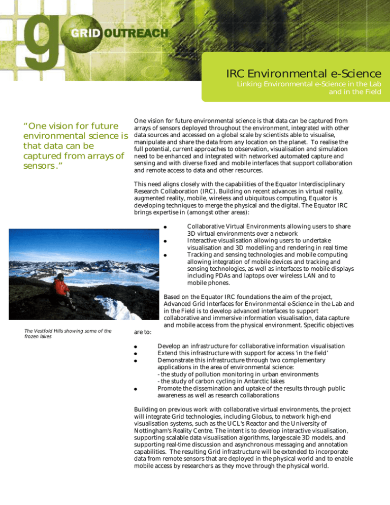
IRC Environmental e-Science Linking Environmental e-Science in the Lab and in the Field “One vision for future environmental science is that data can be captured from arrays of sensors .” One vision for future environmental science is that data can be captured from arrays of sensors deployed throughout the environment, integrated with other data sources and accessed on a global scale by scientists able to visualise, manipulate and share the data from any location on the planet. To realise the full potential, current approaches to observation, visualisation and simulation need to be enhanced and integrated with networked automated capture and sensing and with diverse fixed and mobile interfaces that support collaboration and remote access to data and other resources. This need aligns closely with the capabilities of the Equator Interdisciplinary Research Collaboration (IRC). Building on recent advances in virtual reality, augmented reality, mobile, wireless and ubiquitous computing, Equator is developing techniques to merge the physical and the digital. The Equator IRC brings expertise in (amongst other areas): ! ! ! Collaborative Virtual Environments allowing users to share 3D virtual environments over a network Interactive visualisation allowing users to undertake visualisation and 3D modelling and rendering in real time Tracking and sensing technologies and mobile computing allowing integration of mobile devices and tracking and sensing technologies, as well as interfaces to mobile displays including PDAs and laptops over wireless LAN and to mobile phones. Based on the Equator IRC foundations the aim of the project, Advanced Grid Interfaces for Environmental e-Science in the Lab and in the Field is to develop advanced interfaces to support collaborative and immersive information visualisation, data capture and mobile access from the physical environment. Specific objectives The Vestfold Hills showing some of the frozen lakes are to: ! ! ! ! Develop an infrastructure for collaborative information visualisation Extend this infrastructure with support for access 'in the field’ Demonstrate this infrastructure through two complementary applications in the area of environmental science: - the study of pollution monitoring in urban environments - the study of carbon cycling in Antarctic lakes Promote the dissemination and uptake of the results through public awareness as well as research collaborations Building on previous work with collaborative virtual environments, the project will integrate Grid technologies, including Globus, to network high-end visualisation systems, such as the UCL's Reactor and the University of Nottingham's Reality Centre. The intent is to develop interactive visualisation, supporting scalable data visualisation algorithms, large-scale 3D models, and supporting real-time discussion and asynchronous messaging and annotation capabilities. The resulting Grid infrastructure will be extended to incorporate data from remote sensors that are deployed in the physical world and to enable mobile access by researchers as they move through the physical world. Applications Environmental science in urban environments Modern cities face daunting problems of population density, transport management and regeneration with both economic and social aspects. Existing tools to understand the city, such as graphical modelling of the built environment, simulation and mapping of transport flows and pollution levels, tend to lead to isolated and relatively static models. The project is collaborating with the Centre for Advanced Spatial Analysis, the Departments of Geomatic Engineering and Geography, and the Bartlett School of Architecture and Planning at UCL to provide an integrated visualisation system that will allow presentation of models at the urban scale on a range of devices, from mobile PDA through to Reactor. A user physically present in the urban environment will be able to collect data and to work interactively with a remote colleague to visualise data concerning their common geographical area. Studying carbon cycling in Antarctic lakes Drilling ice to sample water beneath As a means to understand their delicate ecology - and whether it is changing a team at the University of Nottingham have been studying the movement of carbon through the ecosystem, and in particular the relationship between levels of carbon and the presence of plankton in eastern Antarctic freshwater lakes. As part of their work, data on the physical nature of the environment is collected during regular field excursions from the base at Davis to various lakes in the Vestfold Hills, one of the most hostile environments on the planet. By using Grid technology, data collection could be undertaken in a safer, more continuous and timely manner. Field sensors could be used to measure water depth, ice thickness, light, temperature and other conditions both above and below the surface. The data can also be integrated with other data sources, including existing databases of meteorological and UV data. Finally, the analysis and modelling will benefit from more powerful techniques and interfaces for visualising multiple datasets in real time. More widely the project is expected to contribute to real time modelling and visualisation in a wide range of industries, including financial services, industrial control and the retail sector. For further information contact Dr Chris Greenhalgh, email cmg@cs.nott.ac.uk
