Document 13168465
advertisement
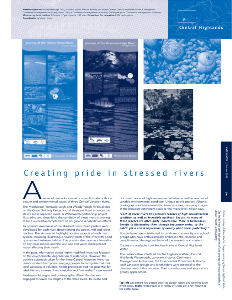
Partners/Sponsors Natural Heritage Trust, National Action Plan for Salinity and Water Quality. Central Highlands Water, Corangamite Catchment Management Authority, North Central Catchment Management Authority, Glenelg-Hopkins Catchment Management Authority. Monitoring Information 9 Groups, 17 participants, 107 sites. Education Participation 2524 participants. Coordinator Andrew Harris. C e n t ra l H i g h l a n d s WATERWATCH Victoria 2005 Creating pride in stressed rivers A series of new educational posters illustrate both the beauty and environmental issues of three Central Victorian rivers. In the past, information about highly modified rivers has focused on the environmental degradation of waterways. However, the positive approach taken for the three Central Victorian rivers has demonstrated that by encouraging people to recognise that their local waterway is valuable, needs protection and has potential for rehabilitation, a sense of responsibility and “ownership” is generated. Posters have been distributed to Landcare, community and school groups who have enthusiastically embraced the resource and complimented the regional focus of the research and content. Copies are available from Andrew Harris at Central Highlands Water. The collaborative efforts of Central Highlands Water, Central Highlands Waterwatch, Landcare Victoria, Catchment Management Authorities, the Environment Protection Authority, local Landcare groups and landholders were essential to the development of this resource. Their contributions and support are greatly appreciated. Freshwater biologist and photographer Alison Pouliot was engaged to travel the lengths of the three rivers, to locate and Top left and centre Two posters from the Woady Yaloak and Yarrowee-Leigh Rivers series. Right Photographs at a variety of scales are a key feature of the poster series. Photos courtesy of Alison Pouliot. Images courtesty of Central Highlands Water To promote awareness of the stressed rivers, three posters were developed for each river, documenting the upper, mid and lower reaches. The aim was to highlight positive aspects of each river system, including illustrating a healthy reach of the river with good riparian and instream habitat. The posters also capture information on key local species and the land use and water management issues affecting their health. “Each of these rivers has precious reaches of high environmental condition as well as incredible aesthetic beauty. As many of these reaches are often quite inaccessible, there is tremendous benefit in illustrating them through the poster series, so the public get a visual impression of exactly what needs protecting.” See inside front and back covers of this yearbook for more examples of Alison Pouliot’s photography. The Moorabool, Yarrowee-Leigh and Woady Yaloak Rivers all rise on the Great Dividing Range and all three are listed amongst the state's most impacted rivers. A Waterwatch-partnership project illustrating and describing the condition of these rivers is proving to be a successful complement to on-ground rehabilitation efforts. 7 document areas of high environmental value as well as reaches of variable environmental condition. Unique to this project, Alison's photographs and documentation traverse scales, capturing images at the broadest catchment scale to the micro level. Alison says,

