Columbus’ Compass Lesson Name: Grade Level: 6-7th Grade
advertisement
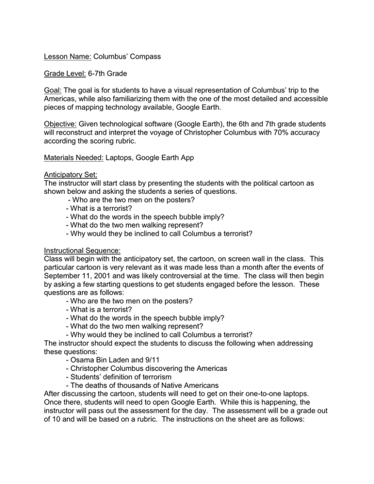
Lesson Name: Columbus’ Compass Grade Level: 6-7th Grade Goal: The goal is for students to have a visual representation of Columbus’ trip to the Americas, while also familiarizing them with the one of the most detailed and accessible pieces of mapping technology available, Google Earth. Objective: Given technological software (Google Earth), the 6th and 7th grade students will reconstruct and interpret the voyage of Christopher Columbus with 70% accuracy according the scoring rubric. Materials Needed: Laptops, Google Earth App Anticipatory Set: The instructor will start class by presenting the students with the political cartoon as shown below and asking the students a series of questions. - Who are the two men on the posters? - What is a terrorist? - What do the words in the speech bubble imply? - What do the two men walking represent? - Why would they be inclined to call Columbus a terrorist? Instructional Sequence: Class will begin with the anticipatory set, the cartoon, on screen wall in the class. This particular cartoon is very relevant as it was made less than a month after the events of September 11, 2001 and was likely controversial at the time. The class will then begin by asking a few starting questions to get students engaged before the lesson. These questions are as follows: - Who are the two men on the posters? - What is a terrorist? - What do the words in the speech bubble imply? - What do the two men walking represent? - Why would they be inclined to call Columbus a terrorist? The instructor should expect the students to discuss the following when addressing these questions: - Osama Bin Laden and 9/11 - Christopher Columbus discovering the Americas - Students’ definition of terrorism - The deaths of thousands of Native Americans After discussing the cartoon, students will need to get on their one-to-one laptops. Once there, students will need to open Google Earth. While this is happening, the instructor will pass out the assessment for the day. The assessment will be a grade out of 10 and will be based on a rubric. The instructions on the sheet are as follows: Students, just as Columbus did in the 1492 and beyond, we will be exploring the Atlantic Ocean and Middle America. Your goal today is to find the routes Columbus took during his voyages, explain why each trip was important, and recreate Columbus’ route on Google Earth by creating a pathway or making a video journey around the islands he visited. You will need to create a Word document and explain the importance of each of Columbus’ voyages. This should be 1/2 of a page to 1 page long. What You’ll Submit to Me In Your Folder - Word document explaining Columbus’ Voyages - Video or map displaying Columbus’ island hopping You’ll have until tomorrow at the beginning of class to have them submitted to your folder. You will be graded according to this rubric and one bonus point will be added for participation in class today. Category 0-1 Point Not Done/Needs Improvement 2 Points Average 3 Points Meets All Expectations Word Document Map/Video Accuracy The students will be required to use Google Earth to do their research. Using Google Earth, the students will be able to do tours of relevant cities and find potential sources for their research. Because the students are at the middle school level, it is entirely likely that they will need prompting. For the purpose of this exercise, students will not be given specific websites to go to, but instead, they will be given key words that can be a jump start for their search. These words include the following: Columbus Museum, Lisbon, Isabella and Ferdinand. By the end of class, the instructor should remind students to be log off of their computers and save their progress. Sufficient time will be provided for any questions students may have. National Geography Standards: Standard 17.1. - Using Geography to Interpret the Past - A historical event is influenced by the geographic context in which it occurred Formative Evaluation: Students will be assessed in class on their participation in the activity. This will be apparent as the instructor is walking around and constantly evaluating their engagement. If students are not doing their work during class they will not receive participation points as explained in the rubric. Assessment: The assessment of the students will be based on the rubric as displayed in the instructional sequence section. Links: http://d1jrw5jterzxwu.cloudfront.net/sites/default/files/uploads/2012/10/columbus-daycartoon-featured.jpg
