Unlocking the Mysteries of Venus’ Atmosphere:
advertisement
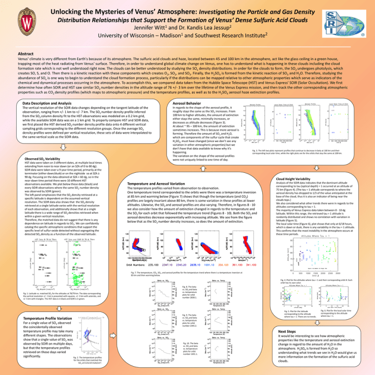
Unlocking the Mysteries of Venus’ Atmosphere: Investigating the Particle and Gas Density Distribution Relationships that Support the Formation of Venus’ Dense Sulfuric Acid Clouds 1 Witt 2 Jessup Jennifer and Dr. Kandis Lea 2 1 University of Wisconsin – Madison and Southwest Research Institute Abstract Venus' climate is very different from Earth's because of its atmosphere. The sulfuric acid clouds and haze, located between 45 and 100 km in the atmosphere, act like the glass ceiling in a green house, trapping most of the heat radiating from Venus' surface. Therefore, in order to understand global climate change on Venus, one has to understand what is happening in these clouds including the cloud formation rate which is not well understood right now. The clouds can be better understood by studying the SOx density distributions. In order for the clouds to form, the SO2 undergoes photolysis, which creates SO, S, and O. Then there is a kinetic reaction with these components which creates O2, SO2, and SO3. Finally, the H2SO4 is formed from the kinetic reaction of SO3 and H2O. Therefore, studying the abundance of SOx is one way to begin to understand the cloud formation process, particularly if the distributions can be mapped relative to other atmospheric properties which serve as indicators of the chemical and dynamical processes occurring in the atmosphere. To accomplish this, we compared data taken from the Hubble Space Telescope (HST) and Venus Express' SOIR (Solar Occultation). We first determine how often SOIR and HST saw similar SO2 number densities in the altitude range of 76 +/- 3 km over the lifetime of the Venus Express mission, and then track the other corresponding atmospheric properties such as CO2 density profiles (which maps to atmospheric pressure) and the temperature profiles, as well as to the H2SO4 aerosol haze extinction profiles. Data Description and Analysis Aerosol Behavior The vertical resolution of the SOIR data changes depending on the tangent latitude of the observation, ranging from +/- 1 km to +/- 7 km. The SO2 number density profile inferred from the SO2 column density fit to the HST observations was modeled on a 0.2 km grid, while the available SOIR data was on a 1 km grid. To properly compare HST and SOIR data, we first placed the HST derived SO2 number density profile data onto 4 different vertical sampling grids corresponding to the different resolution groups. Once the average SO2 density profiles were defined per vertical resolution, these sets of data were interpolated to the same vertical scale as the SOIR data. In regards to the shape of the aerosol profile, it roughly stays the same as the SO2 increases. From 100 km to higher altitudes, the amount of extinction either stays the same, minimally increases, or decreases as altitude decreases (Figure 3). At about ~ 95 – 100 km, the amount of extinction sometimes increases. This is because more aerosol is forming. Therefore the amount of SO3 and H2O, which are components of the sulfur cycle that create H2SO4, must have changed (since we don’t see any variation in other atmospheric properties) but we don’t have that data available to know why it’s happening. The variation on the shape of the aerosol profiles were not uniquely linked to one time of day. Observed SO2 Variability HST data were taken on 3 different dates, at multiple local times extending from noon to near dawn (or an SZA of 0 to 80 dg). SOIR data were taken over a 9 year time period, primarily at the terminator (either dawn/dusk) or on the nightside so at SZA ≥ 90 dg. Focusing on the data obtained at SZA > 60 dg, so in the near-dawn time period there were 10 different HST observations available. We plot below these data (black) and every SOIR observations where the same SO2 number density was observed by SOIR (green). The left panel emphasizes that the SO2 density retrieved at a specific latitude is dependent on the assumed vertical resolution. The SOIR data also shows that the SO2 density retrieved at a single latitude varies with the vertical resolution of each observation, and additionally shows that at a single latitude there is a wide range of SO2 densities retrieved when within a given vertical resolution. Therefore, the matched data do not suggest that there is any dependence on latitude in regards to SO2. We can confidently catalog the specific atmospheric conditions that support the specific level of sulfur-oxide detected without segregating the detected SO2 density as a function of the observed latitude. Fig. 3. The left two plots represent profiles that continue to decrease in beta at 100 km and their corresponding local solar time, while the right plots are for the orbits that stay the same at 100 km. Cloud Height Variability Temperature and Aerosol Variation The temperature profiles varied from observation to observation. One temperature trend corresponded to the orbits were there was a temperature inversion at 85 km and warming below (Figure 7) shows that though the temperature (and CO2) profiles are largely invariant above 80 km, there is some variation in these profiles at lower altitudes. Likewise, the SO2 and aerosol profiles are also varying. Therefore, in figures 8 - 10 we also consider how the amount of extinction changed in regards to the temperature and the SO2 for each orbit that followed the temperature trend (Figures 8 - 10). Both the SO2 and aerosol densities decrease exponentially with increasing altitude. We see from the figure below that as the SO2 number density increases, so does the amount of extinction. Analysis of the SOIR data indicates that the dominant altitude corresponding to tau (optical depth) = 1 occurred at an altitude of 75 km (Figure 4). (The tau = 1 altitude corresponds to where the aerosol density has dropped to 1/3 of the value anticipated at the base of the cloud, thus it is also an indicator of being near the clouds tops.) We also considered what other trends there were in regards to the altitudes corresponding to tau = 1. The majority of Venus Express data taken between 0 - 10 dg latitude. Within this range, the retrieved tau = 1 altitude is randomly distributed and shows no correlation with variation in latitude (Figure 5). The local solar time (Figure 6), plot shows that only at 6/18 hours, which is dawn or dusk, there is any variability in the tau = 1 altitude. This confirms that the most instability in the atmosphere occurs at these time periods. Fig. 7. The temperature, CO2, SO2, and aerosol profiles for the temperature trend where there is a temperature inversion at 85 km and then warming below. Fig. 4. Plot for the altitudes where tau = 1 and their corresponding orbit #. Each orbit has its own color. Fig. 1. Latitude vs. matched SO2 for the altitudes at 78/79 km. The data corresponding the vertical resolution +/- 1 km is presented with squares, +/- 3 km with asterisks, and +/- 5 km with triangles. The HST data is in black and SOIR is in green. Temperature Profile Variation For a single value of SO2 observed the coincidentally observed temperature profile may take many different shapes. The observations show that a single value of SO2 was observed by SOIR on multiple days, but that the temperature profiles retrieved on those days varied significantly. Fig. 2. The temperature profiles for the orbits that matched the SO2 at 0.21e10 mole/cm3. Fig. 8. The beta vs. SO2 and beta vs. temperature plots for orbit number 2838.1. Fig. 9. The beta vs. SO2 and beta vs. temperature plots for orbit number 2345.2. Fig. 5. Plot for the latitude corresponding to the altitude where tau = 1. There are no trends. Fig. 6. Plot for the local solar time corresponding to the altitude where tau = 1. Next Steps Fig. 10. The beta vs. SO2 and beta vs. temperature plots for orbit number 1691.1. It would be interesting to see how atmospheric properties like the temperature and aerosol extinction change in regard to the amount of H2O in the atmosphere. H2SO4 is formed from H2O so understanding what trends we see in H2O would give us more information on the formation of the sulfuric acid clouds.
