Impacts of climate change on greater sage - grouse populations in the
advertisement
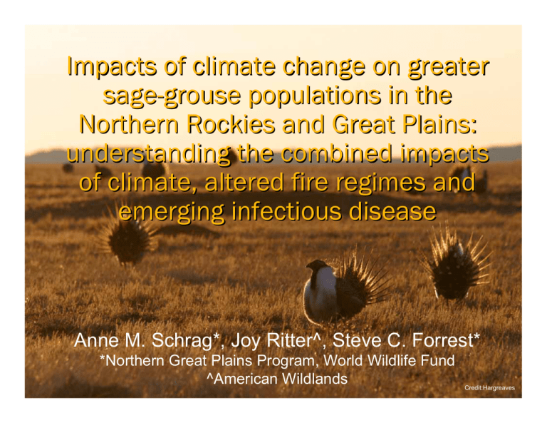
Impacts of climate change on greater sage-grouse populations in the Northern Rockies and Great Plains: understanding the combined impacts of climate, altered fire regimes and emerging infectious disease Anne M. Schrag*, Joy Ritter^, Steve C. Forrest* *Northern Great Plains Program, World Wildlife Fund ^American Wildlands Credit:Hargreaves Greater sage grouse Credit: Cox Long-lived (3-6 yrs) with low reproductive rates (6-9 eggs/clutch) and low overwinter mortality (2-20%) Regional declines between 17-47% Currently occupy 56% of historic range Very little sagebrush formally protected Petitioned for listing numerous times under ESA Threats to sage-grouse habitat Changing fire regimes Exotic plant invasions Land-use change y Conversion to agriculture y Urbanization y Energy development ○ Current restrictions: 0.4km ○ Effective impact: ~3.2km Infectious disease y West Nile virus: 2.4-13.3% mortality Climate change Credit: sagebrushsea.org Objectives How will the spatial distribution of Wyoming big sagebrush (Artemisia tridentate v. wyomingensis) and silver sagebrush (Artemisia cana) change under various climate-change scenarios? How will climate change impact fire regimes, and what will be the resultant impacts on the distribution of shrublands versus grasslands? How will climate change impact the occurrence of West Nile virus? Credit: Cox Species distribution models Sagebrush point data (presence only): LANDFIRE Program Current climate data: PRISM y seasonal and annual avg temp and total precip Future climate data: WCRP CMIP3 y A1B scenario y 6 models at three time steps: 2030, 2070, 2099 MAXENT Estimate species distribution by assuming that it must agree with all known constraints and without imposing any unwarranted constraints Find the distribution that is “closest to uniform” Use background points to represent suite of environmental conditions within the study area Project this distribution using future climate scenarios Test against null model AUC to ensure that model results are different from random MAXENT Parameters chosen y 75:25 train-test split (want to know ability of model to predict independent test data, e.g., future climate scenarios) y 10,000 background pts y Presences pts: ○ ARTCAN: 973 ○ ARTTRI: 1160 y Used only linear, quadratic and hinge features due to evidence of overfitting when using auto-features option with >79 samples Null model testing y Built null model of random pts ○ Sample size * 999 iterations (for each species) y Developed a frequency histogram of AUC values from these 999 runs y Compare AUC values from model to AUC value distribution from null model Model validation & conclusions July precip contributed most to model: y ARTCAN: 49.4% y ARTTRI: 50.1% Model AUC fell outside the 95% confidence interval y ARTCAN: .912 (train), .903 (test) y ARTTRI: .923 (train), .895 (test) y 95% CI: .592 Significantly different from random model Sagebrush species move in heterogeneous ways across landscape Highly dependent on precipitation regime Possible shift to silver sagebrush in some areas Climate, fire and sagebrush Shifts in sagebrush vs grassland likely with changing fire regimes y Increased fire frequencyÆfavors grasslands y Increased cover of exotic grassesÆfavors increased fire frequency TELSA/VDDT landscape simulation model y Vegetation succession, disturbance and management Ignites and spreads fires annually based on following parameters: y Land cover y Human use (Wildland-Urban Interface) y Historic fire data (ignition locations, size) Then builds vegetation based on potential vegetation types Model development Inputs: LANDFIRE sagebrush map, 20-year repeated fire regime, WUI-SILVIS lab (2000 Census data) Trend developed between current climate and fire occurrence and size Then re-examined using future climate scenarios and applying trends at three future time steps: 2030, 2070, 2099 Does not incorporate invasive species (lack of consistent data across study area) Used model outputs to adjust sagebrush map based on successional structure (where early successional structure=<5% sagebrush and is likely grassland type) Model results 102-148% change in fire frequency and extent with UKMO scenario Decrease of ~5 million hectares of sagebrush by 2099 Likely due to increase in frequency of fires UKMO Climate Model: Change in Ha of Sagebrush Vegetation Millions Ha 20 15 10 5 0 2008 2030 2070 Years 2100 Caveats & improvements Pulses at future time steps y Model likely underestimating decrease Resolution of climate data/availability of variables Time series of future climate Incorporate invasive species data (cheatgrass) Incorporate changes to future fire regimes Incorporate growth scenarios West Nile virus modeling Sage grouse move to water earlier during drought y Increased infection rates y Increased standing water due to CBM development ArcGIS .NET degree-day model Estimates WNv potential using spatially explicit weather station data Identifies completion of Extrinsic Incubation Period for the virus (=time it takes for the virus to reach infectivity) West Nile virus modeling Temperature threshold for Culex tarsalis=14.3°C with EIP for transmission=109°C/day Uses preceding 12 days of temp data to calculate accumulated degree days and determine whether the threshold has been exceeded If labeled yes, then WNv transmission is supported at that location Data inputs y Daily tmax and tmin data from 54 locations across MT and WY for June-Sept y Future data: Tavg calculated for current data, compared to Tavg from future 12-km resolution data, difference added to (or subtracted from) Tmax and Tmin for 2007 to show spatial variation in changes Conclusions As magnitude of temperature change increases, likely to see increased occurrence of WNv, particularly in northern Rockies WNv is likely to spread to areas of best sage-grouse habitat Areas of best sage-grouse habitat overlap with areas of intensive energy development Submit to new listing decision Acknowledgements HP and WWF Climate Adaptation Program Karen Short: LANDFIRE Program Sarah Olimb: American Wildlands Scott Miller and Sarah Konrad: Univ of Wyoming Spatial Analysis of Watershed and Landscape Systems Group
