C : \ P r o g r a m ... Q d r o D Q d f o D
advertisement
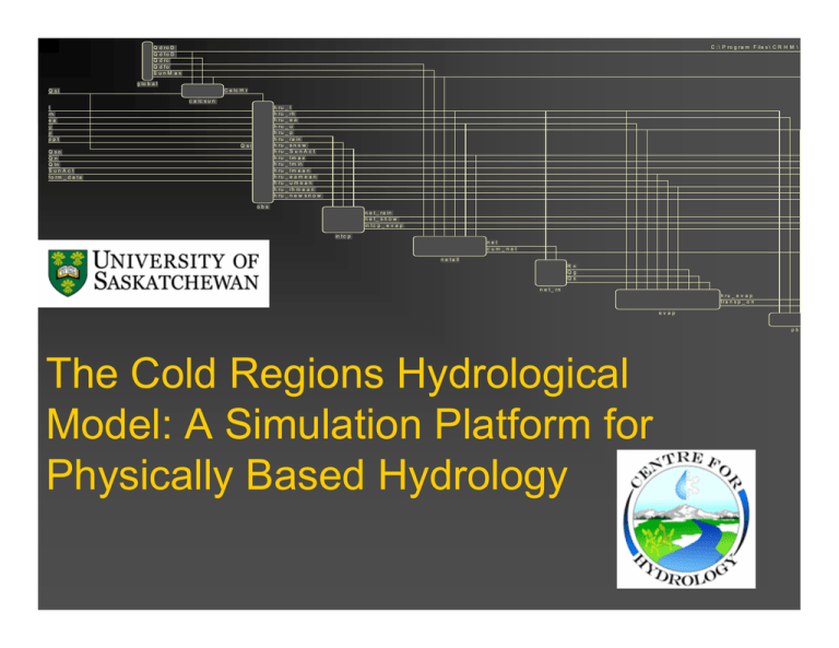
C : \ P r o g r a m F ile s \ C R H M \ Q d ro D Q d fo D Q d ro Q d fo SunM ax g lo b a l C a lc H r Q si c a lc s u n h h h h h h h h h h h h h h h t rh ea u p ppt Q si Q so Q n Q ln SunAct f o rm _ d a t a ru ru ru ru ru ru ru ru ru ru ru ru ru ru ru _ _ _ _ _ _ _ _ _ _ _ _ _ _ _ t rh ea u p r a in sn o w SunAct tm a x t m in tm e a n eamean umean rh m e a n n e w sn o w obs n e t _ r a in n e t_ s n o w in t c p _ e v a p in t c p net c um_net n e t a ll R n Q g Q s n e t _ rn h ru _ e v a p t ra n s p _ o n evap pb The Cold Regions Hydrological Model: A Simulation Platform for Physically Based Hydrology Objective To develop a hydrological cycle simulation system that: is distributed such that the water balance for selected surface areas can be computed; is sensitive to the impacts of land use and climate change; does not require the presence of a stream in each land unit; is flexible: can be compiled in various forms for specific needs; is suitable for testing individual process algorithms. DOES NOT REQUIRE CALIBRATION! Cold Regions Hydrological Model DATA COMPONENT Preparation of spatial and meteorological data. Spatial data (e.g. basin area, elevation, cover type) is analyzed using a Geographic Information System (GIS) interface that assists the user in basin delineation, characterization and parameterization of Hydrological Response Units (HRU). Time-series meteorological data include air temperature, humidity, wind speed, precipitation and radiation. Adjustments for elevation (lapse rate), snowfall versus rainfall, interpolation between input observations (stations) Unit conversions to consistent SI units Cold Regions Hydrological Model MODEL COMPONENT Utilizes Windows-based series of pull-down menus linked to the system features. Modules, or process algorithms, are selected from the library and grouped together by the CRHM processor. Modules have a set order of execution with a common set of variables and parameters. Modules are created in C++ programming language. Macro modules can be created from within the model using a simple macro language. Cold Regions Hydrological Model ANALYSIS COMPONENT Used to display, analyze and export results (Excel, ASCII). Statistical and graphical tools are used to analyze model performance, allowing for decisions to be made on the best modelling approach. Sensitivity-analysis tools are provided to optimize selected model parameters and evaluate the effects of model parameters on simulation results. Mapping tools use ArcGIS files to map ouputs for geographical visualization. CRHM GIS Interface The interface automates the parameterization of CRHM. Uses TOPAZ and ARC/INFO AML coding to divide the watershed into sub-basins. Each sub-basin is defined as a polygon with drainage information, ID, and can be assigned other parameters. The next step is to link the sub-basin to other spatial information (land cover, fetch, etc.) in order to derive relevant HRU’s. CRHM Module Development DATA ASSIMILATION Data from multiple sites Interpolation to the HRUs PROCESSES SPATIAL PARAMETERS Basin and HRU parameters are set. (area, latitude, elevation, ground slope, aspect) Infiltration into soils (frozen and unfrozen) Snowmelt (prairie & forest) Radiation Wind flow over hills Evapotranspiration Snow transport Interception (snow & rain) Sublimation (dynamic & static) Soil moisture balance Runoff, interflow Routing (hillslope & channel) Sub-arctic alpine tundra Water Balance Wolf Creek-Alpine 1998/99 250 200 mm 150 CRHM Runo ff CRHM Sno wfall CRHM Infiltratio n CRHM M elt CRHM Gro und SWE M easured M elt M easured SWE 100 50 0 -50 -100 22-Sep 11-Nov 31-Dec 19-Feb 10-Apr 30-May Boreal forest clearing mm Water Balance Bittern Creek-Clearcut 1996/97 300 250 200 150 100 50 0 -50 -100 -150 -200 -250 12-Oct CRHM Runo ff CRHM Sno wfall CRHM Infiltratio n CRHM M elt CRHM Gro und SWE M easured M elt M easured SWE 1-Dec 20-Jan 11-Mar 30-Apr Prairie wheat field Water Balance Creighton-Stubble 1981/82 200 150 mm 100 50 CRHM Runo ff CRHM Sno wfall CRHM Infiltratio n CRHM M elt CRHM Gro und SWE M easured M elt M easured SWE 0 -50 -100 -150 10-Nov 20-Dec 29-Jan 10-Mar 19-Apr
