ReseaRch Surveying Noxious Weeds in Roadway Rights-of-Way
advertisement
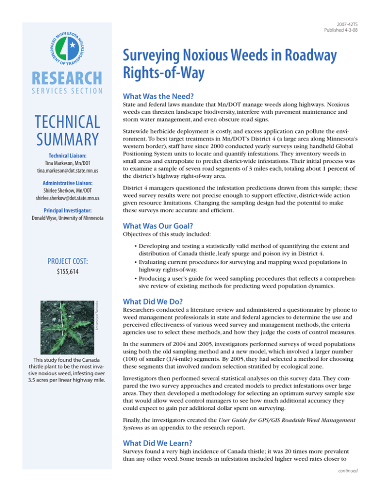
2007-42TS Published 4-3-08 Research Services section Technical Summary Technical Liaison: Tina Markeson, Mn/DOT tina.markeson@dot.state.mn.us Administrative Liaison: Shirlee Sherkow, Mn/DOT shirlee.sherkow@dot.state.mn.us Principal Investigator: Donald Wyse, University of Minnesota Surveying Noxious Weeds in Roadway Rights-of-Way What Was the Need? State and federal laws mandate that Mn/DOT manage weeds along highways. Noxious weeds can threaten landscape biodiversity, interfere with pavement maintenance and storm water management, and even obscure road signs. Statewide herbicide deployment is costly, and excess application can pollute the environment. To best target treatments in Mn/DOT’s District 4 (a large area along Minnesota’s western border), staff have since 2000 conducted yearly surveys using handheld Global Positioning System units to locate and quantify infestations. They inventory weeds in small areas and extrapolate to predict district-wide infestations. Their initial process was to examine a sample of seven road segments of 3 miles each, totaling about 1 percent of the district’s highway right-of-way area. District 4 managers questioned the infestation predictions drawn from this sample; these weed survey results were not precise enough to support effective, district-wide action given resource limitations. Changing the sampling design had the potential to make these surveys more accurate and efficient. What Was Our Goal? Objectives of this study included: • Developing and testing a statistically valid method of quantifying the extent and distribution of Canada thistle, leafy spurge and poison ivy in District 4. • Evaluating current procedures for surveying and mapping weed populations in highway rights-of-way. • Producing a user’s guide for weed sampling procedures that reflects a comprehensive review of existing methods for predicting weed population dynamics. Project cost: University of Nebraska $155,614 This study found the Canada thistle plant to be the most invasive noxious weed, infesting over 3.5 acres per linear highway mile. What Did We Do? Researchers conducted a literature review and administered a questionnaire by phone to weed management professionals in state and federal agencies to determine the use and perceived effectiveness of various weed survey and management methods, the criteria agencies use to select these methods, and how they judge the costs of control measures. In the summers of 2004 and 2005, investigators performed surveys of weed populations using both the old sampling method and a new model, which involved a larger number (100) of smaller (1/4-mile) segments. By 2005, they had selected a method for choosing these segments that involved random selection stratified by ecological zone. Investigators then performed several statistical analyses on this survey data. They compared the two survey approaches and created models to predict infestations over large areas. They then developed a methodology for selecting an optimum survey sample size that would allow weed control managers to see how much additional accuracy they could expect to gain per additional dollar spent on surveying. Finally, the investigators created the User Guide for GPS/GIS Roadside Weed Management Systems as an appendix to the research report. What Did We Learn? Surveys found a very high incidence of Canada thistle; it was 20 times more prevalent than any other weed. Some trends in infestation included higher weed rates closer to continued “We can now walk 225 feet instead of a quarter mile to collect the data we need to determine the extent of our weed problem, which herbicides to use, and how to distribute them for the most effective treatment.” –Tina Markeson, Mn/DOT Senior Natural Resource Forestry Specialist To survey the 3-mile segments, Mn/DOT staff drove around the perimeter of each weed patch in all-terrain vehicles with GPS units. roadways, with rates declining toward the fence line, and generally higher infestations in areas near row crops as compared to other types of ground cover. The data collected using the two sampling methods yielded these findings: “Once we know where the major noxious weeds are found, we can develop new, robust management techniques that will reduce the cost of management of invasive species in roadsides throughout the state.” The statistical analysis predicted that surveying 1/20-mile segments would be even more efficient for District 4’s needs than the 1/4-mile method. Additional analysis suggested that still smaller sizes may be even more efficient. –Donald Wyse, Researchers provided recommendations for subsequent years’ sampling; the User Guide details steps for determining the sample and performing surveys. Professor, University of Minnesota Department of Agronomy and Plant Genetics Produced by CTC & Associates for: Minnesota Department of Transportation Research Services Section MS 330, First Floor 395 John Ireland Blvd. St. Paul, MN 55155-1899 (651) 366-3780 www.research.dot.state.mn.us • The new sampling method (using numerous 1/4-mile sites) was much more precise, as indicated by much smaller variances of mean-infestation-per-mile values among the samples for the new method as compared to the old. • The mean-infestation values generated for the older method were within one standard deviation of those obtained with the new method. • The new method, which included an effort to sample all of the district’s ecozones, found substantially varied weed populations among these zones; this data will allow the district to focus its resources better. What’s Next? An implementation effort is ending this year to verify the efficacy of using one hundred 225-foot sample segments; results for the summer of 2007 showed these to be sufficiently accurate. Over the next one to two summers, investigators plan to test the viability of weed presence/absence sampling on 14-foot segments; this could provide adequate infestation data for a fraction of the surveying cost. Three more districts will employ these survey methods in 2008; if they are successful, the rest will follow suit in 2009. The next step in the overall weed control effort is to improve management strategies for each type of weed. District managers will use survey data to set specific goals for weed reduction, refining an integrated strategy that involves both chemical applications and the introduction of a diverse mix of native grasses. This Technical Summary pertains to Report 2007-42, “Management Practices for Weed Control in Roadway Rights-of-Way,” published October 2007. The full report can be accessed at http://www.lrrb.org/PDF/200742.pdf.
