RECLAIMED AREAS MAPPING BY REMOTELY SENSED DATA
advertisement
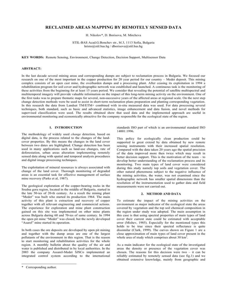
RECLAIMED AREAS MAPPING BY REMOTELY SENSED DATA H. Nikolov*, D. Borisova, M. Mircheva STIL-BAS Acad.G.Bonchev str., bl.3, 1113 Sofia, Bulgaria hristo@stil.bas.bg / dborisova@stil.bas.bg KEY WORDS: Remote Sensing, Environment, Change Detection, Decision Support, Multisensor Data ABSTRACT: In the last decade several mining areas and corresponding dumps are subject to reclamation process in Bulgaria. We focused our research on one of the most important in the copper production for 20 year period for our country – Medet deposit. This mining complex consists of an open cast mine, the overburden dumps and a processing plant. After ceasing its exploitation in 1994 a rehabilitation program for soil cover and hydrographic network was established and launched. A continuous task is the monitoring of these activities from the beginning for at least 15 years period. We consider that revealing the potential of satellite multispectral and multitemporal imagery will provide valuable information on the impact of this long-term mining activity on the environment. One of the first tasks was to prepare thematic maps for several, non-successive years of the affected areas at regional scale. On the next step change detection methods were be used to assist in short-term reclamation plans preparation and planting corresponding vegetation. In this research the data from Landsat TM/ETM+ combined with in-situ measured data was used. For data processing several techniques, both standard, such as basic and advanced statistics, image enhancement and data fusion, and novel methods for supervised classification were used. The results obtained show that used data and the implemented approach are useful in environmental monitoring and economically attractive for the company responsible for the ecological state of the region. 1. INTRODUCTION The methodology of widely used change detection, based on digital data, is the process related to the changes of the landcover properties. By this means the changes in the land cover between two dates are highlighted. Change detection has been used in many applications such as land-use changes, rate of deforestation, urban areas alteration implementing remotely sensed data along with spatial and temporal analysis procedures and digital image processing techniques. The exploitation of mineral resources is always associated with change of the land cover. Thorough monitoring of degraded areas is an essential task for effective management of surface mine recovery (Parks et al, 1987). The geological exploration of the copper-bearing rocks in the Sredna gora region, located in the middle of Bulgaria, started in the late 50-ies of 20-th century. As a result the mining plant “Medet” was built who started its production 1964. The main activity of this plant is extraction and recovery of copper together with all relevant engineering and commercial actions. The experience for exploration and mine plant construction gained on this site was implemented on other mine plants across Bulgaria during 60 and 70-ies of same century. In 1994 the open pit mine “Medet” was closed, but the newly developed “Asarel” mine started its operation. In both cases the ore deposits are developed by open pit mining and together with the dump areas are one of the largest pollutants of the environment in this region. That is the reason to start monitoring and rehabilitation activities for the whole region. A monthly bulletin about the quality of the air and water is published and distributed in by local authorities. In the 2003 the company Assarel-Medet SJSCo implemented an integrated control system according to the international * Corresponding author. standards ISO part of which is an environmental standard ISO 14001:1996. This policy for ecologically clean production could be supported to great extend by data obtained by new remote sensing instruments with their increased spatial resolution. Compared with the data taken 20 years ago the spatial precision of the data improved more then twice which may result in better decision support. This is the motivation of the team – to develop better understanding of the reclamation process and its monitoring. Two main types of land cover were considered during this study namely top soils and vegetation cover. The other natural phenomena subject to the negative influence of the mining activities, the water, was not examined since the hydrographic network has smaller spatial dimensions than the resolution of the instrumentation used to gather data and field measurements were not carried out. 2. METHOD AND DATA To estimate the impact of the mining activities on the environment as major indicator of the ecological state the areas covered by vegetation and the top soil chemical composition in the region under study was adopted. The main assumption in this case is that using spectral properties of main types of land cover their current state could be estimated with acceptable error (Mishev, 1985). Especially for the mentioned types this holds to be true since their spectral reflectance is quite dissimilar (Clark, 1999). The curves shown on Figure 1 are a close approximation of main types of land cover present in the whole area of study which comprises about 30 km2. As a main indicator for the ecological state of the investigated areas the density or presence of the vegetation cover was chosen. The reasons for this decision were two – it can be reliably estimated by remotely sensed data (see fig.1) and we obtained extensive knowledge, mainly from geographic and The International Archives of the Photogrammetry, Remote Sensing and Spatial Information Sciences, Vol. 34, Part XXX ordnance surveying sources, about the state of these areas before the exploitation had started. 60 green vegetation 0,6 40 granite 0,5 alluvial soil 0,4 30 reflectance reflectance, % 50 interest, shown on Figure 2, are close to these ones obtained by other researchers after laboratory measurements (Clark, 1993). For this study we could not obtain our own samples neither from the open pit neither from the dump. This fact allowed us to make only a general estimation about the mineral composition of the ore/dump material comparing it with similar ones from other deposits (see Figure 3). 20 10 chalcopyrite 0 chalcopyrite sandy loam 0,3 0,2 0,1 440 540 640 740 840 1 wavelength, nm Figure 1. Generalised spectral reflectance curves for four major types of land cover (adapted from Mishev, 1985) The main source for airborne data for the spectral reflectance of the land cover was the freely available data sets from Landsat TM/ETM+ instrument (GLCF, 2005). The acquisition dates for both scenes are in first decade of June which guarantees equal illumination conditions and phenological state of the vegetation. Since the region under study falls into edges of two adjacent scenes from different dates of year 1987 (path183/row30 and path183/row31 of WRS of Landsat) first a mosaic of them was made and a subset of this data was produced. After this procedure the geometric and radiometric properties were not distorted which resulted in correct data. From this dataset the two target areas (open mine and dumps) were extracted by their visual discrimination from the surroundings. The same procedure was applied on data from year 2000. This way the data necessary for change detection procedure were created. The accuracy of the digital numbers comprising these data sets was verified comparing them with laboratory reference reflectance spectra of the similar types of land cover acquired in a field campaign. Even in case of mixed pixels (which is the case for pixels from the borders of the areas) implementing the methodology of the unmixing theory (Borisova, 2005) on the data the vegetation/soil proportion was determined easily thus increasing the precision in determining the areas covered by a specific end-member (mine, dump, vegetation). This approach was implemented in our research eliminating more than 15% of incorrectly taken pixels for dump sites and 8% for the mine region. 3. RESULTS AND DISCUSSION The multispectral airborne data from TM/ETM+ instruments were used through this study. In fact they represent mixed pixels containing reflectance from at least two components soils and Cu-bearing minerals embedded in granites and volcanic rocks. The spectral reflectance curves of the classes of 0 0,2 1,2 2,2 wavelength, μm 3,2 Figure 2. Spectral reflectance curves of the classes of interest On the next step NDVI values for the pixels covering the areas of interest were calculated (Crippen, 1990). Based on them the edges of both regions were accordingly corrected once again. In the table below, for both open pit and dumps, the number of pixels and the corresponding areas are given. The results for both areas are quite different since the main mining activities from year 1987 was turned to the deep exploration the deposits. The observed change in the landscape near the mine site is mostly due to expansion of the roads leading to the dumps. Open pit Dump 942 pixels 580 pixels 847 800 area [m2] * 522 000 area [m2] * 984 pixels 1070 pixels 885 600 area [m2] * 963 000 area [m2] * 37 800 area [m2] * 441 000area [m2] * 1987 2000 Change * the areas are calculated with spatial resolution 30m/pixel Table 1. Number of pixels and corresponding areas of ROI The situation for the dump sites is just the other way round. Although the reclamation of the dump sites should have been started in 1996 we don’t observe any change towards improving the density of the vegetation. This conclusion is based on the multispectral data we used in this research i.e. up to year 2000. The International Archives of the Photogrammetry, Remote Sensing and Spatial Information Sciences, Vol. 34, Part XXX The steps quoted in the paragraphs above a simple, but reliable methodology for change detection of the vegetation cover in mine regions is introduced. In our future research it will be implemented for other mine sites in Bulgaria and especially in the adjacent one in the area of Elacite mine. chalcopyrite pyrite 0,12 reflectance 4. CONCLUSIONS Two conclusions are result of this study. The first one is that a consistent and reliable methodology for estimation of the area of the regions of mines and dumps using remotely sensed data with relatively moderate spatial resolution. The second one is more practical – for these areas we expected some reclamation activities to be found (measured by reflectance of the land cover) we proved that until year 2000 they haven’t started. 0,16 0,14 Figure 4. Dependence of reflectance at 0.8 um on iron content in the studied samples of the embedding granite 0,1 REFERENCE: 0,08 Borisova D., R. Kancheva, H. Nikolov, 2005. Spectral Mixture Analysis of Land Covers. Proceedings of 25th EARSeL Symposium “Global Developments in Environmental Earth Observation from Space” Porto, Portugal. (in press) 0,06 0,04 Global Land Cover Facility - University of Maryland, http://glcfapp.umiacs.umd.edu:8080/esdi/index.jsp (accessed 06 April 2006) 0,02 tm1 tm2 tm3 tm4 tm5 tm7 band Figure 3. Spectral reflectance curves of pyrite and chalcopyrite Additional information for the dump sites is the chemical composition of the ore material. This in Asarel-Medet opencast mine contain the iron and this element is a potential pollutant in the region. The iron absorption at 0.8 um is reduced in depth according to it content. The 0.9-um-absorption line shifts position with elements substituted for iron (Clark, 1999). On Figure 4 the dependence of reflectance at 0.8 um on iron content in the studied samples of the granite is presented. With the increasing of the iron content the reflectance values at 0.8 um decrease as well. This dependence is based on content of widespread iron and is one possible approach for detection of a spatial distribution of iron content. Similar model of the dependency was used in the unmixing process mentioned above. 40 Clark R., G.Swayze, A.Gallagher, T.King, W.Calvin. 1993. The U. S. G. S., Digital Spectral Library: Version 1: 0.2 to 3.0 um. U.S. Geological Survey, Open File Report 93-592, pp. 1326. http://speclab.cr.usgs.gov (accessed 03 February 2005) Clark, R. N., 1999. Chapter 1: Spectroscopy of Rocks and Minerals, and Principles of Spectroscopy, in Manual of Remote Sensing, Volume 3, Remote Sensing for the Earth Sciences, (A.N. Rencz, ed.) John Wiley and Sons, New York, pp. 3- 58. Crippen, R. E. 1990. Calculating the Vegetation Index Faster, Remote Sensing of Environment, vol 34, pp. 71-73. Mishev D. 1986. Spectral Characteristics of Natural Objects, Sofia, Publ. House Bulg. Acad. of Sci., pp. 150. Parks, N.F., Petersen, G.W., and Baumer, G.M., 1987. High Resolution Remote Sensing of Spatially and Spectrally Complex Coal Surface Mines of Central Pennsylvania: A Comparison Between Simulated SPOT, MSS and Landsat-5 Thematic Mapper. Photogrammetric Engineering and Remote Sensing, 53(4), pp. 415-420. reflectance at 0.8 μm, % ACKNOWLEDGMENTS This study was supported by National Science Fund of Bulgaria under Contracts MUNZ1502/05 and NZ1410/04. 30 20 10 0 1 2 3 4 iron content, % 5 6
