Invasive and Noxious Weeds Detection using a Multispectral Digital
advertisement

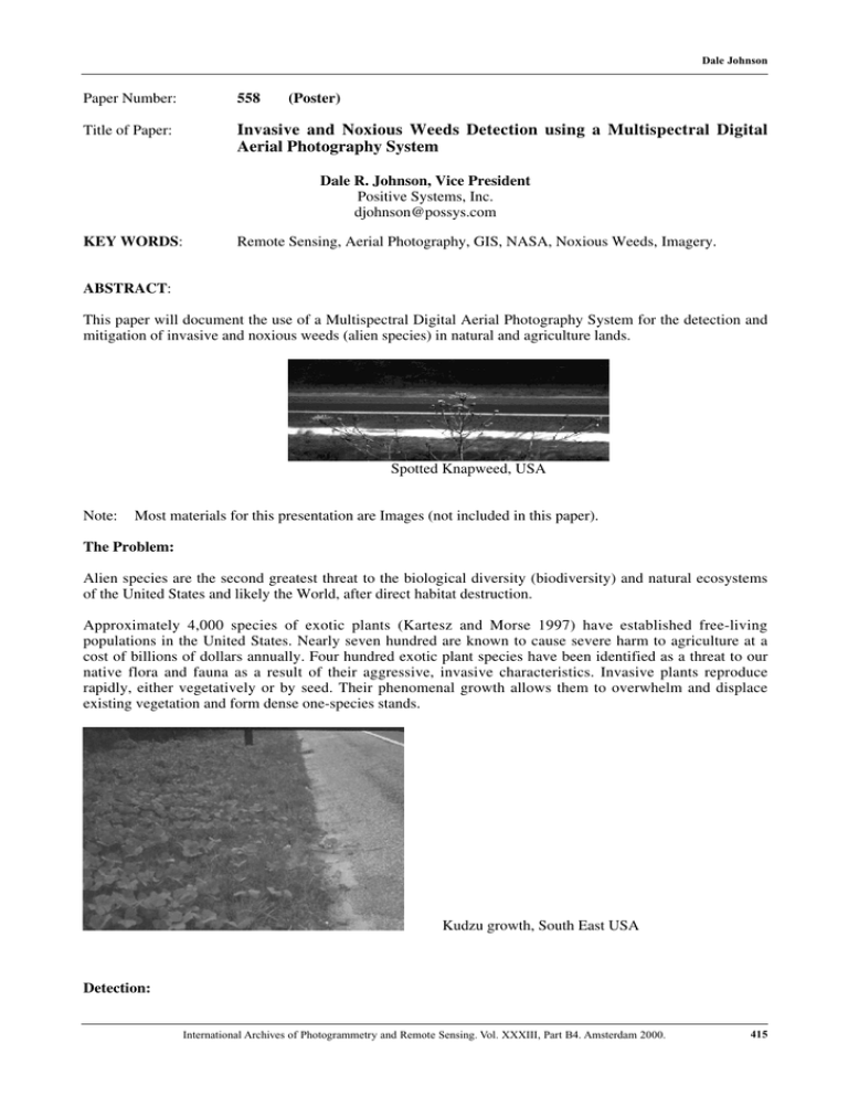
Dale Johnson Paper Number: 558 (Poster) Title of Paper: Invasive and Noxious Weeds Detection using a Multispectral Digital Aerial Photography System Dale R. Johnson, Vice President Positive Systems, Inc. djohnson@possys.com KEY WORDS: Remote Sensing, Aerial Photography, GIS, NASA, Noxious Weeds, Imagery. ABSTRACT: This paper will document the use of a Multispectral Digital Aerial Photography System for the detection and mitigation of invasive and noxious weeds (alien species) in natural and agriculture lands. Spotted Knapweed, USA Note: Most materials for this presentation are Images (not included in this paper). The Problem: Alien species are the second greatest threat to the biological diversity (biodiversity) and natural ecosystems of the United States and likely the World, after direct habitat destruction. Approximately 4,000 species of exotic plants (Kartesz and Morse 1997) have established free-living populations in the United States. Nearly seven hundred are known to cause severe harm to agriculture at a cost of billions of dollars annually. Four hundred exotic plant species have been identified as a threat to our native flora and fauna as a result of their aggressive, invasive characteristics. Invasive plants reproduce rapidly, either vegetatively or by seed. Their phenomenal growth allows them to overwhelm and displace existing vegetation and form dense one-species stands. Kudzu growth, South East USA Detection: International Archives of Photogrammetry and Remote Sensing. Vol. XXXIII, Part B4. Amsterdam 2000. 415 Dale Johnson The best way to reduce plant invasions is to focus on preventing non-native species introductions, managing existing infestations, minimizing disturbance to forests, wetlands, barrens and other natural communities, and learning to work with, rather than against, "Mother Nature". Multispectral Digital Aerial Photography has been shown to be a very effective tool in early detection of invasive plants. As early detection and mitigation are two of the key steps needed to keep the various plant types in control from spreading rapidly. The ADAR System 5500: • • • • • • Frame-based sensors, similar to conventional aerial photography, but with no film or film processing. Four-band multispectral system. Optical wavelengths (400nm to 1000nm) • Blue, green, red, near infrared bands High resolution imagery Emulates Landsat TM satellite sensor bands 1-4, but with higher resolution (0.5 to 3 meter per pixel GSD) GPS latitude/longitudee identifies Prevention and Management: The paper will discuss the actions needed to remove noxious weeds, once a management plan has been finalized and detection has been verified. Such action includes biological, manual and chemical forms of eradication. Most materials for this presentation are Images (not included in this paper). Review of Projects: Spotted Knapweed > Madison County-Ruby Watershed Noxious Weed Trials In Montana: • Demonstrating utility of high-resolution spectral image data. • Principal Investigators – Montana State University • Extensive correlation between aerial imagery and ground sampling. Demonstration Project 1999: • • • Addresses identified need for more efficient weed mapping and control mechanisms. • Remote Sensing offers promise over traditional ground-based methods (including GPS). Critical Goal • Establish statistical relationship of the weeds detected from the air verses those detected on the ground. Secondary Goals • Encourage a commercial costing and implementation model. • Elevate awareness and show the benefits of broad-based support/cooperation by local land management groups. References: Positive Systems, Inc. ADAR System 5500 http://www.possys.com 416 International Archives of Photogrammetry and Remote Sensing. Vol. XXXIII, Part B4. Amsterdam 2000.


