Last Time MAS 603: Geological Oceanography
advertisement
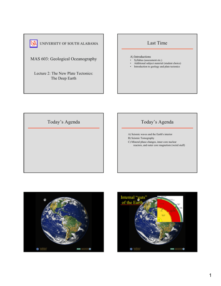
Last Time UNIVERSITY OF SOUTH ALABAMA MAS 603: Geological Oceanography A) Introductions • • • Syllabus (assessment etc.) Additional subject material (student choice) Introduction to geology and plate tectonics Lecture 2: The New Plate Tectonics: The Deep Earth Today’s Agenda Today’s Agenda A) Seismic waves and the Earth's interior B) Seismic Tomography C) Mineral phase changes, inner core nuclear reactors, and outer core magnetism (weird stuff) Internal “guts” of the Earth 1 Internal “guts” of the Earth 1 Internal “guts” of the Earth 2 The 4 layers of the Earth are distinguished on the basis of geophysics, specifically the way that seismic waves travel through the Earth. 3 4 Four Major “Geophysical” Layers 1) The Crust 2) The Mantle 3) The Outer Core 4) The Inner Core Seismic Waves Three major types of seismic waves are distinguished: Seismic Waves P and S-waves are called body waves because they travel through the Earth. 1) P-waves (Primary) travel by compression 2) S-waves (Secondary) travel by shear 3) Surface waves (Long waves) travel along the surface P-waves travel through all media and are the fastest (4+ km/s) S-waves cannot pass through liquids and are slower (3+ km/s) Seismic Waves Seismic Waves As P and S-waves travel through the Earth, they speed up and slow down according to the density of the materials they pass through. But wave refraction results in the formation of “shadow zones” where P or S-waves do not occur. This results in wave refraction. If an earthquake is powerful enough, seismic waves can make it around the world. Propagation of P-waves P-wave shadow zones 2 Seismic Waves But wave refraction results in the formation of “shadow zones” where P or S-waves do not occur. Seismographs Seismic waves are recorded using seismographs. The S-wave shadow zone is wider than the P-wave shadow zone P-wave shadow zones Earthquake Magnitude Seismograms Magnitude 1 Effects (source http://earthquakescanada.nrcan.gc.ca) Not perceptible to people 2 3 Often felt, but rarely cause damage. 4 # per year (worldwide) Source: USGS Strength compared to a Magnitude 3 quake ? -100 1,300,000 -10 130,000 -- 13,000 10 5 At most slight damage to well-designed buildings. Can cause major damage to poorly constructed buildings over small regions. 1300 100 6 Can cause damage to poorly constructed buildings and other structures in areas up to about 100 kilometers across where people live. Substantial deaths, especially if epicenter is in a major city 150 1000 7 "Major" earthquake. Can cause serious damage over larger areas. 20 10,000 8 "Great" earthquake. Can cause serious damage and loss of life in areas several hundred kilometers across. 1 100,000 9 Rare great earthquake. Can cause major damage over a large region over 1000 km across. <1 1,000,000 10 Impossible unless you make bad movies 10,000,000 Seismology of the Deep Earth Seismology of the Deep Earth Seismology of the deep Earth refers to studying the Earth's lower mantle and core using various seismological techniques. Seismology of the deep Earth refers to studying the Earth's lower mantle and core using various seismological techniques. This provides the best insight in the dynamic processes that are happening thousands of km beneath the surface. 3 Deep Seismic Seismology of the Deep Earth Seismology of the deep Earth refers to studying the Earth's lower mantle and core using various seismological techniques. This provides the best insight in the dynamic processes that are happening thousands of km beneath the surface. Of particular interest are investigating processes at the core-mantle boundary, and heterogeneity/anisotropy in the inner core using seismic body waves. Deep Seismic The speed that Sand P- waves travel through the Earth varies an many places. The most dramatic changes are associated with the 4 major layers… Deep Seismic The speed that Sand P- waves travel through the Earth varies an many places. The most dramatic changes are associated with the 4 major layers… Deep Seismic The speed that Sand P- waves travel through the Earth varies an many places. The most dramatic changes are associated with the 4 major layers… Deep Seismic 15- 50 km down: zone of partial melting (velocity drop) = “Moho” 5-35 km (Mohorovicic Disconformity) … but 5-50 km down, you get sharp drop in wave speed. Andrija Mohorovicic (1857-1936) 4 Deep Seismic 15- 50 km down: zone of partial melting (velocity drop) = “Moho” Deep Seismic Other changes are likely due to mineral phase changes (e.g., α→β quartz; coesite etc.) (Mohorovicic Disconformity) 200 km Andrija Mohorovicic (1857-1936) Polymorphs of SiO2 Quartz has 6 polymorphs related to pressure and temperature β-quartz α-quartz Mineral Phase Changes Polymorphs of SiO2 Quartz has 6 polymorphs related to pressure and temperature β -quartz α -quartz If you heat “quartz” above 600 ºC it transforms to the βpolymorph (also known as high quartz). When the temperature falls below 600ºC it transforms back to the α- polymorph (also known as low quartz). Deep Seismic In the 1970’s, seismic techniques were refined by petroleum companies that started to reveal deep features not previously seen. 5 Deep Seismic Deep Seismic At the Society of Exploration Geophysicists Annual Meeting in Mexico City in 1973, there was a special session that reviewed deep seismic reflection experiments from around the world. Subsequently proposals were made for the establishment and funding of the Consortium for Continental Reflection Profiling (COCORP) to the US National Academy of Sciences as part of the US Program for the International Geodynamics Project (COCORP Newsletter No. 1, Oct. 1976). These proposals were accepted and funding was then forthcoming for the first three COCORP projects from the National Science Foundation (NSF). The preferred technique was VIBROSEIS which uses conga-lines of vehicles rather than more labor-intensive schemes. Deep Seismic Deep Seismic Really impressive. COCORP lines are being run all around the world these days The results were impressive Seismic Tomography Seismic Tomography Seismic tomography is a method of using seismic waves from earthquakes (plus some other data) to create 3D images of the mantle. These studies pick out areas of fast or slow mantle, which correspond to areas of high and low temperature. Features like mid-oceanic ridge are easily identifiable using seismic tomography 6 Seismic Tomography So too are upwellings Seismic Tomography Seismic Tomography and descending lithospheric plates Seismic Tomography New computation power also permits large scale modeling of heat flow in the mantle Seismic Tomography The Future So what’s next? A combo of geophysical and mechanical techniques to resolve geo-mysteries. e.g., the diamond anvil Which is useful in heat exchange predictions and predicting the source of geochemical compounds (He, Ar and C) 7 Diamond Anvils They let you model the deep Earth where temperatures exceed 2000 ºC and pressures exceed 12,000 atmospheres. Diamond Anvils They let you model the deep Earth where temperatures exceed 2000 ºC and pressures exceed 12,000 atmospheres. Diamond Anvils They let you model the deep Earth where temperatures exceed 2000 ºC and pressures exceed 12,000 atmospheres. The Core There are 4 core mysteries that are currently intriguing geologists. 1) Magnetic field 2) High heat flow 3) High revolution rate 4) The “D” layer Next Time 1. Divergent plate boundaries and evolution of ocean basins (Wilson cycle) 8
