Geographic Information Systems in Coastal and Marine Research and Management
advertisement

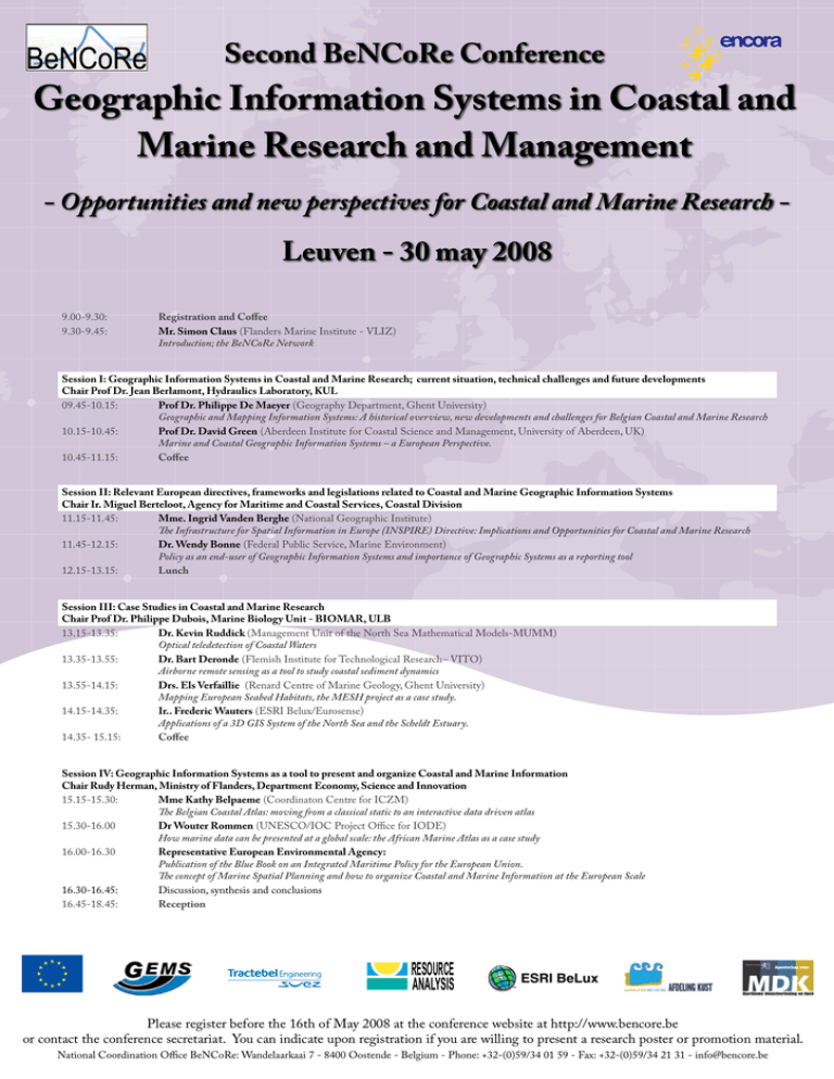
Second BeNCoRe Conference Geographic Information Systems in Coastal and Marine Research and Management - Opportunities and new perspectives for Coastal and Marine Research - Leuven - 30 may 2008 9.00-9.30: 9.30-9.45: Registration and Coffee Mr. Simon Claus (Flanders Marine Institute - VLIZ) Introduction; the BeNCoRe Network Session I: Geographic Information Systems in Coastal and Marine Research; current situation, technical challenges and future developments Chair Prof Dr. Jean Berlamont, Hydraulics Laboratory, KUL 09.45-10.15: Prof Dr. Philippe De Maeyer (Geography Department, Ghent University) Geographic and Mapping Information Systems: A historical overview, new developments and challenges for Belgian Coastal and Marine Research 10.15-10.45: Prof Dr. David Green (Aberdeen Institute for Coastal Science and Management, University of Aberdeen, UK) Marine and Coastal Geographic Information Systems – a European Perspective. 10.45-11.15: Coffee Session II: Relevant European directives, frameworks and legislations related to Coastal and Marine Geographic Information Systems Chair Ir. Miguel Berteloot, Agency for Maritime and Coastal Services, Coastal Division 11.15-11.45: Mme. Ingrid Vanden Berghe (National Geographic Institute) The Infrastructure for Spatial Information in Europe (INSPIRE) Directive: Implications and Opportunities for Coastal and Marine Research 11.45-12.15: Dr. Wendy Bonne (Federal Public Service, Marine Environment) Policy as an end-user of Geographic Information Systems and importance of Geographic Systems as a reporting tool 12.15-13.15: Lunch Session III: Case Studies in Coastal and Marine Research Chair Prof Dr. Philippe Dubois, Marine Biology Unit - BIOMAR, ULB 13.15-13.35: Dr. Kevin Ruddick (Management Unit of the North Sea Mathematical Models-MUMM) Optical teledetection of Coastal Waters 13.35-13.55: Dr. Bart Deronde (Flemish Institute for Technological Research– VITO) Airborne remote sensing as a tool to study coastal sediment dynamics 13.55-14.15: Drs. Els Verfaillie (Renard Centre of Marine Geology, Ghent University) Mapping European Seabed Habitats, the MESH project as a case study. 14.15-14.35: Ir.. Frederic Wauters (ESRI Belux/Eurosense) Applications of a 3D GIS System of the North Sea and the Scheldt Estuary. 14.35- 15.15: Coffee Session IV: Geographic Information Systems as a tool to present and organize Coastal and Marine Information Chair Rudy Herman, Ministry of Flanders, Department Economy, Science and Innovation 15.15-15.30: Mme Kathy Belpaeme (Coordinaton Centre for ICZM) The Belgian Coastal Atlas: moving from a classical static to an interactive data driven atlas 15.30-16.00 Dr Wouter Rommen (UNESCO/IOC Project Office for IODE) How marine data can be presented at a global scale: the African Marine Atlas as a case study 16.00-16.30 Representative European Environmental Agency: Publication of the Blue Book on an Integrated Maritime Policy for the European Union. The concept of Marine Spatial Planning and how to organize Coastal and Marine Information at the European Scale 16.30-16.45: Discussion, synthesis and conclusions 16.45-18.45: Reception RESOURCE ANALYSIS Please register before the 16th of May 2008 at the conference website at http://www.bencore.be or contact the conference secretariat. You can indicate upon registration if you are willing to present a research poster or promotion material. National Coordination Office BeNCoRe: Wandelaarkaai 7 - 8400 Oostende - Belgium - Phone: +32-(0)59/34 01 59 - Fax: +32-(0)59/34 21 31 - info@bencore.be


