Guide to Sanborn Fire Insurance Maps in Ball State University...
advertisement

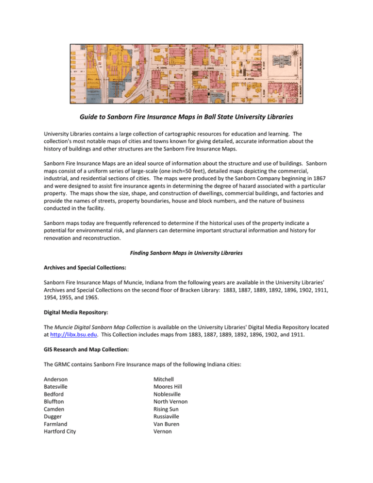
Guide to Sanborn Fire Insurance Maps in Ball State University Libraries University Libraries contains a large collection of cartographic resources for education and learning. The collection's most notable maps of cities and towns known for giving detailed, accurate information about the history of buildings and other structures are the Sanborn Fire Insurance Maps. Sanborn Fire Insurance Maps are an ideal source of information about the structure and use of buildings. Sanborn maps consist of a uniform series of large-scale (one inch=50 feet), detailed maps depicting the commercial, industrial, and residential sections of cities. The maps were produced by the Sanborn Company beginning in 1867 and were designed to assist fire insurance agents in determining the degree of hazard associated with a particular property. The maps show the size, shape, and construction of dwellings, commercial buildings, and factories and provide the names of streets, property boundaries, house and block numbers, and the nature of business conducted in the facility. Sanborn maps today are frequently referenced to determine if the historical uses of the property indicate a potential for environmental risk, and planners can determine important structural information and history for renovation and reconstruction. Finding Sanborn Maps in University Libraries Archives and Special Collections: Sanborn Fire Insurance Maps of Muncie, Indiana from the following years are available in the University Libraries’ Archives and Special Collections on the second floor of Bracken Library: 1883, 1887, 1889, 1892, 1896, 1902, 1911, 1954, 1955, and 1965. Digital Media Repository: The Muncie Digital Sanborn Map Collection is available on the University Libraries' Digital Media Repository located at http://libx.bsu.edu. This Collection includes maps from 1883, 1887, 1889, 1892, 1896, 1902, and 1911. GIS Research and Map Collection: The GRMC contains Sanborn Fire Insurance maps of the following Indiana cities: Anderson Batesville Bedford Bluffton Camden Dugger Farmland Hartford City Mitchell Moores Hill Noblesville North Vernon Rising Sun Russiaville Van Buren Vernon Hobart Hymera Kendallville Loogootee Wabash Winamac Wolcott Sanborn Fire Insurance Maps of St. Louis, Missouri, from the 1970's and Boston, Massachusetts, from 1975 are also available in the GRMC. Sanborn Manhattan Land Book of the City of New York, 1995, is available in the University Libraries' Atlas Collection just outside the GRMC. Microforms: Sanborn Fire Insurance Maps of various cities in Indiana, Kentucky, Ohio, and Tennessee and Chicago, Illinois are available on microfilm in the Microforms Collection of University Libraries, located in Bracken Library from the main circulation desk.


