E TENSION Graphic 6: ADWR Water Basins Expository Text
advertisement

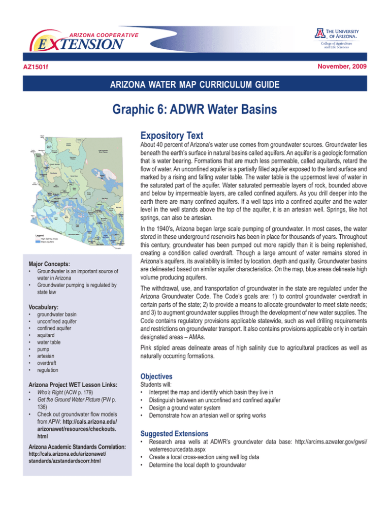
ARIZONA COOP E R AT I V E E TENSION November, 2009 AZ1501f arizona water map curriculum guide Graphic 6: ADWR Water Basins Expository Text About 40 percent of Arizona’s water use comes from groundwater sources. Groundwater lies beneath the earth’s surface in natural basins called aquifers. An aquifer is a geologic formation that is water bearing. Formations that are much less permeable, called aquitards, retard the flow of water. An unconfined aquifer is a partially filled aquifer exposed to the land surface and marked by a rising and falling water table. The water table is the uppermost level of water in the saturated part of the aquifer. Water saturated permeable layers of rock, bounded above and below by impermeable layers, are called confined aquifers. As you drill deeper into the earth there are many confined aquifers. If a well taps into a confined aquifer and the water level in the well stands above the top of the aquifer, it is an artesian well. Springs, like hot springs, can also be artesian. Major Concepts: • Groundwater is an important source of water in Arizona • Groundwater pumping is regulated by state law Vocabulary: • • • • • • • • • groundwater basin unconfined aquifer confined aquifer aquitard water table pump artesian overdraft regulation Arizona Project WET Lesson Links: • Who’s Right (ACW p. 179) • Get the Ground Water Picture (PW p. 136) • Check out groundwater flow models from APW: http://cals.arizona.edu/ arizonawet/resources/checkouts. html Arizona Academic Standards Correlation: http://cals.arizona.edu/arizonawet/ standards/azstandardscorr.html In the 1940’s, Arizona began large scale pumping of groundwater. In most cases, the water stored in these underground reservoirs has been in place for thousands of years. Throughout this century, groundwater has been pumped out more rapidly than it is being replenished, creating a condition called overdraft. Though a large amount of water remains stored in Arizona’s aquifers, its availability is limited by location, depth and quality. Groundwater basins are delineated based on similar aquifer characteristics. On the map, blue areas delineate high volume producing aquifers. The withdrawal, use, and transportation of groundwater in the state are regulated under the Arizona Groundwater Code. The Code’s goals are: 1) to control groundwater overdraft in certain parts of the state; 2) to provide a means to allocate groundwater to meet state needs; and 3) to augment groundwater supplies through the development of new water supplies. The Code contains regulatory provisions applicable statewide, such as well drilling requirements and restrictions on groundwater transport. It also contains provisions applicable only in certain designated areas – AMAs. Pink stipled areas delineate areas of high salinity due to agricultural practices as well as naturally occurring formations. Objectives Students will: • Interpret the map and identify which basin they live in • Distinguish between an unconfined and confined aquifer • Design a ground water system • Demonstrate how an artesian well or spring works Suggested Extensions • Research area wells at ADWR’s groundwater data base: http://arcims.azwater.gov/gwsi/ waterresourcedata.aspx • Create a local cross-section using well log data • Determine the local depth to groundwater ARIZONA COOP E R AT I V E E TENSION THE UNIVERSITY OF ARIZONA COLLEGE OF AGRICULTURE AND LIFE SCIENCES The University of Arizona College of Agriculture and Life Sciences Tucson, Arizona 85721 Kerry Schwartz Associate Specialist, Dept. of Agricultural Education, Water Resources Research Center Kristine Uhlman, RG Area Assistant Agent, Natural Resources, Water Resources Research Center Contact: Kerry Schwartz kschwart@cals.arizona.edu This information has been reviewed by University faculty. cals.arizona.edu/pubs/water/az1501f.pdf Other titles from Arizona Cooperative Extension can be found at: cals.arizona.edu/pubs Any products, services or organizations that are mentioned, shown or indirectly implied in this publication do not imply endorsement by The University of Arizona. Issued in furtherance of Cooperative Extension work, acts of May 8 and June 30, 1914, in cooperation with the U.S. Department of Agriculture, James A. Christenson, Director, Cooperative Extension, College of Agriculture & Life Sciences, The University of Arizona. The University of Arizona is an equal opportunity, affirmative action institution. The University does not discriminate on the basis of race, color, religion, sex, national origin, age, disability, veteran status, or sexual orientation in its programs and activities.


