I
advertisement
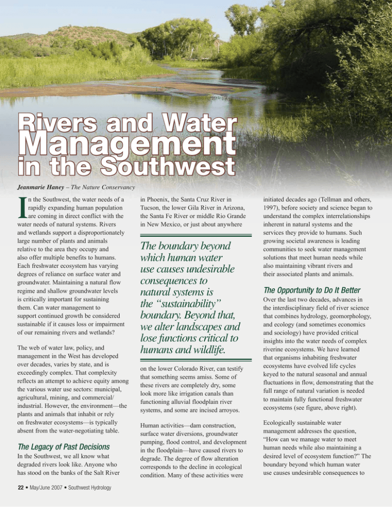
Rivers and Water Management in the Southwest Jeanmarie Haney – The Nature Conservancy I n the Southwest, the water needs of a rapidly expanding human population are coming in direct conflict with the water needs of natural systems. Rivers and wetlands support a disproportionately large number of plants and animals relative to the area they occupy and also offer multiple benefits to humans. Each freshwater ecosystem has varying degrees of reliance on surface water and groundwater. Maintaining a natural flow regime and shallow groundwater levels is critically important for sustaining them. Can water management to support continued growth be considered sustainable if it causes loss or impairment of our remaining rivers and wetlands? The web of water law, policy, and management in the West has developed over decades, varies by state, and is exceedingly complex. That complexity reflects an attempt to achieve equity among the various water use sectors: municipal, agricultural, mining, and commercial/ industrial. However, the environment—the plants and animals that inhabit or rely on freshwater ecosystems—is typically absent from the water-negotiating table. The Legacy of Past Decisions In the Southwest, we all know what degraded rivers look like. Anyone who has stood on the banks of the Salt River 22 • May/June 2007 • Southwest Hydrology in Phoenix, the Santa Cruz River in Tucson, the lower Gila River in Arizona, the Santa Fe River or middle Rio Grande in New Mexico, or just about anywhere The boundary beyond which human water use causes undesirable consequences to natural systems is the “sustainability” boundary. Beyond that, we alter landscapes and lose functions critical to humans and wildlife. initiated decades ago (Tellman and others, 1997), before society and science began to understand the complex interrelationships inherent in natural systems and the services they provide to humans. Such growing societal awareness is leading communities to seek water management solutions that meet human needs while also maintaining vibrant rivers and their associated plants and animals. The Opportunity to Do It Better on the lower Colorado River, can testify that something seems amiss. Some of these rivers are completely dry, some look more like irrigation canals than functioning alluvial floodplain river systems, and some are incised arroyos. Over the last two decades, advances in the interdisciplinary field of river science that combines hydrology, geomorphology, and ecology (and sometimes economics and sociology) have provided critical insights into the water needs of complex riverine ecosystems. We have learned that organisms inhabiting freshwater ecosystems have evolved life cycles keyed to the natural seasonal and annual fluctuations in flow, demonstrating that the full range of natural variation is needed to maintain fully functional freshwater ecosystems (see figure, above right). Human activities—dam construction, surface water diversions, groundwater pumping, flood control, and development in the floodplain—have caused rivers to degrade. The degree of flow alteration corresponds to the decline in ecological condition. Many of these activities were Ecologically sustainable water management addresses the question, “How can we manage water to meet human needs while also maintaining a desired level of ecosystem function?” The boundary beyond which human water use causes undesirable consequences to Average Daily Mean Flow (cfs) 1600 Conceptual Ecological Model for a Southwestern River Ecosystem 1400 1200 spring runoff 1000 800 winter rains 600 tropical storm season 400 summer baseflow 200 0 Southwestern willow flycatcher In-migration Nesting, incubation, fledging Out-migration Photo: Jeanmarie Haney cottonwood wetland and riparian birds Seed release Out-migration willow Seed release spikedace Spawning Larval and juvenile growth Jan Feb Mar Apr May Jun Jul Aug Sep Oct Nov Dec A conceptual ecological model captures the relationships between species life cycle needs and the natural flow pattern for rivers in a specific biogeographic realm. Ecologic relationships are generalized for a typical low- to mid-elevation southwestern stream. natural systems is the “sustainability” boundary (see figure below). Beyond that, we alter landscapes and lose functions critical to humans and wildlife. Science can provide the tools and methods for defining the water needs of specific river ecosystems and delineate the consequences of particular development scenarios. With this information in hand, water managers and citizens can decide what consequences they are willing to accept, and can work toward meeting human needs for water while maintaining adequate hydrologic conditions for the ecosystem. provide vital flows for maintaining habitat and species and are interconnected. The highly variable surface runoff regime supports the high flows and floods that mobilize sediment, revitalize habitat, and recharge the alluvial aquifer. The relatively stable baseflow regime, reflecting groundwater discharge, supports the aquatic and riparian habitat between runoff events. The life cycle needs of aquatic and riparian plants and animals are tied to these natural patterns. When the natural patterns of flow and groundwater levels are interrupted, the ecosystem suffers. Environmental Water Requirements Opportunities exist to re-operate dams and diversions to meet human water needs while also improving ecological condition and function downstream. Alamo Dam on the Bill Williams River in Arizona is Southwest rivers rely on two major water sources: 1) surface-water runoff from precipitation and snowmelt and 2) groundwater discharge. Both of these increasing human use sustainability boundary human use ecosystem use As human use of the available water resources expands, less is available for ecosystems. Eventually, the sustainability boundary is reached, beyond which additional human use will alter ecosystem function. In traditional water managmenet, water uses expand without considering ecosystem needs. one example (Shafroth and Beauchamp, 2006). Here, state, federal, and academic scientists are working with water managers to develop a flow prescription that optimizes ecologic health while meeting recreation and flood control needs. Similar ecologically sustainable water management could be conducted on surface water diversions to optimize conditions below a diversion while also meeting the needs of agriculture or municipal water users. Current law and policy may offer little incentive for changing operations of existing diversions; however, if incentives were offered, considerable ecologic improvement could result while maintaining water rights and human uses. To provide the necessary scientific guidance, an interdisciplinary team of system experts works collaboratively to define hydrologic requirements of key components of the ecosystem, such as native fish, aquatic invertebrates, or riparian-dependent birds. Where new diversions are shown to be necessary, there is the opportunity to protect riverine ecology from the see Rivers, page 34 May/June 2007 • Southwest Hydrology • 23 Rivers, continued from page 23 beginning, utilizing collaborative processes and applied interdisciplinary science. Most rivers in the Southwest are groundwater-dependent, flowing primarily in a baseflow regime supported by discharge from the connected aquifer. In an undeveloped aquifer, the rate of recharge to the aquifer is balanced by the rate of discharge from it. Aquifers naturally discharge through two principal pathways: 1) to the land surface via rivers, springs, and wetlands; and 2) through vegetation via transpiration. Pumping through wells is the one artificial pathway of aquifer discharge. In aquifers that still support surface-water discharge, consumptive groundwater use (by pumping) captures water that would otherwise discharge to the stream or spring system (Filippone and Leake, 2005; Anning and Konieczki, 2005). Thus, every drop of water consumptively used by humans is a drop lost to the riverine ecosystem. To the public, groundwater is out of sight, out of mind, and impacts to streams from groundwater use are often spatially and temporally distant from the place of pumping, and thus are easy to ignore or discount. Understanding the spatial connections of the natural and humanbuilt environments is critical to managing water efficiently to meet both human and ecosystem water needs. In the Upper San Pedro Basin in southeast Arizona, for example, Cochise County utilized results from regional groundwater modeling to define a corridor adjacent to the river where future pumping and increases in development density would have the most immediate and direct impacts on riparian health and sustainability. The county subsequently established an overlay district that, among other things, sets up a process for the transfer of development rights from this sensitive corridor into other areas of the watershed where pumping will not as directly impact the river (Cochise County, 2006). Reality Meets Theory Protecting our remaining rivers and wetlands is a considerable challenge, given the limited water availability; the time and space separation between groundwater pumping and streamflow depletion; the largely unmanaged growth Business Directory Creative Solutions for Client Success 326 South Wilmot Road Suite A-200 Tucson, AZ 85711 Tel.: 520.326.1898 info@HaleyAldrich.com HaleyAldrich.com 18 offices nationwide • Environmental Remediation Solutions • Water Resource Investigations • Environmental, Health, Safety Compliance • Environmental & Regulatory Strategies john j ward, rg groundwater consultant - water supply - peer review - expert witness - water rights - litigation support - due diligence Tucson AZ phone: (520) 296-8627 cell: (520) 490-2435 34 • May/June 2007 • Southwest Hydrology email: ward_groundwater@cox.net web: www.wardgroundwater.com that the Southwest is experiencing; and the disconnect between surface water and groundwater in many states’ laws. We have already lost many flowing streams, and many of those remaining are degraded. As a society, we must make choices and tradeoffs. Science provides the information to allow society to understand the consequences of its choices. References Anning, D.W., and A.D. Konieczki, 2005. Classification of hydrogeologic areas and hydrogeologic flow systems in the Basin and Range Physiographic Province, Southwestern United States, U.S. Geological Survey Professional Paper 1702. Cochise County, 2006. Resolution 06-1227, 12/05/06. Filippone, C., and S.A. Leake, 2005. Time scales in the sustainable management of water resources, Southwest Hydrology 4(1): 16-17. Shafroth, P.B., and V.B. Beauchamp, 2006. Defining ecosystem flow requirements for the Bill Williams River, Arizona, USGS Open File Report 2006-1314, www.fort.usgs.gov/products/ publications/21745/21745.pdf. Tellman, B., R. Yarde, and M.G. Wallace, 1997. Arizona’s changing rivers: How people have affected the rivers. Issue paper 19, Univ. of Arizona Water Resources Research Center. What can we do now? Identify the water needs of freshwater ecosystems and the connections between aquifers and streams in different parts of the region. Spatially delineate and understand the full ecological implications of current and future human water demands. Develop legal tools to allow local and county governments to link growth to water availability and determine for themselves how they will grow. Finally, provide information to communities to allow them to understand their physical setting, the consequences of growth, and the economic and biological value of streams in their region. Contact Jeanmarie Haney at jhaney@tnc.org. May/June 2007 • Southwest Hydrology • 35
