Science
advertisement
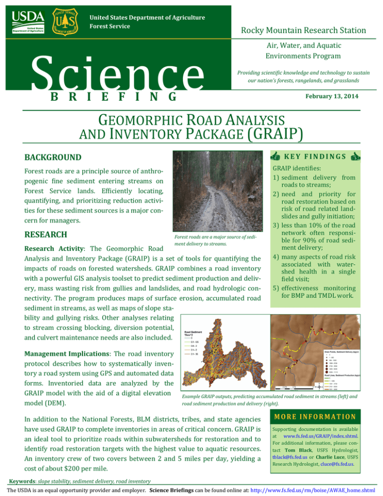
United States Department of Agriculture Forest Service Science Rocky Mountain Research Station Air, Water, and Aquatic Environments Program Providing scientific knowledge and technology to sustain our nation’s forests, rangelands, and grasslands B R I E F I N G February 13, 2014 GEOMORPHIC ROAD ANALYSIS AND INVENTORY PACKAGE (GRAIP) BACKGROUND KEY FINDINGS Forest roads are a principle source of anthropogenic fine sediment entering streams on Forest Service lands. Efficiently locating, quantifying, and prioritizing reduction activities for these sediment sources is a major concern for managers. RESEARCH Forest roads are a major source of sediment delivery to streams. Research Activity: The Geomorphic Road Analysis and Inventory Package (GRAIP) is a set of tools for quantifying the impacts of roads on forested watersheds. GRAIP combines a road inventory with a powerful GIS analysis toolset to predict sediment production and delivery, mass wasting risk from gullies and landslides, and road hydrologic connectivity. The program produces maps of surface erosion, accumulated road sediment in streams, as well as maps of slope stability and gullying risks. Other analyses relating to stream crossing blocking, diversion potential, and culvert maintenance needs are also included. Management Implications: The road inventory protocol describes how to systematically inventory a road system using GPS and automated data forms. Inventoried data are analyzed by the GRAIP model with the aid of a digital elevation model (DEM). GRAIP identifies: 1) sediment delivery from roads to streams; 2) need and priority for road restoration based on risk of road related landslides and gully initiation; 3) less than 10% of the road network often responsible for 90% of road sediment delivery; 4) many aspects of road risk associated with watershed health in a single field visit; 5) effectiveness monitoring for BMP and TMDL work. Example GRAIP outputs, predicting accumulated road sediment in streams (left) and road sediment production and delivery (right). In addition to the National Forests, BLM districts, tribes, and state agencies have used GRAIP to complete inventories in areas of critical concern. GRAIP is an ideal tool to prioritize roads within subwatersheds for restoration and to identify road restoration targets with the highest value to aquatic resources. An inventory crew of two covers between 2 and 5 miles per day, yielding a cost of about $200 per mile. MORE INFORMATION Supporting documentation is available at www.fs.fed.us/GRAIP/index.shtml. For additional information, please contact Tom Black, USFS Hydrologist, tblack@fs.fed.us or Charlie Luce, USFS Research Hydrologist, cluce@fs.fed.us. Keywords: slope stability, sediment delivery, road inventory The USDA is an equal opportunity provider and employer. Science Briefings can be found online at: http://www.fs.fed.us/rm/boise/AWAE_home.shtml
