Cape Farm 1010, Wolwerivier Basic Heritage Background information Prepared for
advertisement
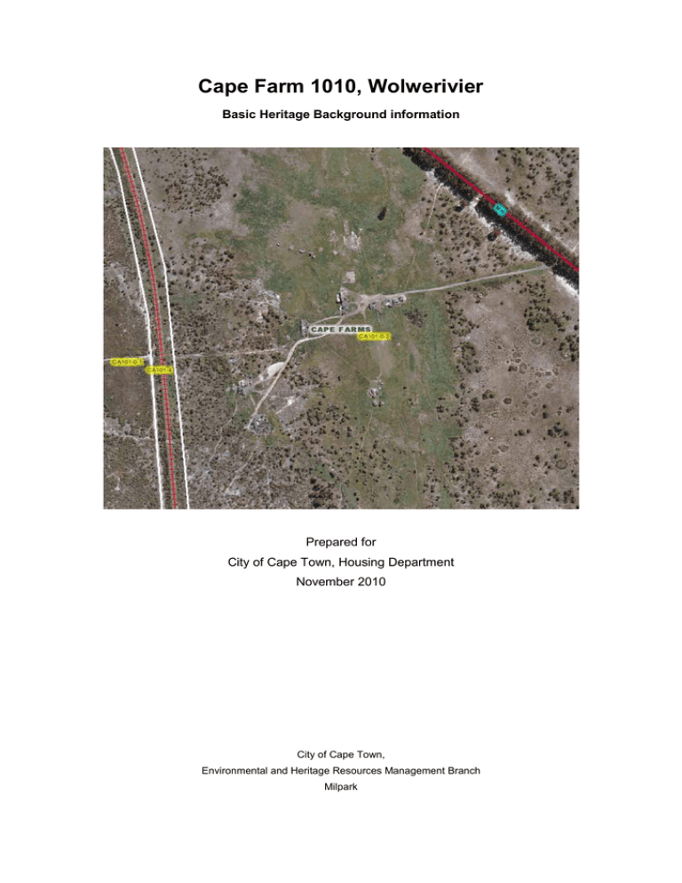
Cape Farm 1010, Wolwerivier Basic Heritage Background information Prepared for City of Cape Town, Housing Department November 2010 City of Cape Town, Environmental and Heritage Resources Management Branch Milpark Application The site is approximately 2,66ha in extant and the application is for the development of a Temporary Relocation Area by the Housing Directorate of the City of Cape Town. Property Description and Location The study area lies on a portion of Cape Farm 1010, Wolwerivier which is owned by the City of Cape Town. The site is located west of the N7 adjacent to the old Mamre road (R304) on the historic Bluegum tree avenue. Heritage Status The proposed development triggers Section 38 of the National Heritage Resources Act (no 25 of 1999) which states that: any development or other activity which will change the character of a site (i) exceeding 5000m2.’ Historical Background The farm is on a portion of the original farm Lot C which was historically reserved for the Forest Department according to the 1901 Cape Divisional Map. The farm is flanked by historical farms Keert de Koe and Blaauwberg farm which both have significant heritage value. Blaauwberg farm is listed as belonging to Helena Culix in 1730 and many core buildings still survive. Keert de Koe belonged to Petrus De Witt in 1767 and there is surviving historic fabric on the farm werf.1 According to the Built Environment Conservation Study conducted by Rennie Scurr Architects, a comparison between the historic ‘Cape Division’ map and a present-day 1:50000 map show that the cadastral boundaries of many of the current farms in District B have remained relatively unchanged since the late 1700s. This demarcation in fact has its origins in the veldcornet system of the Dutch period. Old Mamre Road, lined with mature Bluegum trees on either side of the road Rennie and Scurr (2001: 93) Portion of 1901 Map of Cape division (courtesy City of Cape Town) Heritage Significance There are some structures and buildings on the site. Many of the buildings are older than 60 years, however apart from a small workers cottage, the remainder of the buildings are not considered to have any visible heritage significance in terms of their architecture. The buildings mostly constitute ruins of old reservoirs and some residential cottages. It is noted that all of the above structures are at some distance from the proposed temporary relocation area and will not be altered or demolished. The property is located on a designated scenic route (R304) and the Bluegum tree on the periphery of the site is of cultural interest. Photo 1& 2: Ruins of reservoirs on site to remain. Photo 3: Ruin older than 60 years. Photo 4: Workers cottage on the property (fabric assumed older than 60years) Photo 5: View of the site from the road Photo 6: View of the Bluegum tree lane from the site looking North East Recommendations: • Retain the Bluegum tree avenue • Visual impacts on the tree lane are to be mitigated. It is recommended that any development on the site is set back from the Bluegum Avenue and that any proposed boundary fencing is sensitive to the surrounding context. Vibracrete walls are not supported. • If any paleontological or archaeological materials are exposed they must be dealt with in accordance with the National Heritage Resources Act (No. 25 of 1999). • Should any burials be exposed during earthmoving activities it should be noted that human remains are protected by law and must be reported to the South African Heritage Resources (SAHRA). Reference Rennie and Scurr. 2001. The built Environment Conservation Study for Blaauwberg Municipality.
