Exam Review
advertisement
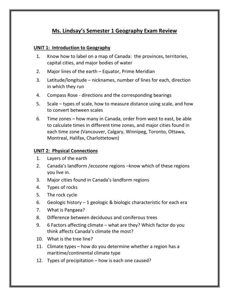
Ms. Lindsay’s Semester 1 Geography Exam Review UNIT 1: Introduction to Geography 1. Know how to label on a map of Canada: the provinces, territories, capital cities, and major bodies of water 2. Major lines of the earth – Equator, Prime Meridian 3. Latitude/longitude – nicknames, number of lines for each, direction in which they run 4. Compass Rose - directions and the corresponding bearings 5. Scale – types of scale, how to measure distance using scale, and how to convert between scales 6. Time zones – how many in Canada, order from west to east, be able to calculate times in different time zones, and major cities found in each time zone (Vancouver, Calgary, Winnipeg, Toronto, Ottawa, Montreal, Halifax, Charlottetown) UNIT 2: Physical Connections 1. Layers of the earth 2. Canada’s landform /ecozone regions –know which of these regions you live in. 3. Major cities found in Canada’s landform regions 4. Types of rocks 5. The rock cycle 6. Geologic history – 1 geologic & biologic characteristic for each era 7. What is Pangaea? 8. Difference between deciduous and coniferous trees 9. 6 Factors affecting climate – what are they? Which factor do you think affects Canada’s climate the most? 10. What is the tree line? 11. Climate types – how do you determine whether a region has a maritime/continental climate type 12. Types of precipitation – how is each one caused? 13. Climate graphs – be able to interpret and make calculations from information obtained i.e. avg. annual temperature, temperature range, total annual precipitation UNIT 3: Human Connections 1. Demography - immigration/emigration, push/pull factors, intervening obstacles 2. Formulas and definitions –population density, immigration/emigration rate, death/birth rate, natural increase/decrease, net migration rate, population growth rate, doubling time, and dependency load 3. Know the different population distributions 4. How to interpret population pyramids? (dependency load, what information you can gather from reading pyramid) 5. What is meant by the term “cultural mosaic” or “melting pot”? 6. Advantages/disadvantages to using Canada’s immigration point system 7. What was the baby boom? 8. Urban land use types. 9. Urban settlement patterns. 10. Canada’s Aboriginal People – 3 groups Aboriginal people divided into, treaty, reserve, land claim, First Nation, Aboriginal People 11. What are the problems caused with the treaties that were signed between the Canadian government and the Aboriginal People UNIT 4: Economic & International Connections 1. Industry types – primary, secondary, tertiary, quaternary 2. Primary – study notes from the group presentations 3. Secondary - Location factors for factories 4. Tertiary – basic vs. non-basic services 5. What is the “global village”? 6. Grouping Countries - Levels of development, limitations of grouping countries 7. Trade – balance, surplus, deficit 8. Examples of Canada’s major imports/exports 9. Canada’s trading partners 10. What is an “ecological footprint” and how can you reduce your ecological footprint? 11. What is climate change?
