7CoordSystems - Arizona State University
advertisement
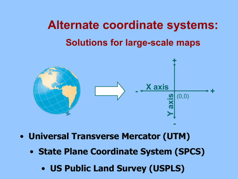
Alternate coordinate systems: Solutions for large-scale maps + X axis Y axis - (0,0) - • Universal Transverse Mercator (UTM) • State Plane Coordinate System (SPCS) • US Public Land Survey (USPLS) + The Geographic Coordinate System: Strengths: – One set of coordinates can describe an exact location anywhere on the globe – Based on the earth’s spherical shape Issues: Subdivision of degrees: 1° = 60’ 1’ = 60” 1 degree = 60 minutes 1 minute = 60 seconds The length of 1 ° longitude varies UTM Grid System: Why it was developed • UTM = Universal Transverse Mercator • Developed shortly after World War II by US Army • Now, UTM system used widely for precise positioning Mercator Transverse Mercator 1 UTM zone: 6 degrees wide • Is divided into north-south columns known as zones (between 80°S and 84°N) • Zones are numbered 1 to 60 eastward from the Int’l Date Line UTM Zones for the United States Logic of the UTM Grid Zone 12 Origin 500,000 m Reading the UTM Grid Easting is measured from the central meridian + 500,000 m Northing is measured from the equator Austin is: 621,161 m E, 3,349,894 m N, Zone 14 N, NAD 83 Some additional facts about UTM Accuracy level of UTM -Maximum error is: 1 m / 1000 m (5 feet in a mile) Designating location: GCS • Geographic Coordinate System 33° 40’ 12” North Deg. Min. Sec. Hemisph. 111° 55’ 30” West Deg. Min. Sec. Hemisph. • Universal Transverse Mercator 621,100 m E, 3349,800 m N, Zone 14 N, NAD 83 Easting, Northing, Or, on topo map: 621100 m E, 3349800 m N Zone, Datum Comparing coordinate systems + X axis Y axis - (0,0) - • The Geographic Coordinate System • Universal Transverse Mercator (UTM) • State Plane Coordinate System (SPCS) • US Public Land Survey (USPLS) + The Geographic Coordinate System: Longitude and latitude Latitude 33° 30’ 00” North, Degrees, Minutes, Seconds N, Longitude 112° 00’ 00” West Degrees, Minutes, Seconds W The United States Public Land Survey: The National Picture The United States Public Land Survey: Townships & Ranges T 2 S, Township, R 3 W, Range, Gila and Salt River Meridian Principal Meridian Townships Survey Township 6 mi. Ranges Choosing a Coordinate System Cartesian coordinate systems: – – When precise measurements of distance & area are needed Choose a system based on size & position USPLS UTM Geographic Coordinate system: – Thematic maps – coordinates give general idea of location on globe Use of Known Features Size of known objects may be visible on the map—particularly true with aerial photographs Strategy: 1. Create a fraction: In real life: Athletic field is 130 yards Map distance / real distance 2. Simplify: • Numerator & denominator are in same units • numerator is “1” On the photo: Athletic field 7/8 inch 7 inches 0.875 0 . 875 inches 0.875 8 0.875 1 130 yards 130 * 36 inches 4680 4680 5349 0.875 Photo scale = Approx 1:5,350 Use of Latitude and Longitude Strategy: In real life: 1. Create a fraction: Map distance / real distance 1° latitude = 111.13 km 2. Simplify: • Numerator & denominator are in same units • numerator is “1” On the map: 10° latitude = 1,111.3 km 10° latitude = 8.8 cm Map scale = approx 1:12,628,750 8.8 8.8 cm 8.8 cm 8.8 1111.33 km 1111.33 *100,000 cm 111,133,000 8.8 1 12,628,750 Using longitude instead: If using longitude, remember they converge at the poles. Calculate the distance with the following formula: Distance = cos(latitude) x 111.113km Map Comparison Use a map with a known scale and compare features on the map with unknown scale 1. Measure the distance between same pair features on both maps 6 inches 5 inches 1:5200 2. Calculate the real- world distance on the map with the known scale 6” = x” on ground? 6” = 5200” x 6 6” = 31,200” on ground 6 inches 5 inches 1:5200 3. Calculate the ratio – as before – of the map with unknown scale 6” = x” on ground? 5” = 31,200” on ground 6” = 5200” x 6 1” = 31,200” / 5 6” = 31,200” on ground 1” = 6240” on ground 6 inches 5 inches 1:5200 1:6240 Scale and area 9 square inches, 1:5200 map: 9 sq in (map) = 46,800 sq in (ground) ? RFs are LINEAR scales, and can be used to measure lines but not areas (at least not directly) NO! That would imply that, from McAllister to Palm Walk is 207 inches on the ground! 1 2 3 4 5 6 7 8 9 1:5200 Scale and area 3 inches on each (linear) side 3”map = 5200 x 3”ground 3”map = 15,600” ground • To calculate AREA from a linear scale … 15,600” / 63,360in/mi = .246 mi .246 mi x .246 mi =.064 mi2 Strategy: 1. Measure width & height of area (on map): 2. Use RF to calculate the area’s width & height in real world • Convert to more convenient real-world units Multiply real-world width x height 3. 3” 3” 1:5200 New points about scale … Two common RF’s: – – – 1:63,360 1 inch represents 1 mile 1:100,000 1 cm represents 1 km Use these two RFs to be able to visualize the meaning of other RF’s Strategies for solving scale problems: – To calculate RF for a map of unknown scale 1. Create a fraction: Map distance / real distance 2. Simplify: – Numerator & denominator are in same units numerator is “1” To calculate land area: 1. Find height and width in real-world units 2. Multiply these 2 values

