Lab # 21 Latitude and Longitude
advertisement

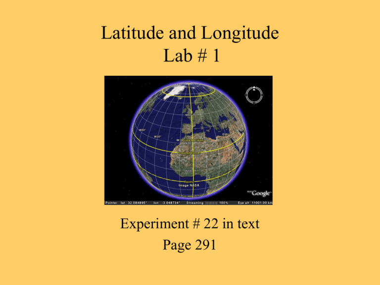
Latitude and Longitude Lab # 1 Experiment # 22 in text Page 291 After the lab is complete you will be able to: Explain the grid system used for locating places and features on Earth. Use Earth’s grid system to accurately locating places and features on Earth. Explain the relationship between latitude and the angle of the North Star (Polaris) above the horizon Earth’s Grid System A system of North-South and East-West lines on a map that form the basis of locating points on Earth. Latitude – North-South distance on Earth • They are a measured distance North or South from the equator. • They are horizontal lines that circle a globe. Longitude – East-West distance on Earth • These lines mark a distance East or West from the prime meridian. • They are the vertical lines that circle the globe. Important Latitude Lines http://www.worldatlas.com/aatlas/imagee.htm Latitude Lines They run East to West and they measure the distance North or South of the Equator Equator is the only great circle that is also a latitude line • Great circles - cut the globe in half The tropic of Cancer and Capricorn are small circles • Small circles - do not cut the globe in half How to Determine Latitude Latitude line may be drawn at any interval from the equator On page 292 draw a line through B (this is the equator) From the equator draw a line to point C The line connecting these two points will have a 45O angle. This point is therefore 45O N latitude Figure 22.3 pg 292 45O Angle C Equator B Thus point C is 45O N latitude Longitude Lines Run North to South; they measure a distance east or west of the Prime Meridian. Where to put the prime meridian? Greenwich, England here because at the time England was the head of the scientific community. Before there were many meridians that longitude was based off of. The Prime Meridian was used to standardize all of the other Meridians. All longitude lines are great circles. Prime Meridian North Pole London, England South Pole Using Earth’s Grid System Using both parallels of latitude and meridians of longitude it is possible to accurately locate any point on the surface of the Earth. Where 90O (N or S) is the maximum distance from the Equator and 180O is the maximum distance from the Prime Meridian. To be more precise we can break down degrees into minutes and seconds. • Fractions of a degree (not covered in this class) Labeling Latitude and Longitude For Latitude Lines: • North (N) or South (S) must be labeled for all latitudes except the Equator (0O) For Latitude Lines: • East (E) or West (W) must be labeled for all longitudes except the Prime Meridian (0O) and the International Date Line (180O) Lab Report Due Next Class: • Questions on page 321 #1-7, 11 & 12


