Long Lat Lab
advertisement

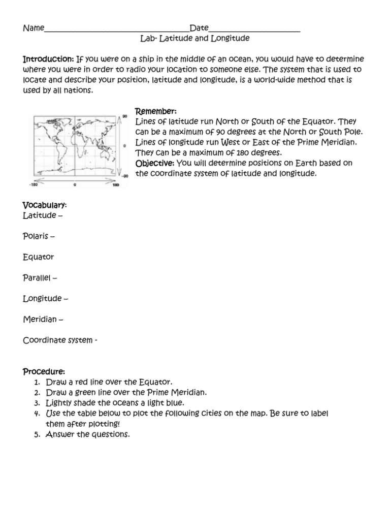
Name______________________________________Date________________________ Lab- Latitude and Longitude Introduction: If you were on a ship in the middle of an ocean, you would have to determine where you were in order to radio your location to someone else. The system that is used to locate and describe your position, latitude and longitude, is a world-wide method that is used by all nations. Remember: Lines of latitude run North or South of the Equator. They can be a maximum of 90 degrees at the North or South Pole. Lines of longitude run West or East of the Prime Meridian. They can be a maximum of 180 degrees. Objective: You will determine positions on Earth based on the coordinate system of latitude and longitude. Vocabulary: Latitude – Polaris – Equator Parallel – Longitude – Meridian – Coordinate system - Procedure: 1. Draw a red line over the Equator. 2. Draw a green line over the Prime Meridian. 3. Lightly shade the oceans a light blue. 4. Use the table below to plot the following cities on the map. Be sure to label them after plotting! 5. Answer the questions. Getting to know your world Analysis Questions: 1. What is the largest angle that latitude can be measured in? 2. Explain why two circles of latitude never touch. 3. Where on Earth do lines of longitude touch? 4. You are on a boat which is crossing the Prime Meridian. The altitude of Polaris is 50 degrees. What is your latitude and longitude? 5. Where is the International Date Line? 6. What happens when you cross the International Date Line? 7. You look up in the sky and Polaris is no where to be found. Where could you be? 8. Can you see Polaris at the Equator? If so, where would it be? Conclusion: Describe how latitude and longitude coordinates are used to locate positions on Earth. What are some uses for a coordinate system like this?


