Title: Learning Cycle-Climate of the World
advertisement
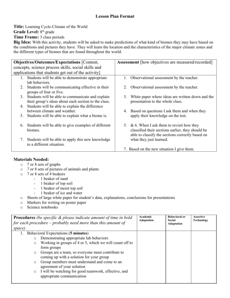
Lesson Plan Format Title: Learning Cycle-Climate of the World Grade Level: 8th grade Time Frame: 3 class periods Big Idea: With this activity, students will be asked to make predictions of what kind of biomes they may have based on the conditions and pictures they have. They will learn the location and the characteristics of the major climate zones and the different types of biomes that are found throughout the world. Objectives/Outcomes/Expectations [Content, concepts, science process skills, social skills and applications that students get out of the activity] Assessment [how objectives are measured/recorded] 1. Students will be able to demonstrate appropriate lab behaviors. 2. Students will be communicating effective in their groups of four or five. 3. Students will be able to communicate and explain their group’s ideas about each section to the class. 4. Students will be able to explain the difference between climate and weather. 5. Students will be able to explain what a biome is. 1. Observational assessment by the teacher. 6. Students will be able to give examples of different biomes. 5. & 6. When I ask them to revisit how they classified their sections earlier, they should be able to classify the sections correctly based on what they just learned. 7. Students will be able to apply this new knowledge to a different situation. 2. Observational assessment by the teacher. 3. White paper where ideas are written down and the presentation to the whole class. 4. Based on questions I ask them and when they apply their knowledge on the test. 7. Based on the new situation I give them. Materials Needed: o o o o o o 7 or 8 sets of graphs 7 or 8 sets of pictures of animals and plants 7 or 8 sets of 4 beakers - 1 beaker of sand - 1 beaker of top soil - 1 beaker of moist top soil - 1 beaker of ice and water Sheets of large white paper for student’s data, explanations, conclusions for presentations Markers for writing on poster paper Science notebooks Procedures (be specific & please indicate amount of time in bold for each procedure – probably need more than this amount of space) 1. Behavioral Expectations (5 minutes) o Demonstrating appropriate lab behaviors o Working in groups of 4 or 5, which we will count off to form groups o Groups are a team, so everyone must contribute to coming up with a solution for your group o Group members must understand and come to an agreement of your solution o I will be watching for good teamwork, effective, and appropriate communication Academic Adaptation Behavioral or Social Adaptation Assertive Technology Exploration Phase (to go through directions-5 minutes) 2. Hand out the worksheet with the directions and objectives on it. Go through and explain the directions. 3. Explain to the students what each person’s job is based on their number for picking up supplies. o When I say it’s OK, find group members and find a place to work. o Member #1: picks up graphs o Member #2: picks up animal/plant pictures o Member #3: picks up four beakers with different substances in them o Member #4: picks up large white paper and markers 4. Divide large white paper into 4 sections vertically (up and down) 5. Number each section 1-4. Section 1 corresponds with beaker 1. 6. For all the sections, your group will discuss and write down on the large sheet of white paper the following: o What kind of stuff is in each beaker? o Describe the stuff in each beaker. o Looking at the graphs, which graph would correspond with each beaker? Write the number from the graph on your sheet of paper and explain why. o o o Looking at the pictures of plants and animals, which set of pictures would correspond with each beaker? Write the number from the pictures on your sheet of paper and explain why. Give each section a classification or a name from what you know based on the stuff in each beaker, the animals, and the plants you put in that section. Your group will pick one person to come up in front of the class to explain what your group’s findings were and conclusions your group made. Presentations will be made the next day of class. 7. Count off students by 7’s or 8’s, so I will have 7 or 8 groups of four. 8. Tell the students to find group and place to work. 9. Work time (30-40 minutes) Concept Development phase (1-2 class periods) 10. Group Presentations-have the students write down one thing that was different from your group’s idea or write down one thing they learned for each presentation. 11. After group presentations ask the students what some of the similarities were between everyone posters and presentations? 12. Ask what were some differences between what groups thought? 13. Based on your classification for each section, what scientific term could we use? o Biome: a large region characterized by a specific type of climate and the plants and animals that live there 14. What are biomes classified as again? o Climate: is the average weather conditions in an area over a long period of time o Determined by two main factors: 1.) Temperature and 2.) Precipitation o The temperature of an area depends on what? - Latitude: the distance north or south, measured in degrees, from the equator - The higher the latitude the cold the climate is. 15. What is the difference between weather and climate? o Weather: is the condition of the atmosphere at a particular time and place 16. Now that we know what a biome is, what are some examples of the Earth’s biomes? (As biomes get said, fill in chart on board that students will copy into their science notebook.) o Tropical Zone: warm zone located around the equator - Tropical Rain Forest - Tropical Deserts - Tropical Savannas o The Temperate Zone: climate zone between the Tropics and the polar zone - Temperate Forests - Temperate Grasslands - Chaparrals - Temperate Deserts: o The Polar Zone: includes the northernmost and southernmost climate zones - Tundra: driest on Earth; long, cold winters with almost 24 hours of night and short, cool summers with almost 24 hours of daylight - Permafrost: prevents the water in the thawed soil from draining - Upper layer is muddy and excellent breeding ground for insects 17. Draw a picture of the zones. Polar (66.5oN) Temperate Zone Tropical Zone (23.5oN) Equator (0o) Tropical Zone (23.5oS) Temperate Zone Polar Zone (66.5oS) 18. Describe each biome (Fill in chart-temperature, precipitation, soil, one or two animals and plants) o Tropical Rain Forest - Warm and wet because they are near equator - Strong sunlight year-round; little light difference between seasons - Greatest number of plants and animals - Soil is poor - Rapid decay of plants and animals returns nutrients to the soil, but these nutrients are quickly absorbed and used by other plants. - If not they are washed away by heavy rains - Temperature Range: 25oC-28oC (77F82F) - Precipitation: 200 cm or more o Tropical Deserts - Driest place on Earth - Plants adapted to survive in a place with little water - Hot or cold deserts - Majority of hot deserts, like Sahara, in Africa - Hot deserts caused by cool sinking air masses - Soil very poor - Temperature Range: 16oC-50oC (61F120F) - Precipitation: 0-25 cm o Tropical Savannas - Can be referred to as grasslands - Dominated by tall grasses, with trees scattered throughout - Climate vary warm, with a dry season that lasts 4-8 months followed by short periods of rain - Soil are nutrient poor, but grass fires (common during dry season) leave solid nutrient enriched - Temperature Range: 27oC-32oC (80F90F) o Temperate Forests - Very high amounts of rainfall and seasonal temperature differences - Summers are warm and winters cold - Deciduous trees: trees that lose their leaves when the weather becomes cold - Evergreens: trees that keep their leaves year-round - Soil usually quite fertile because of high organic content contributed by decaying leaves that drop in the winter - Temperature Range: 0oC-28oC (32F-82F) - Precipitation: 76-250cm o o o o o Temperate Grasslands - Warm summers and cool inters - Known as prairies in America, steppes of Eurasia, veldt of Africa, and pampas of South America - Grasses most common vegetation - Soil is most fertile of all biomes - Temperature Range: -6oC-26o C (21F-78F) - Precipitation: 38-76 cm Chaparrals - Cool, wet winters and hot, dry summers - Vegetation is evergreen shrubs, which are short, woody plants with thick, waxy leaves - Waxy leaves are adaptations that help prevent water loss in dry conditions - Soil is poor because it’s rocky and nutrient poor - Temperature Range: 11oC-26oC (51F78F) - Precipitation: 48-56 cm Temperate Deserts - Cold Deserts - Hot in the daytime, but very cold at night - Large change in temperature is caused by low humidity and cloudless skies - Very Dry because generally located inland, far away from the moisture source, or are located on the rain-shadow side of a mountain range - Temperature Range: 1oC-50oC (34F120F) - Precipitation: 0-25 cm Tundra - Next to the deserts, tundra is the driest place on Earth - Long, cold winters with almost 24 hours of night, and short, cool summers with almost 24 hours of daylight - Underneath the thawed soil lies a permanently frozen layer of soil called permafrost - This frozen layer prevents water in the thawed soil from draining - Upper soil layer is muddy and is great breeding ground for insects - Temperature Range: -27oC-5oC (-17F41F) - Precipitation: 0-25 cm Taiga - Long, cold winters and short, warm summers - Soil frozen during winter - Soil is very acidic - Temperature Range: -10oC-15oC (14F59F) - Precipitation: 40-61 cm 19. Biomes are described in textbook on pages 75-82 20. Revisit each section classified and ask them what the correct classification should be? 21. We looked at the different biomes and their temperatures, but why do you think there is such a temperature difference at these different areas? (HINT: think latitudes) o Answer has to do with solar energy. Solar energy heats the Earth. Latitude determines the amount of solar energy a particular area receives. o Sun’s rays hit the equator at a 90o angle-at this angle a small area of the Earth’s surface receives more direct solar energy resulting in high temperatures. o Near the poles, the sun’s rays strike the surface at a lesser angle than at the equator. This lesser angle spreads the same amount of solar energy over a large area, resulting in lower temperatures. Application 22. Based on what we just learned about the descriptions of different biomes, identify each biome this person visited based on the descriptions. o It’s beautiful around here. But I made the mistake of touching a cactus, just to see how prickly it was. It can be really warm during the day and cold at night. Where am I? (Temperate Deserts) o I can’t wait to get home, the mosquitoes are terrible! Our highlight was a glimpse of the caribou herd. (Tundra) o Will it ever stop raining? At least everything is green and lush. And the monkeys are sssssoooo cute! (Tropical Rain Forest) o I saw my first kangaroo today. You can see them from the car, hopping across the wide-open spaces. (Tropical Deserts) Components Embedded in the Lesson Procedure Students' Misconceptions or Trouble Areas: Students may mix up the definitions for the terms weather and climate. Students may confuse rain forests with forests in monsoon-climate regions. While rain forests have a fairly steady rate of precipitation, monsoon forests have a rainy season and a dry season. Students may think you have to travel to the tropics to find a rain forest. Western Washington state is home of the largest temperate rain forest in the world. Questions to ask: Questions are throughout my lesson plan and will depend on what student’s responses are to presentations and questions I ask them. Background Knowledge: Will be based on what student’s prior knowledge is. Staging/Tips/Tricks/Safety: Make sure during the exploration phase I am walking around listening to all students asking them questions trying to find out their misconceptions. Worksheets: Attached-Directions for exploration phase
